North Lake Campsite
Campground
Campground · < 0.1 mi from the trail
Alert in the area
The Forest Service lists 4 alerts for Hood River Ranger District.
Current fire closures on Mt. Hood National Forest
Agency alert covering Hood River Ranger District · USFS · Hood River Ranger District
Eagle Creek Fire Area Closures
Agency alert covering Mt. Hood National Forest · Order 06-22-01-26-04 · USFS · Mt. Hood National Forest
FR 4613 road damage- use caution
Agency alert covering Mt. Hood National Forest · USFS · Mt. Hood National Forest
Crane Creek bridge closed on the Barlow Road
Agency alert covering Mt. Hood National Forest · USFS · Mt. Hood National Forest
As of · Source: USFS · Hood River Ranger District. Agencies don't list every closure — check before you go.
North Lake is an easy hike in Oregon's Mark O. Hatfield Wilderness, part of the Hood River Ranger District of Mt. Hood National Forest. The route is an out-and-back that starts at about 4,084 feet and climbs to a high point of 4,577 feet before descending back to the trailhead. The total gain is about 950 feet, and the steepest stretch, with a grade of about 31%, comes roughly a mile into the hike. The trail is natural-surfaced, and the Forest Service manages the surrounding land. The trip takes about 1.5 hours. The nearest town is Hood River, about 2.8 miles away. Nearby options include the Plateau Cutoff Trail #412 and the Rainy Lake hike, both within a mile. Black Lake campground sits about 1.8 miles away, and Wyeth Campground is about 3.5 miles off.
North Lake Campsite
Campground
 If it rainsJmasterson, CC BY-SA 3.0 · Wikimedia Commons
Western Antique Aeroplane & Automobile Museum
Museum
Aviation and automobile museum in Oregon, United States
Places © OpenStreetMap contributors · Photos: Jmasterson, CC BY-SA 3.0 (commons)
More in Mount Hood VillagesNot on Roamze yet. Their page has how to reach them.
 Photo: Forest Service Pacific Northwest Region, Public Domain Mark (via Flickr)
Mt. Defiance
~3 min drive
3.20-mile out-and-back trail in Oregon with 138 ft gain.
 Photo: Joe Omundson, CC BY-SA 1.0 (via Wikimedia Commons)
Mt. Defiance Tie
~3 min drive
1.26-mile out-and-back trail with 539 ft gain in Oregon.
 Photo: Robert Ashworth from Bellingham, WA., USA, CC BY 2.0 (via Wikimedia Commons)
Wyeth
~5 min drive
12.20-mile out-and-back trail in Oregon with 4,272 ft elevation gain
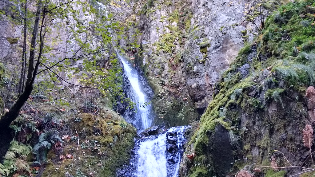 Photo: mjfmjfmjf, CC BY 2.0 (via Flickr)
Augspurger
~8 min drive
15.78-mile out-and-back trail in Oregon with 5,124 ft elevation gain.
Photo: Joe Omundson, CC BY-SA 1.0 (via Wikimedia Commons)Mitchell Point
~4 min drive
Mitchell Point is a 1.32-mile out-and-back trail in Oregon with 71 feet of elevation gain.
Photo: Joe Omundson, CC BY-SA 1.0 (via Wikimedia Commons)Warren Lake Trail #417A
~5 min drive
0.78-mile out-and-back trail in Oregon with 90 ft of elevation gain.
Photo: Robert Ashworth from Bellingham, WA., USA, CC BY 2.0 (via Wikimedia Commons)Gorge Trail #400
~6 min drive
6.88-mile out-and-back trail in Oregon with 3,956 ft elevation gain/loss.
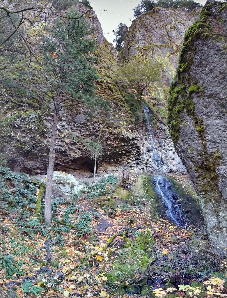 Photo: mjfmjfmjf, CC BY 2.0 (via Flickr)
Starvation Ridge Trail #414
~7 min drive
6.28-mile out-and-back hike in Oregon with 5,004 ft elevation gain
 Photo: mjfmjfmjf, CC BY 2.0 (via Flickr)
Mt Defiance
~6 min drive
4.40-mile out-and-back trail to Mt Defiance in Oregon with 2,985 ft gain.
 Photo: theslowlane, CC BY 2.0 (via Flickr)
Starvation Ridge Cutoff Trail #414B
~7 min drive
0.68-mile out-and-back trail in Oregon with 692 ft elevation gain.


