Pine Knob Loop
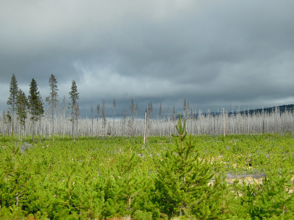 Photo: Juhele_CZ, Public Domain Dedication (CC0) (via Flickr)
- 0.6 mi
- round trip
- 121 ft
- climb
- 4,799 ft
- high point
- Out and back
- route
- Jun–Aug
- best months
Is PINE KNOB LOOP open right now?
No closures listed
The Forest Service lists no closures for Fremont-Winema National Forest.
As of · Source: USFS · Fremont-Winema National Forest. Agencies don't list every closure — check before you go.
Pine Knob Loop is a short, easy hike in the Chemult Ranger District of the Fremont-Winema National Forest in southern Oregon, managed by the Forest Service. The trail is about 0.56 miles long and is an out-and-back route, with a total climb of about 121 feet from the low point at 4,747 feet to the high at 4,799 feet. The steepest stretch comes early in the route, at about 0.14 miles in, with a grade of about 6 percent. Summer is the most comfortable time to go. Typical averages from the nearby Chemult weather station show July highs around 83°F with lows near 39°F and only about three wet days in the month. Winter is much colder, with January highs around 37°F and lows near 15°F. Several other trails sit close by. Jill's Hill and Twisted Pine are cross-country ski routes within half a mile, and the Outer Runner Loop and Play Loop hikes are each about 0.7 miles away. For an overnight stay, Corral Springs Campground is about 1.6 miles off.
Local outfitters
- Diamond Lake Resort18 mi away
- Shelter Cove Resort & Marina27 mi away
Not on Roamze yet. Their page has how to reach them.
Best time to go · Jun–Aug
Best time to visit PINE KNOB LOOP
Best months: June–August. Best months have typical highs of 55–85 °F, lows of 30 °F or warmer (32 °F where the station doesn't record snow), at most one snowy day and no more than 12 wet days.
Jan
37° / 15°
13 wet
Feb
41° / 17°
11 wet
Mar
47° / 21°
11 wet
Apr
53° / 24°
10 wet
May
63° / 30°
9 wet
Jun
72° / 34°
5 wet
Jul
83° / 39°
3 wet
Aug
82° / 37°
2 wet
Sep
75° / 30°
3 wet
Oct
61° / 24°
7 wet
Nov
44° / 21°
12 wet
Dec
36° / 15°
14 wet
Typical high / low (°F) and days with rain or snow, 1991–2020. Measured at Chemult, OR, 0.7 mi away at 4,760 ft. This station doesn't record snowfall. Source: NOAA NCEI U.S. Climate Normals 1991–2020.
Keep exploring — more trails worth the drive
Photo: Juhele_CZ, Public Domain Dedication (CC0) (via Flickr)TWINKLE LOOP
~1 min drive
1.79-mile loop trail in Oregon with 73 ft gain and 117 ft loss.
Photo: Juhele_CZ, Public Domain Dedication (CC0) (via Flickr)PLAY LOOP
~1 min drive
9.9-mile out-and-back trail in Oregon with 546 ft gain/loss.
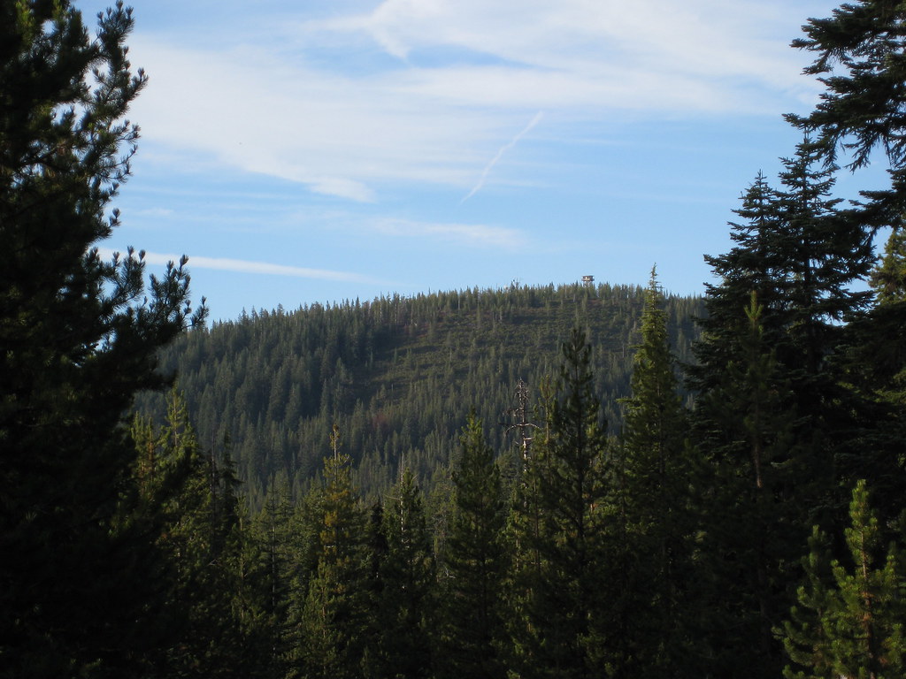 Photo: brewbooks, CC BY-SA 2.0 (via Flickr)
Howlock Mtn.
~26 min drive
6.60-mile out-and-back trail in Oregon with 1,641 ft elevation gain.
HIKE
Waterbag Way Trail
~26 min drive
8.68-mile out-and-back trail in Oregon with 2,387 ft elevation gain and loss.
Photo: Juhele_CZ, Public Domain Dedication (CC0) (via Flickr)OUTER RUNNER LOOP
~1 min drive
0.90-mile loop in Oregon with 100 ft elevation gain
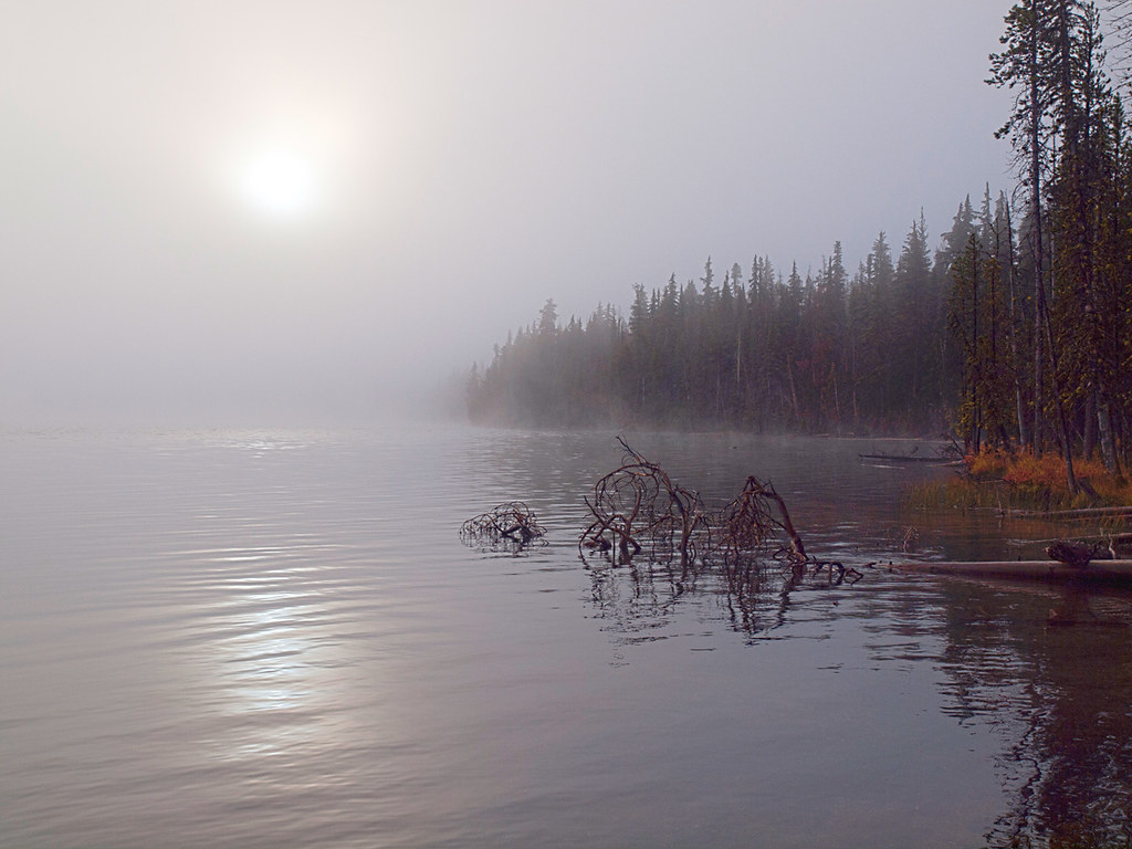 Photo: opiebreath, CC BY 2.0 (via Flickr)
Maidu Lake Trail
~13 min drive
5.60-mile out-and-back hike at Maidu Lake Trail in Oregon with 904 ft elevation gain.
 Photo: U.S. Forest Service- Pacific Northwest Region, Public domain (via Wikimedia Commons)
Mt. Thielsen
~27 min drive
1.80-mile out-and-back trail to Mt. Thielsen with 1,774 ft elevation gain in Oregon.
Photo: Juhele_CZ, Public Domain Dedication (CC0) (via Flickr)RUNNER LOOP
~1 min drive
0.89-mile loop with 80 ft gain and 87 ft loss in Oregon
Photo: brewbooks, CC BY-SA 2.0 (via Flickr)Thielsen Creek
~26 min drive
4.40-mile out-and-back trail in Oregon with 917 ft elevation gain.
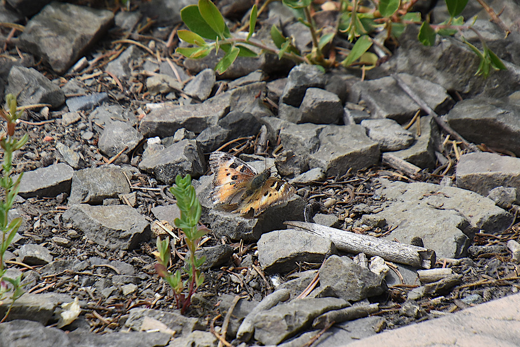 Photo: Don Henise, CC BY 2.0 (via Flickr)
Howlock Mountain Trail
~28 min drive
6.16-mile out-and-back hike in Oregon with 853 ft gain/loss, max 6,031 ft

