Perimeter Trail
- 0.7 mi
- loop
- 80 ft
- climb
- 151 ft
- high point
- Loop
- route
- Jun–Sep
- best months
Clear today
Weather is good · OpenWeather · checked just now
Perimeter Trail is a short, easy loop of about 0.7 miles on the Spring Valley Access Willamette River Greenway in Oregon, managed by State Park and Recreation. The trail is a low-elevation outing, with a high point of about 151 feet and a low of about 105 feet, and it gains and loses roughly 80 feet over the course of the loop. The steepest stretch comes at about half a mile in, with a grade of about 3 percent. Summer is the most comfortable time to go. Typical averages from a nearby weather station in McMinnville show July and August highs around 83°F with only about three wet days a month, while winter months bring highs in the mid-40s and rain on most days. Several other trails start close by. Upper Spring Valley Trail and Rook Trail are each about 0.1 mile away, and Generator Trail is about 0.3 mile off. For paddling, Ash Swale is about 7 miles away.
Local outfitters
- Tree Climbing at Silver Falls21 mi away
- Adventures Without Limits31 mi away
Not on Roamze yet. Their page has how to reach them.
- Upper Spring Valley TrailHiking0.1 mi
- Rook TrailHiking0.1 mi
- Generator TrailHiking0.3 mi
- TCC TrailHiking0.3 mi
- K TrailHiking1 mi
- Ash SwaleCanoeing7 mi
 Mill CreekCanoeingPhoto: Trashbag at English Wikipedia, CC BY-SA 3.0 (via Wikimedia Commons)8.7 mi
- Little Pudding RiverCanoeing9.5 mi
Source: Roamze catalog (indexable pages within 10 miles, PostGIS distance)
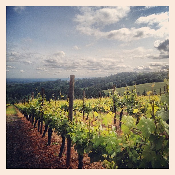 Harvey Creek TrailHiking · ~26 min drivePhoto: amy.z, CC BY 2.0 (via Flickr)
- K TrailHiking · ~2 min drive
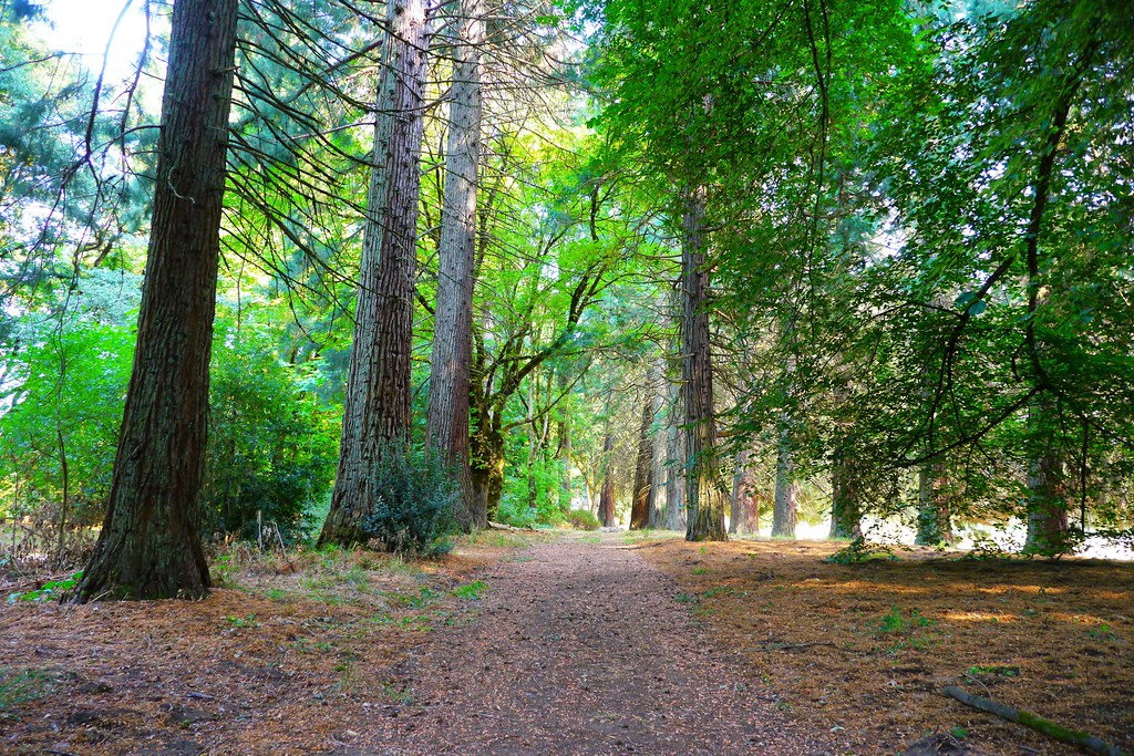 Champoeg Bike PathHiking · ~27 min drivePhoto: Rick Obst, CC BY 2.0 (via Flickr)
- Edgewater TrailHiking · ~15 min drive
- Parrette Mountain River TrailHiking · ~27 min drivePhoto: Rick Obst, CC BY 2.0 (via Flickr)
- Guadalupe LoopHiking · ~26 min drive
- Town Site TrailHiking · ~27 min drivePhoto: Rick Obst, CC BY 2.0 (via Flickr)
- Outer LoopHiking · ~28 min drive
 Champoeg Bike PathHiking · ~29 min drivePhoto: Mike Byrnes, Public domain (via Wikimedia Commons)
 Ankeny Hill Nature Center TrailHiking · ~31 min drivePhoto: docoverachiever, CC BY 2.0 (via Flickr)
Best time to visit Perimeter Trail
Best months: June–September. Best months have typical highs of 55–85 °F, lows of 30 °F or warmer (32 °F where the station doesn't record snow), at most one snowy day and no more than 12 wet days.
Jan
47° / 35°
19 wet
Feb
51° / 35°
16 wet
Mar
56° / 37°
19 wet
Apr
61° / 40°
16 wet
May
68° / 44°
13 wet
Jun
74° / 48°
8 wet
Jul
83° / 52°
3 wet
Aug
83° / 52°
3 wet
Sep
77° / 48°
8 wet
Oct
64° / 42°
14 wet
Nov
53° / 38°
18 wet
Dec
46° / 34°
20 wet
Typical high / low (°F) and days with rain or snow, 1991–2020. Measured at Mcminnville Muni Ap, OR, 9.5 mi away at 159 ft. This station doesn't record snowfall. Source: NOAA NCEI U.S. Climate Normals 1991–2020.
Map and trail data © OpenStreetMap contributors
