Outer Loop
- 4.1 mi
- loop
- 1,034 ft
- climb
- 696 ft
- high point
- Loop
- route
- Mar–Oct
- best months
Outer Loop is a 4.1-mile loop hike in Oregon, about 4.5 miles from McMinnville. The route rises steadily from a low point of 279 feet to a high of 696 feet, with a total elevation gain of 1,034 feet. The climb is moderate, and the steepest stretch comes at about 0.9 miles in, where the grade reaches 17 percent. Late spring and early fall are the most comfortable times to go. Typical averages from a nearby weather station in McMinnville show May highs around 70°F and September highs around 77°F, while July and August average about 83°F. That station sits roughly 540 feet lower than the trail's high point, so temperatures on the loop run cooler. The hike takes about two hours. Oak Summit is just 0.3 miles away, and Baker Creek offers canoeing about 0.6 miles off. Westside Greenway is about 2.8 miles away, and the North Yamhill River is about 5.8 miles away.
Local outfitters
- Adventures Without Limits20 mi away
- Salmon River RV Park33 mi away
Not on Roamze yet. Their page has how to reach them.
Best time to go · Mar–Oct
Best time to visit Outer Loop
Best months: March–October. Best months have typical highs of 55–85 °F, lows of 30 °F or warmer (32 °F where the station doesn't record snow), at most one snowy day and no more than 12 wet days.
Jan
47° / 36°
Feb
51° / 36°
Mar
56° / 38°
Apr
62° / 40°
May
70° / 46°
Jun
75° / 50°
Jul
83° / 54°
Aug
83° / 54°
Sep
77° / 50°
Oct
64° / 44°
Nov
53° / 39°
Dec
46° / 35°
Typical high / low (°F) and days with rain or snow, 1991–2020. Measured at Mc Minnville, OR, 5.8 mi away at 155 ft. The station sits about 500 ft lower than this place, so expect it a little cooler here. This station doesn't record snowfall. Source: NOAA NCEI U.S. Climate Normals 1991–2020.
Keep exploring — more trails worth the drive
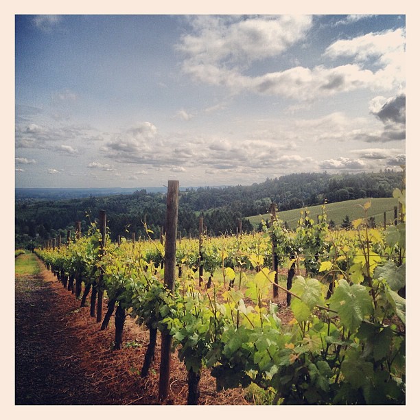 Photo: amy.z, CC BY 2.0 (via Flickr)
Harvey Creek Trail
~22 min drive
Easy 1-mile out-and-back creek walk in Oregon.
 Photo: lumachrome, CC BY-SA 2.0 (via Flickr)
Niagra Falls
~30 min drive
2.02-mile out-and-back trail in Oregon with 471 ft gain and 715 ft loss.
HIKE
Hagg Lake Trail
~28 min drive
13.35-mile loop around Hagg Lake in Oregon with 1,733 ft of elevation gain.
 Photo: mjfmjfmjf, CC BY 2.0 (via Flickr)
Mampaɬ Trail
~28 min drive
1.14-mile lollipop trail in Oregon with 261 ft gain and 329 ft loss.
HIKE
Guadalupe Loop
~17 min drive
3.55-mile loop in Oregon with 1,146 ft elevation gain and loss.
Photo: mjfmjfmjf, CC BY 2.0 (via Flickr)Zorzal Trail
~28 min drive
0.86-mile out-and-back hike in Oregon with 144 ft elevation gain.
HIKE
K Trail
~27 min drive
3.69-mile out-and-back hike in Oregon with 385 ft gain.
 Photo: mjfmjfmjf, CC BY 2.0 (via Flickr)
Woodland Trail
~29 min drive
2.74-mile out-and-back trail in Oregon with 641 ft elevation gain
 Photo: mjfmjfmjf, CC BY 2.0 (via Flickr)
Chehalem Ridge Trail
~29 min drive
2.74-mile out-and-back trail in Oregon with 947 ft elevation gain
 Photo: mjfmjfmjf, CC BY 2.0 (via Flickr)
Ayeekwa Trail
~29 min drive
1.26-mile out-and-back trail in Oregon with 263 ft elevation gain
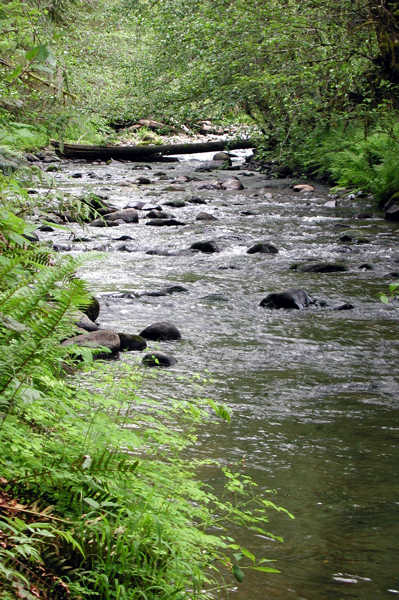
Map and trail data © OpenStreetMap contributors
