Guadalupe Loop
- 3.6 mi
- loop
- 1,146 ft
- climb
- 1,115 ft
- high point
- Loop
- route
- May–Sep
- best months
Guadalupe Loop is a 3.6-mile loop hike in Oregon, about 3 miles from the town of Lafayette. The trail rises from a low point of 253 feet to a high of 1,115 feet, with a total elevation gain of 1,146 feet. The climb is moderate, and the steepest stretch comes at about 1.9 miles in, where the grade reaches 24%. Summer is the most comfortable time to go. Typical averages from a nearby weather station show July and August highs around 81°F with only about four wet days a month, while winter brings highs in the mid-40s and rain on most days. That station sits about 600 feet lower than the trail's high point, so temperatures on the loop run cooler. The hike takes about two hours. Monk's Trail starts just 0.2 miles away, and Harvey Creek Trail is about 2.9 miles off. Paddlers can head to Chehalem Creek, about 3.4 miles away, or Yamhill Creek, roughly 6.8 miles away.
Local outfitters
- Adventures Without Limits16 mi away
- Cascadia Wild25 mi away
Not on Roamze yet. Their page has how to reach them.
- Monk’s TrailHiking0.2 mi
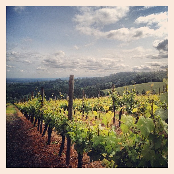 Harvey Creek TrailHikingPhoto: amy.z, CC BY 2.0 (via Flickr)2.9 mi
 Chehalem CreekCanoeingPhoto: Finetooth, CC BY-SA 3.0 (via Wikimedia Commons)3.4 mi
- Hess Creek Canyon LoopHiking5.9 mi
- Joe Dancer Park TrailHiking6.6 mi
- Yamhill CreekCanoeing6.8 mi
- Panther CreekCanoeing8.9 mi
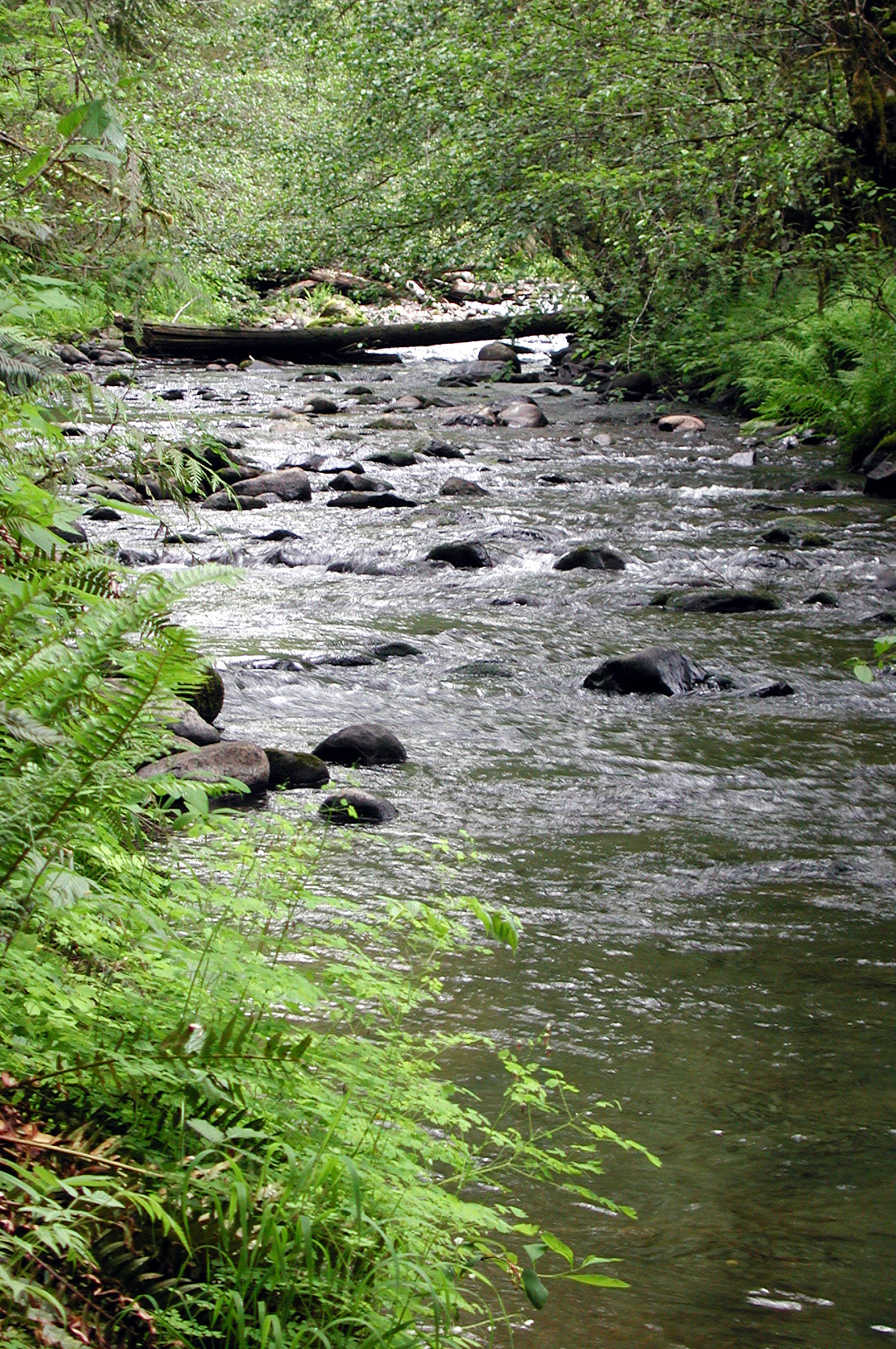 North Yamhill RiverCanoeingPhoto: Finetooth, CC BY-SA 3.0 (via Wikimedia Commons)9 mi
Source: Roamze catalog (indexable pages within 10 miles, PostGIS distance)
- Harvey Creek TrailHiking · ~5 min drivePhoto: amy.z, CC BY 2.0 (via Flickr)
- Outer LoopHiking · ~17 min drive
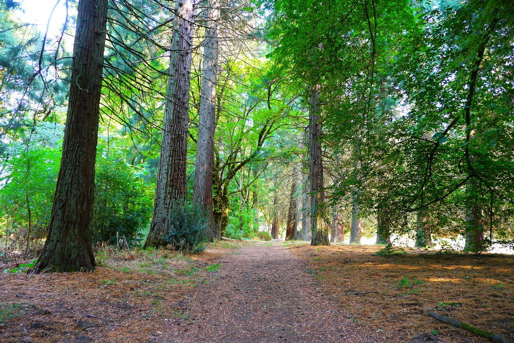 Champoeg Bike PathHiking · ~16 min drivePhoto: Rick Obst, CC BY 2.0 (via Flickr)
- K TrailHiking · ~24 min drive
- Parrette Mountain River TrailHiking · ~16 min drivePhoto: Rick Obst, CC BY 2.0 (via Flickr)
- Town Site TrailHiking · ~17 min drivePhoto: Rick Obst, CC BY 2.0 (via Flickr)
 Woodland TrailHiking · ~19 min drivePhoto: mjfmjfmjf, CC BY 2.0 (via Flickr)
 Mampaɬ TrailHiking · ~19 min drivePhoto: mjfmjfmjf, CC BY 2.0 (via Flickr)
- Zorzal TrailHiking · ~19 min drivePhoto: mjfmjfmjf, CC BY 2.0 (via Flickr)
 Ayeekwa TrailHiking · ~19 min drivePhoto: mjfmjfmjf, CC BY 2.0 (via Flickr)
Best time to visit Guadalupe Loop
Best months: May–September. Best months have typical highs of 55–85 °F, lows of 30 °F or warmer (32 °F where the station doesn't record snow), at most one snowy day and no more than 12 wet days.
Jan
45° / 35°
19 wet
Feb
50° / 36°
16 wet
Mar
55° / 38°
17 wet
Apr
61° / 41°
15 wet
May
66° / 47°
12 wet
Jun
72° / 51°
8 wet
Jul
81° / 56°
4 wet
Aug
81° / 56°
4 wet
Sep
75° / 52°
7 wet
Oct
62° / 45°
13 wet
Nov
51° / 39°
18 wet
Dec
44° / 34°
20 wet
Typical high / low (°F) and days with rain or snow, 1991–2020. Measured at Rex 1 S, OR, 8.4 mi away at 515 ft. The station sits about 600 ft lower than this place, so expect it a little cooler here. Source: NOAA NCEI U.S. Climate Normals 1991–2020.
Map and trail data © OpenStreetMap contributors
