Town Site Trail
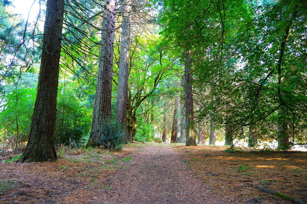 Photo: Rick Obst, CC BY 2.0 (via Flickr)
- 0.4 mi
- round trip
- 153 ft
- climb
- 119 ft
- high point
- Out and back
- route
- Jun–Sep
- best months
Town Site Trail is an easy, short walk set within Champoeg State Heritage Area in Oregon, on city-managed land about 0.4 miles from the start. The trail is an out-and-back of roughly 0.8 miles, with a total climb of about 153 feet from the low point to the high point, which sits around 119 feet. That makes it a gentle route, suitable for a quick stop rather than a full day on foot. Summer is the most comfortable time to go. Typical averages from a nearby weather station in Aurora show July and August highs around 83°F with only about four wet days a month, while winter months bring highs near 48°F and rain on 20 or more days. Several other routes lie within a short distance. Parrette Mountain River Trail and the Champoeg Bike Path are both about a mile away, and Nagle Trail and Schaad Park Loop Trail are a few miles off.
Local outfitters
- Wildwood Adventures21 mi away
- Cascadia Wild21 mi away
Not on Roamze yet. Their page has how to reach them.
- Parrette Mountain River TrailHikingPhoto: Rick Obst, CC BY 2.0 (via Flickr)0.9 mi
- Townsite TrailHiking0.9 mi
 Champoeg Bike PathHikingPhoto: Mike Byrnes, Public domain (via Wikimedia Commons)1.7 mi
- Nagle TrailHiking3.3 mi
- Schaad Park Loop TrailHiking4.2 mi
 Legacy Creek TrailHikingPhoto: Kurt Minard, CC BY-SA 3.0 (via Wikimedia Commons)5 mi
- Hess Creek Canyon LoopHiking5.4 mi
 Chehalem CreekCanoeingPhoto: Finetooth, CC BY-SA 3.0 (via Wikimedia Commons)9 mi
Source: Roamze catalog (indexable pages within 10 miles, PostGIS distance)
- Parrette Mountain River TrailHiking · ~2 min drivePhoto: Rick Obst, CC BY 2.0 (via Flickr)
- Guadalupe LoopHiking · ~17 min drive
- Champoeg Bike PathHiking · ~2 min drivePhoto: Rick Obst, CC BY 2.0 (via Flickr)
- Tualatin River TrailHiking · ~20 min drive
- Champoeg Bike PathHiking · ~3 min drivePhoto: Mike Byrnes, Public domain (via Wikimedia Commons)
- Legacy Creek TrailHiking · ~9 min drivePhoto: Kurt Minard, CC BY-SA 3.0 (via Wikimedia Commons)
- Tonquin TrailHiking · ~10 min drivePhoto: Kurt Minard, CC BY-SA 3.0 (via Wikimedia Commons)
- Ice Age Tonquin TrailHiking · ~10 min drivePhoto: Kurt Minard, CC BY-SA 3.0 (via Wikimedia Commons)
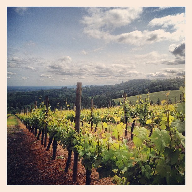 Harvey Creek TrailHiking · ~13 min drivePhoto: amy.z, CC BY 2.0 (via Flickr)
 Pennisula TrailHiking · ~15 min drivePhoto: Ian Poellet (User:Werewombat), CC BY-SA 3.0 (via Wikimedia Commons)
Best time to visit Town Site Trail
Best months: June–September. Best months have typical highs of 55–85 °F, lows of 30 °F or warmer (32 °F where the station doesn't record snow), at most one snowy day and no more than 12 wet days.
Jan
48° / 36°
20 wet
Feb
52° / 37°
17 wet
Mar
57° / 39°
19 wet
Apr
62° / 43°
17 wet
May
69° / 48°
13 wet
Jun
74° / 52°
8 wet
Jul
83° / 56°
4 wet
Aug
83° / 56°
4 wet
Sep
77° / 52°
8 wet
Oct
64° / 45°
15 wet
Nov
54° / 40°
19 wet
Dec
48° / 36°
21 wet
Typical high / low (°F) and days with rain or snow, 1991–2020. Measured at Aurora State Ap, OR, 5.5 mi away at 196 ft. This station doesn't record snowfall. Source: NOAA NCEI U.S. Climate Normals 1991–2020.
Map and trail data © OpenStreetMap contributors
