Peregrination
 Photo: Forest Service Pacific Northwest Region, Public Domain Mark (via Flickr)
- 3.7 mi
- round trip
- 650 ft
- climb
- 716 ft
- high point
- Out and back
- route
- Apr–Oct
- best months
Is Peregrination open right now?
Alert in the area
The Forest Service lists an alert for Columbia River Gorge National Scenic Area.
Eagle Creek Fire Area Closure - CRGNSA and Mt. Hood
Agency alert covering Columbia River Gorge National Scenic Area · Order 06-22-01-26-04 · USFS · Columbia River Gorge National Scenic Area
As of · Source: USFS · Columbia River Gorge National Scenic Area. Agencies don't list every closure — check before you go.
Peregrination is a 3.7-mile out-and-back hike in the Columbia River Gorge National Scenic Area in Oregon, managed by the Forest Service. The trail starts at about 400 feet and climbs to a high point of 716 feet, with a total gain of 650 feet over the course of the round trip. The steepest stretch comes at about 1.6 miles in, where the grade reaches 14 percent. Summer is the most comfortable time to go. Typical averages from a nearby weather station in Cascade Locks show July highs around 80°F and lows near 56°F, while winter highs sit in the low 40s. That station sits well below the trail, so temperatures on the higher parts of the route run cooler. Talus Ridge and Diluvian Loop are both within a third of a mile, and Wyeth Campground is about 3 miles away. Climbers can head to the Portland & The Gorge area, also about 3 miles off.
Local outfitters
- Bike the Gorge3 mi away
- Horseback Riding Adventures Oregon37 mi away
Not on Roamze yet. Their page has how to reach them.
Best time to go · Apr–Oct
Best time to visit Peregrination
Best months: April–October. Best months have typical highs of 55–85 °F, lows of 30 °F or warmer (32 °F where the station doesn't record snow), at most one snowy day and no more than 12 wet days.
Jan
42° / 33°
Feb
48° / 34°
Mar
54° / 36°
Apr
61° / 41°
May
68° / 47°
Jun
73° / 52°
Jul
80° / 56°
Aug
82° / 57°
Sep
76° / 51°
Oct
63° / 45°
Nov
50° / 39°
Dec
43° / 33°
Typical high / low (°F) and days with rain or snow, 1991–2020. Measured at Cascade Locks, OR, 2.1 mi away at 142 ft. The station sits about 600 ft lower than this place, so expect it a little cooler here. This station doesn't record snowfall. Source: NOAA NCEI U.S. Climate Normals 1991–2020.
Keep exploring — more trails worth the drive
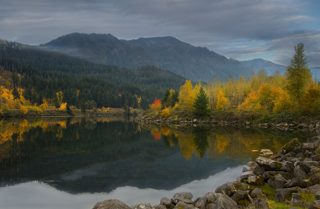 Photo: Bonnie Moreland (free images), Public Domain Mark (via Flickr)
Talus Ridge
Next door
1.90-mile out-and-back trail in Oregon with 847 ft elevation gain
Photo: Bonnie Moreland (free images), Public Domain Mark (via Flickr)Diluvian Loop
Next door
1.20-mile loop in Oregon with 351 ft elevation gain/loss.
Photo: Forest Service Pacific Northwest Region, Public Domain Mark (via Flickr)Gorton Creek
Next door
8.90-mile out-and-back trail in Oregon with 4,207 ft elevation gain.
 Photo: inkknife_2000 (7.5 million views +), CC BY-SA 2.0 (via Wikimedia Commons)
Pct - Washington Section H
~6 min drive
Pct - Washington Section H is a 144.23-mile point-to-point trail in Oregon.
 Photo: Robert Ashworth from Bellingham, WA., USA, CC BY 2.0 (via Wikimedia Commons)
Wind Mountain Trail
~7 min drive
2.2-mile out-and-back hike in Washington with 2,305 ft gain.
 Photo: mjfmjfmjf, CC BY 2.0 (via Flickr)
Diluvian Tie
Next door
0.62-mile out-and-back trail in Oregon with 50 ft of elevation gain.
 Photo: U.S. Forest Service- Pacific Northwest Region, Public domain (via Wikimedia Commons)
Herman Creek
~2 min drive
Scenic out-and-back climb along Herman Creek in the Columbia River Gorge.
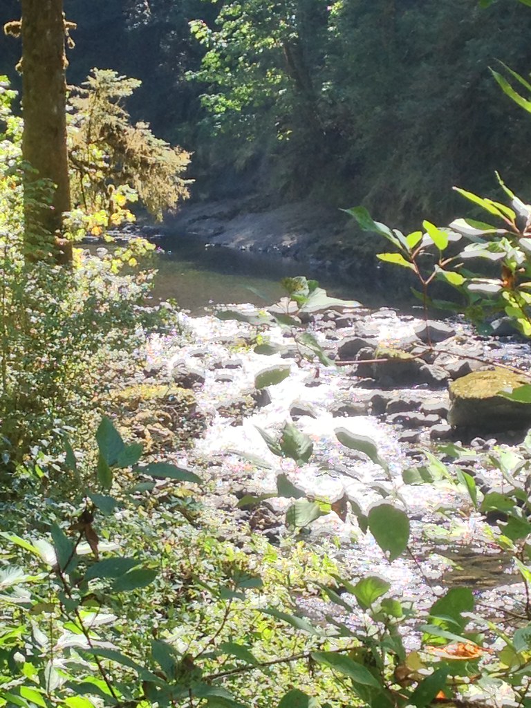 Photo: Fotos_Ohio, CC BY 2.0 (via Flickr)
Ruckel Creek
~9 min drive
4.95-mile out-and-back trail in Oregon with 4,348 ft elevation gain.
Photo: inkknife_2000 (7.5 million views +), CC BY-SA 2.0 (via Wikimedia Commons)Gorge Trail
~6 min drive
9.14-mile point-to-point trail in Oregon with 3,084 ft gain.
Photo: Bonnie Moreland (free images), Public Domain Mark (via Flickr)Pandion Drift
~1 min drive
0.72-mile out-and-back trail in Oregon with 122 ft of elevation gain.
