Gorton Creek
 Photo: Forest Service Pacific Northwest Region, Public Domain Mark (via Flickr)
- 8.9 mi
- round trip
- 4,661 ft
- climb
- 4,716 ft
- high point
- Out and back
- route
Is Gorton Creek open right now?
Alert in the area
The Forest Service lists an alert for Columbia River Gorge National Scenic Area.
Eagle Creek Fire Area Closure - CRGNSA and Mt. Hood
Agency alert covering Columbia River Gorge National Scenic Area · Order 06-22-01-26-04 · USFS · Columbia River Gorge National Scenic Area
As of · Source: USFS · Columbia River Gorge National Scenic Area. Agencies don't list every closure — check before you go.
Gorton Creek is a hard hike in Oregon's Columbia River Gorge National Scenic Area, managed by the Forest Service. The route is an out-and-back that covers about 17.8 miles, with a total elevation gain of 4,661 feet. The trail starts at roughly 3,668 feet and climbs to a high point of 4,716 feet before descending back to the starting elevation. The climb is steep, and the route is long, so plan on about 8.5 hours for the round trip. The trail is natural-surfaced, and the high point sits well above the starting elevation. Several other destinations lie close by. Peregrination and Herman Bridge are both within a mile, Wyeth Campground is about 2.8 miles away, and the Portland & The Gorge climbing area is about 2.9 miles off.
Local outfitters
- Bike the Gorge3 mi away
- Horseback Riding Adventures Oregon37 mi away
Not on Roamze yet. Their page has how to reach them.
Keep exploring — more trails worth the drive
Photo: Forest Service Pacific Northwest Region, Public Domain Mark (via Flickr)Peregrination
Next door
3.72-mile out-and-back trail in Oregon with 518 ft gain
Photo: Forest Service Pacific Northwest Region, Public Domain Mark (via Flickr)Buteo Drop
~1 min drive
1.56-mile out-and-back trail in Oregon with 256 ft elevation gain.
 Photo: U.S. Forest Service- Pacific Northwest Region, Public domain (via Wikimedia Commons)
Herman Creek
~1 min drive
Scenic out-and-back climb along Herman Creek in the Columbia River Gorge.
 Photo: inkknife_2000 (7.5 million views +), CC BY-SA 2.0 (via Wikimedia Commons)
Pct - Washington Section H
~6 min drive
Pct - Washington Section H is a 144.23-mile point-to-point trail in Oregon.
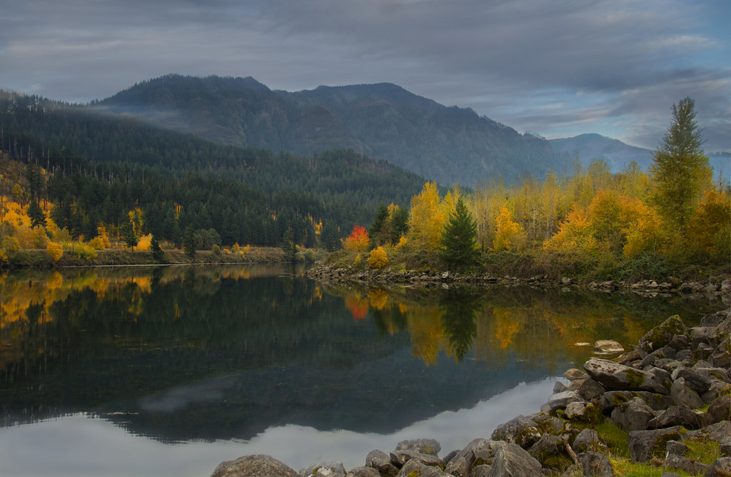 Photo: Bonnie Moreland (free images), Public Domain Mark (via Flickr)
Talus Ridge
~1 min drive
1.90-mile out-and-back trail in Oregon with 847 ft elevation gain
Photo: Bonnie Moreland (free images), Public Domain Mark (via Flickr)Diluvian Loop
~1 min drive
1.20-mile loop in Oregon with 351 ft elevation gain/loss.
Photo: U.S. Forest Service- Pacific Northwest Region, Public domain (via Wikimedia Commons)Nick Eaton
~2 min drive
8.20-mile out-and-back trail in Oregon with 3,412 ft elevation gain.
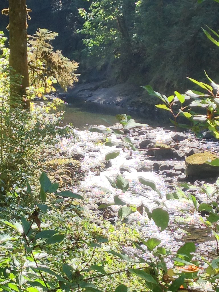 Photo: Fotos_Ohio, CC BY 2.0 (via Flickr)
Ruckel Creek
~8 min drive
4.95-mile out-and-back trail in Oregon with 4,348 ft elevation gain.
Photo: inkknife_2000 (7.5 million views +), CC BY-SA 2.0 (via Wikimedia Commons)Gorge Trail
~6 min drive
9.14-mile point-to-point trail in Oregon with 3,084 ft gain.
Photo: Bonnie Moreland (free images), Public Domain Mark (via Flickr)Pandion Drift
~1 min drive
0.72-mile out-and-back trail in Oregon with 122 ft of elevation gain.
Also worth it near here
Route details
- Distance
- 8.9 mi round trip
- Climbing
- About 4,661 ft
- Summit
- 4,719 ft
- Difficulty
- Hard
- Time
- About 5 hours
Questions about this route
How long is the Gorton Creek on Green Point Mountain?
About 8.9 mi round trip.
How much elevation gain is on the Gorton Creek?
About 4,661 ft of climbing round trip.
How hard is the Gorton Creek?
It is rated hard.
How long does the Gorton Creek take?
About 5 hours round trip.
Conditions and forecast on Green Point Mountain
Daily highs and lows, wind and the chance of precipitation at the summit and route start for the next 7 days, from the Open-Meteo model.
