Pawn
- 1.2 mi
- round trip
- 787 ft
- climb
- 308 ft
- high point
- Out and back
- route
- Feb–Nov
- best months
Is Pawn open right now?
Closure in the area
There's a closure order in Siuslaw National Forest. It doesn't name Pawn, so check the source for the area it covers.
Homestead Trailhead Closure
Agency closure covering Siuslaw National Forest · Order 06-12-10-26-11 · USFS · Siuslaw National Forest
Sutton Lake Boat Ramp Closure
Agency alert covering Siuslaw National Forest · Order 06-12-10-26-07 · USFS · Siuslaw National Forest
As of · Source: USFS · Siuslaw National Forest. Agencies don't list every closure — check before you go.
Pawn is an easy, out-and-back hike in Oregon's Siuslaw National Forest, within the Central Coast Ranger District-ODNRA. The trail is about 1.2 miles long, with a total elevation gain of 188 feet, and it starts at the Pawn Trailhead, which is open year-round. The trail is a short walk of natural surface, and bikes are allowed. It is not an accessible trail. Summer is the most comfortable time to visit. Typical averages from a nearby weather station in Mapleton show July and August highs around 80°F with lows near 54°F, while winter highs sit in the low 50s. North Fork Siuslaw Campground and the North Fork Siuslaw River are both about 2 miles away. Pioneers Hill Trail is roughly 3.7 miles off, and Enchanted Valley is about 8 miles away.
Local outfitters
- Handy Haven RV Park22 mi away
- All Depth Charters36 mi away
Not on Roamze yet. Their page has how to reach them.
Best time to go · Feb–Nov
Best time to visit Pawn
Best months: February–November. Best months have typical highs of 55–85 °F, lows of 30 °F or warmer (32 °F where the station doesn't record snow), at most one snowy day and no more than 12 wet days.
Jan
52° / 41°
Feb
55° / 41°
Mar
58° / 42°
Apr
62° / 44°
May
68° / 48°
Jun
73° / 51°
Jul
80° / 54°
Aug
80° / 54°
Sep
77° / 51°
Oct
66° / 47°
Nov
56° / 44°
Dec
50° / 40°
Typical high / low (°F) and days with rain or snow, 1991–2020. Measured at Mapleton, OR, 6.7 mi away at 17 ft. This station doesn't record snowfall. Source: NOAA NCEI U.S. Climate Normals 1991–2020.
Keep exploring — more trails worth the drive
 Photo: Barbara Ann Spengler from Arizona & Florida, USA, CC BY 2.0 (via Wikimedia Commons)
Blue Horizon Trail
~17 min drive
1.6-mile out-and-back trail in Oregon with 674 ft elevation gain and 1,132 ft max elevation.
 Photo: lather head, CC BY 2.0 (via Flickr)
Scurvy Ridge (Cape Mtn. Trail)
~17 min drive
4.94-mile out-and-back hike to Scurvy Ridge in Oregon with 737 ft gain.
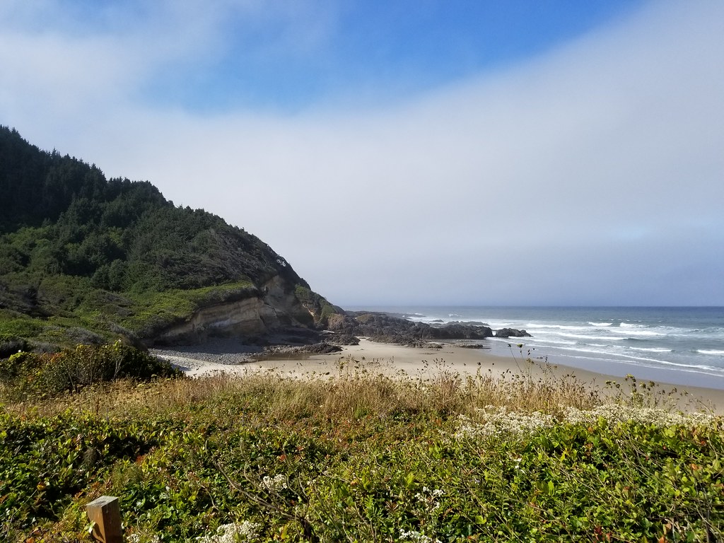 Photo: douaireg, CC BY-SA 2.0 (via Flickr)
Cummins Ridge
~22 min drive
12.20-mile out-and-back trail in Oregon with 2,682 ft elevation gain.
Photo: lather head, CC BY 2.0 (via Flickr)BLUE HORIZON (CAPE MTN. TRAIL)
~17 min drive
1.28-mile out-and-back trail in Oregon with 483 ft elevation gain and loss.
 Photo: Roger Sylvia, CC BY-SA 3.0 (via Wikimedia Commons)
Cummins Creek Loop Trail
~22 min drive
3-mile out-and-back out-and-back hike in Oregon with 1,002 ft gain.
Photo: douaireg, CC BY-SA 2.0 (via Flickr)Cummins Creek
~23 min drive
6.63-mile out-and-back trail in Oregon with 2,937 ft elevation gain.
 Photo: Kris Arnold from New York, USA, CC BY-SA 2.0 (via Wikimedia Commons)
Alder Lake Trail
~18 min drive
1.26-mile loop trail in Oregon with 151 ft gain.
 Photo: Sheila Sund from Salem, United States, CC BY 2.0 (via Wikimedia Commons)
Cooks Ridge
~24 min drive
4.96-mile out-and-back trail on a ridge in Oregon with 1,511 ft gain
 Photo: Aleksandr Zykov, CC BY-SA 2.0 (via Flickr)
Discovery Loop
~25 min drive
2.04-mile out-and-back trail in Oregon with 1,125 ft elevation gain.
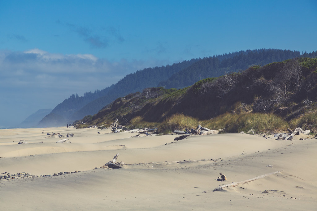 Photo: Tony Webster, CC BY 2.0 (via Flickr)
Valley Trail
~18 min drive
2.88-mile out-and-back trail in Oregon with 630 ft elevation gain


