Burnt Lake campsite #5
Campground
Campground · 2.5 mi from the trail
 Photo: inkknife_2000 (7.5 million views +), CC BY-SA 2.0 (via Wikimedia Commons)
Alert in the area
The Forest Service lists 4 alerts for Zigzag Ranger District.
Tamarack Quarry closed beginning Sept. 1
Agency alert covering Zigzag Ranger District · Order 06-06-09-26-12 · USFS · Zigzag Ranger District
Eagle Creek Fire Area Closures
Agency alert covering Mt. Hood National Forest · Order 06-22-01-26-04 · USFS · Mt. Hood National Forest
FR 4613 road damage- use caution
Agency alert covering Mt. Hood National Forest · USFS · Mt. Hood National Forest
Crane Creek bridge closed on the Barlow Road
Agency alert covering Mt. Hood National Forest · USFS · Mt. Hood National Forest
As of · Source: USFS · Zigzag Ranger District. Agencies don't list every closure — check before you go.
Paradise Park Loop is a 4.8-mile out-and-back hike in the Mount Hood Wilderness, part of the Zigzag Ranger District of Mt. Hood National Forest in Oregon. The Forest Service manages the land, and the trail is a natural-surface route with a moderate difficulty rating. The loop starts at about 5,445 feet and climbs to a high point of 5,795 feet, with a total elevation gain of 2,285 feet for the round trip. The steepest stretch comes at about 1.8 miles in, where the grade reaches 22 percent. For a longer outing, Paradise Park Trail #778 lies about 1.2 miles away, and the Timberline hike is about 2 miles off. Alpine Campground, about 3.6 miles away, offers a place to stay, and the Sandy River, roughly 3.5 miles away, is an option for paddling.
Burnt Lake campsite #5
Campground
 If it rainsJmasterson, CC BY-SA 3.0 · Wikimedia Commons
Western Antique Aeroplane & Automobile Museum
Museum
Aviation and automobile museum in Oregon, United States
Places © OpenStreetMap contributors · Photos: Jmasterson, CC BY-SA 3.0 (commons)
More in Mount Hood VillagesNot on Roamze yet. Their page has how to reach them.
 Photo: U.S. Forest Service- Pacific Northwest Region, Public domain (via Wikimedia Commons)
Paradise Park Trail #778
~2 min drive
6.33-mile out-and-back trail in Oregon with 814 ft gain.
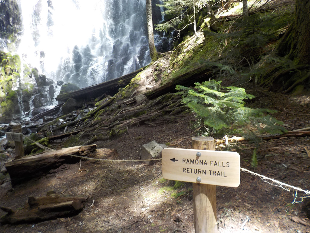 Photo: Forest Service Pacific Northwest Region, Public Domain Mark (via Flickr)
Mt. Hood Timberline Trail
~3 min drive
29.19-mile point-to-point trail on Mount Hood with 5,243 ft gain.
 Photo: inkknife_2000 (7.5 million views +), CC BY-SA 2.0 (via Wikimedia Commons)
Mcneil Point Scramble Trail
~4 min drive
0.34-mile out-and-back scramble with 626 ft elevation loss in Oregon.
 Photo: U.S. Forest Service- Pacific Northwest Region, Public domain (via Wikimedia Commons)
Cast Creek Trail #773
~6 min drive
10-mile out-and-back trail in Oregon with 3,826 ft elevation gain and loss.
Photo: inkknife_2000 (7.5 million views +), CC BY-SA 2.0 (via Wikimedia Commons)Mazama Trail #625
~5 min drive
3.65-mile out-and-back trail in Oregon with 537 ft gain.
Photo: Forest Service Pacific Northwest Region, Public Domain Mark (via Flickr)Ramona Falls
~5 min drive
3.5-mile out-and-back to Ramona Falls in Oregon with 643 ft gain
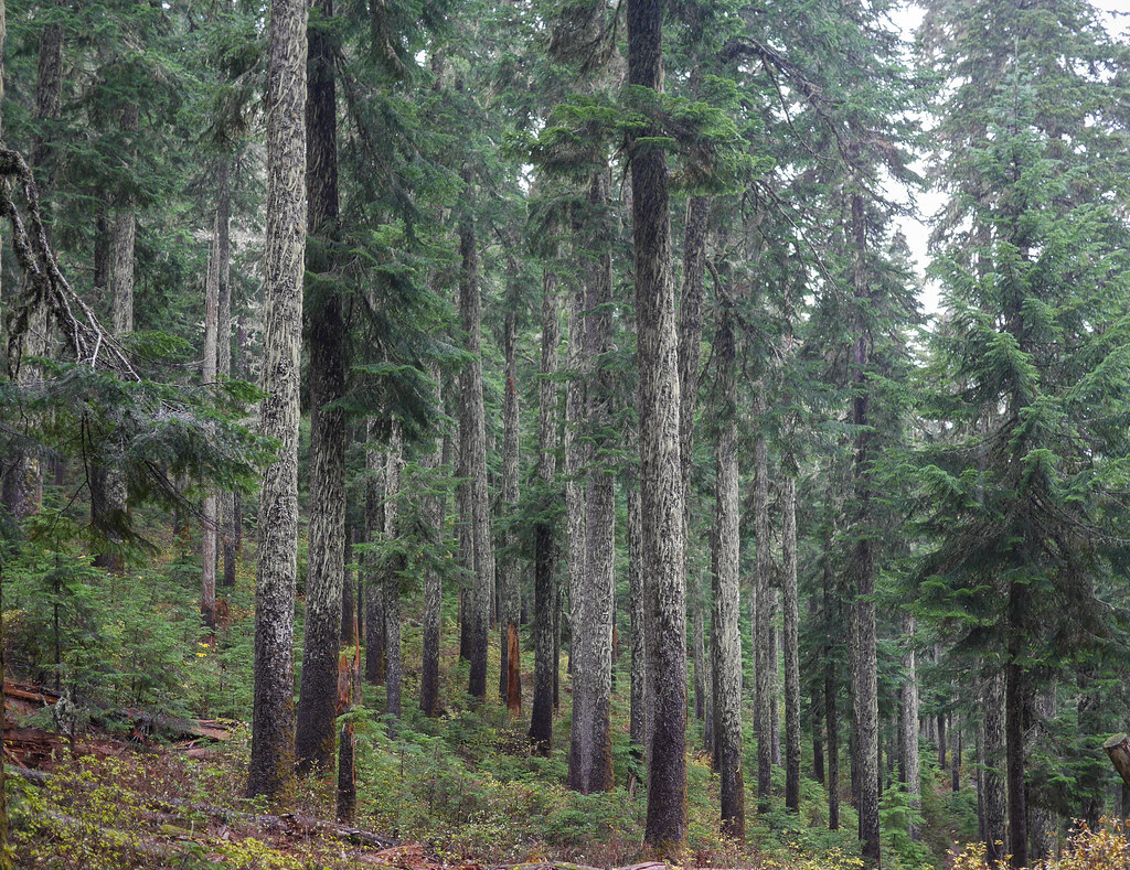 Photo: GRI SHA, CC BY-SA 2.0 (via Flickr)
Mcgee Creek Trail #627
~5 min drive
Mcgee Creek Trail #627 is a 1.42-mile out-and-back trail in Oregon with 66 feet of elevation gain.
 Photo: LukeDetwiler, CC BY 2.0 (via Flickr)
BURNT LAKE NORTH
~6 min drive
8.94-mile out-and-back trail in Oregon with 2,666 ft elevation gain and loss.
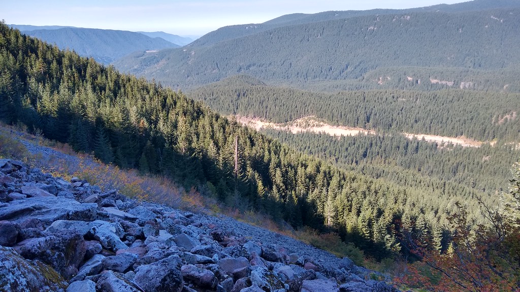 Photo: mjfmjfmjf, CC BY 2.0 (via Flickr)
Hidden Lake Trail #779
~7 min drive
8.38-mile out-and-back hike to Hidden Lake in Oregon with 2,744 ft elevation gain.
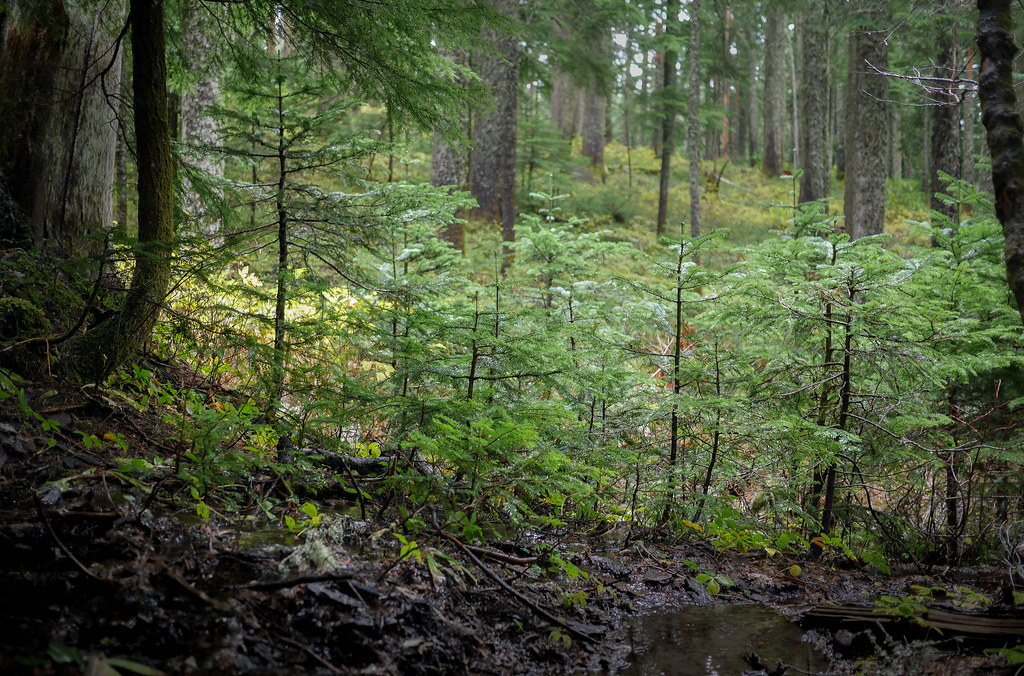 Photo: GRI SHA, CC BY-SA 2.0 (via Flickr)
Top Spur Trail #785
~6 min drive
0.46-mile out-and-back trail in Oregon with 83 ft gain.
Also worth it near here


