Oregon Desert Trail
- 2.1 mi
- round trip
- 941 ft
- climb
- 5,227 ft
- high point
- Out and back
- route
- May–Jun, Sep–Oct
- best months
The Oregon Desert Trail is a 4.2-mile out-and-back hike on Bureau of Land Management land in the Lakeview District Lakeview Field Office, about 2 miles from Lakeview, Oregon. The trail starts at 5,227 feet and reaches a high point of 5,227 feet, so the route is essentially a loop with a middle climb. The total gain is 941 feet, and the steepest stretch comes at about 2 miles in, with a grade of 26 percent. The most comfortable months are typically late spring and early fall. Typical averages from a nearby weather station at Summer Lake show May highs around 70°F and September highs around 81°F, while July and August average about 90°F. That station sits roughly 1,000 feet lower than the trail, so temperatures on the trail run cooler. Nearby, the Lakeview District Lakeview Field Office manages the surrounding land, and the town of Lakeview offers services for planning a trip.
Local outfitters
- Valley View RV Park13 mi away
Not on Roamze yet. Their page has how to reach them.
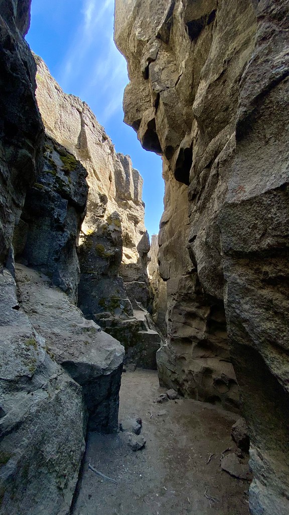 Crack in the Ground TrailHiking · ~28 min drivePhoto: lamblukas, CC BY 2.0 (via Flickr)
 Dead Cow TrailHiking · ~1h 5m drivePhoto: U.S. Forest Service- Pacific Northwest Region, Public domain (via Wikimedia Commons)
- Lakes LoopHiking · ~1h 6m drivePhoto: U.S. Forest Service- Pacific Northwest Region, Public domain (via Wikimedia Commons)
- Fremont NrtHiking · ~1h 8m drive
 Oc&E Woods Line State TrailHiking · ~49 min drivePhoto: U.S. Forest Service- Pacific Northwest Region, Public domain (via Wikimedia Commons)
- Hanan-Bear Creek IntertieHiking · ~55 min drive
- Bluebuck TrailHiking · ~59 min drive
- Boulder SpringsHiking · ~1h 17m drive
- Lakes Loop TieHiking · ~1h 7m drivePhoto: U.S. Forest Service- Pacific Northwest Region, Public domain (via Wikimedia Commons)
- SpurHiking · ~1h 5m drive
Best time to visit Oregon Desert Trail
Best months: May–June and September–October. Best months have typical highs of 55–85 °F, lows of 30 °F or warmer (32 °F where the station doesn't record snow), at most one snowy day and no more than 12 wet days.
Jan
44° / 22°
12 wet
Feb
47° / 23°
11 wet
Mar
54° / 27°
12 wet
Apr
60° / 31°
12 wet
May
70° / 37°
11 wet
Jun
79° / 43°
7 wet
Jul
90° / 49°
4 wet
Aug
89° / 47°
3 wet
Sep
81° / 40°
4 wet
Oct
66° / 32°
7 wet
Nov
51° / 26°
11 wet
Dec
43° / 21°
13 wet
Typical high / low (°F) and days with rain or snow, 1991–2020. Measured at Summer Lake 1 S, OR, 13.2 mi away at 4,192 ft. The station sits about 1,000 ft lower than this place, so expect it a little cooler here. This station doesn't record snowfall. Source: NOAA NCEI U.S. Climate Normals 1991–2020.

Map and trail data © OpenStreetMap contributors
