Bluebuck Trail
- 17.4 mi
- round trip
- 8,528 ft
- climb
- 7,510 ft
- high point
- Out and back
- route
- Jun–Sep
- best months
Is Bluebuck Trail open right now?
No closures listed
The Forest Service lists no closures for Fremont-Winema National Forest.
As of · Source: USFS · Fremont-Winema National Forest. Agencies don't list every closure — check before you go.
Bluebuck Trail is a hard, out-and-back hike in Oregon's Fremont-Winema National Forest, on the Silver Lake Ranger District. It covers 17.4 miles with an elevation gain of 1,165 feet, starting from a low point of about 6,432 feet and reaching a high of about 7,510 feet. The Forest Service manages the land, and the trail's natural surface and lack of accessibility make it a route for those prepared for the distance and elevation. Summer is the most comfortable time to go. Typical averages from a nearby weather station run to highs around 69°F in July and August, with only about four wet days a month. That station sits roughly 1,000 feet below the trail, so temperatures on the high route run cooler. The trail is open year-round. The closest neighbors are the Antler Loop Trail, about 3.3 miles away, and the Upper Buck Creek and Lower Buck Creek campgrounds, about 3.7 and 5 miles off. Paddlers can find Bear Creek about 7.2 miles away.
Local outfitters
- Valley View RV Park29 mi away
- Sky Lakes Wilderness Adventures42 mi away
Not on Roamze yet. Their page has how to reach them.
Best time to go · Jun–Sep
Best time to visit Bluebuck Trail
Best months: June–September. Best months have typical highs of 55–85 °F, lows of 30 °F or warmer (32 °F where the station doesn't record snow), at most one snowy day and no more than 12 wet days.
Jan
33° / 20°
18 wet
Feb
34° / 19°
17 wet
Mar
36° / 20°
18 wet
Apr
40° / 23°
16 wet
May
49° / 29°
12 wet
Jun
57° / 34°
7 wet
Jul
69° / 41°
4 wet
Aug
69° / 42°
4 wet
Sep
63° / 37°
6 wet
Oct
51° / 30°
10 wet
Nov
38° / 23°
16 wet
Dec
33° / 19°
18 wet
Typical high / low (°F) and days with rain or snow, 1991–2020. Measured at Crater Lake Nps Hq, OR, 43.8 mi away at 6,485 ft. The station sits about 1,000 ft lower than this place, so expect it a little cooler here. This station doesn't record snowfall. Source: NOAA NCEI U.S. Climate Normals 1991–2020.
Keep exploring — more trails worth the drive
 Photo: U.S. Forest Service- Pacific Northwest Region, Public domain (via Wikimedia Commons)
Oc&E Woods Line State Trail
~16 min drive
3.5-mile out-and-back trail in Oregon with 67 ft elevation gain and loss.
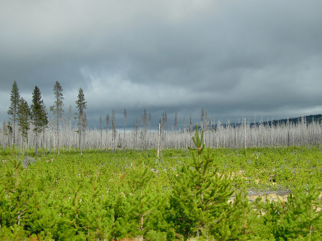 Photo: Juhele_CZ, Public Domain Dedication (CC0) (via Flickr)
PLAY LOOP
~53 min drive
9.9-mile out-and-back trail in Oregon with 546 ft gain/loss.
HIKE
Fremont Nrt
~11 min drive
Remote 125-mile point-to-point trail through Oregon's Fremont National Forest.
HIKE
MILLER LAKE RUN
~57 min drive
12.14-mile out-and-back trail in Oregon with 1,638 ft elevation gain and loss.
Photo: Juhele_CZ, Public Domain Dedication (CC0) (via Flickr)RUNNER LOOP
~52 min drive
0.89-mile loop with 80 ft gain and 87 ft loss in Oregon
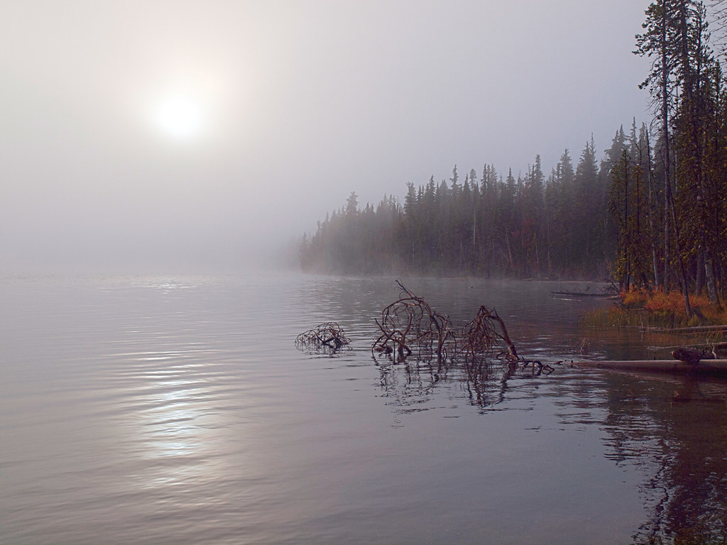 Photo: opiebreath, CC BY 2.0 (via Flickr)
Maidu Lake Trail
~1h 3m drive
5.60-mile out-and-back hike at Maidu Lake Trail in Oregon with 904 ft elevation gain.
HIKE
Dead Horse Rim
~1h 5m drive
25.26-mile out-and-back trail in Oregon with 2,289 ft elevation gain.
HIKE
Woods Line Rails to Trails
~60 min drive
39.40-mile out-and-back trail in Oregon with 1,090 ft elevation gain.
Photo: Juhele_CZ, Public Domain Dedication (CC0) (via Flickr)OUTER RUNNER LOOP
~52 min drive
0.90-mile loop in Oregon with 100 ft elevation gain
HIKE
Yamsay Ski Trail
~11 min drive
6.56-mile out-and-back ski trail in Oregon with 1,750 ft elevation gain


