Ainsworth Campground
Campground
Campground · 3.0 mi from the trail
 Photo: mjfmjfmjf, CC BY 2.0 (via Flickr)
Closure in the area
There's a closure order in Columbia River Gorge National Scenic Area. It doesn't name Multnomah Spur Trail #446, so check the source for the area it covers.
Eagle Creek Area and Trail Closure
Agency closure covering Columbia River Gorge National Scenic Area · Order 06-22-01-26-04 · USFS · Columbia River Gorge National Scenic Area
Eagle Creek Fire Area Closure - CRGNSA and Mt. Hood
Agency alert covering Columbia River Gorge National Scenic Area · Order 06-22-01-26-04 · USFS · Columbia River Gorge National Scenic Area
As of · Source: USFS · Columbia River Gorge National Scenic Area. Agencies don't list every closure — check before you go.
Multnomah Spur Trail #446 is a short, easy out-and-back hike in Oregon's Columbia River Gorge National Scenic Area, managed by the Forest Service. The trail is about 0.7 miles long, and the round trip covers roughly 1.5 miles with a total elevation gain of about 460 feet, peaking at 2,930 feet. The climb is rolling, and the steepest stretch comes early, around 0.09 miles from the start, with a grade of about 16%. The trail begins at 2,855 feet and ends at the same elevation, so you'll return to your starting point. The hike takes about half an hour, making it a quick addition to a day spent exploring the Gorge. Bell Creek is about 0.7 miles away, and Multnomah Creek Way is about 1.2 miles off. Oneonta Creek, a canoeing spot, is about 1.3 miles away. Rat Cave, a climbing area, is about 3.8 miles away.
Ainsworth Campground
Campground
Trailhead Taproom & Outdoor Store
Bar
 If it rainsIan Poellet, CC BY-SA 4.0 · Wikimedia Commons
Places © OpenStreetMap contributors · Photos: Ian Poellet, CC BY-SA 4.0 (commons)
More in Mount Hood VillagesNot on Roamze yet. Their page has how to reach them.
 Bell CreekHikingPhoto: Šarūnas Burdulis from USA, CC BY-SA 2.0 (via Wikimedia Commons)0.7 mi
 Multnomah Creek WayHikingPhoto: Šarūnas Burdulis, CC BY-SA 2.0 (via Wikimedia Commons)1.2 mi
 Bull Run RiverCanoeingPhoto: Finetooth, CC BY-SA 3.0 (via Wikimedia Commons)6.9 mi
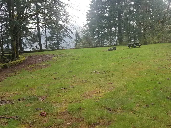 Eagle Creek Overlook Grp SiteCampingPhoto: Recreation.gov (RIDB) / public domain9.1 mi
Source: Roamze catalog (indexable pages within 10 miles, PostGIS distance)
Bell CreekHiking · ~1 min drivePhoto: Šarūnas Burdulis from USA, CC BY-SA 2.0 (via Wikimedia Commons)Multnomah Creek WayHiking · ~2 min drivePhoto: Šarūnas Burdulis, CC BY-SA 2.0 (via Wikimedia Commons) Cougar Rock TrailHiking · ~3 min drivePhoto: inkknife_2000 (7.5 million views +), CC BY-SA 2.0 (via Wikimedia Commons)
 Franklin RidgeHiking · ~2 min drivePhoto: inkknife_2000 (7.5 million views +), CC BY-SA 2.0 (via Wikimedia Commons)
 Horsetail CreekHiking · ~6 min drivePhoto: OregonDOT, CC BY 2.0 (via Flickr)Franklin Ridge Connector TrailHiking · ~3 min drivePhoto: inkknife_2000 (7.5 million views +), CC BY-SA 2.0 (via Wikimedia Commons)Larch MountainHiking · ~3 min drivePhoto: inkknife_2000 (7.5 million views +), CC BY-SA 2.0 (via Wikimedia Commons)
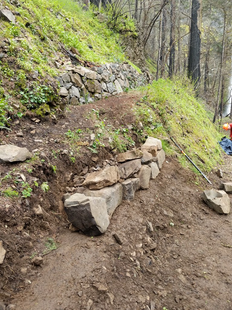 Nesmith PointHiking · ~9 min drivePhoto: Forest Service Pacific Northwest Region, Public Domain Mark (via Flickr)
 "Shovel" Bike Trail #1Hiking · ~3 min drivePhoto: mjfmjfmjf, CC BY 2.0 (via Flickr)
 Devils RestHiking · ~5 min drivePhoto: inkknife_2000 (7.5 million views +), CC BY-SA 2.0 (via Wikimedia Commons)
Map and trail data © OpenStreetMap contributors

