Ainsworth Campground
Campground
Campground · 2.3 mi from the trail
 Photo: OregonDOT, CC BY 2.0 (via Flickr)
Alert in the area
The Forest Service lists an alert for Columbia River Gorge National Scenic Area.
Eagle Creek Fire Area Closure - CRGNSA and Mt. Hood
Agency alert covering Columbia River Gorge National Scenic Area · Order 06-22-01-26-04 · USFS · Columbia River Gorge National Scenic Area
As of · Source: USFS · Columbia River Gorge National Scenic Area. Agencies don't list every closure — check before you go.
Horsetail Creek is a 10-mile out-and-back hike in Oregon's Columbia River Gorge National Scenic Area, managed by the Forest Service. The route starts at about 1,421 feet and climbs to a high point of 3,649 feet, with a total elevation gain of 5,220 feet for the round trip. That makes it a hard hike, and the steepest stretch comes around 4.3 miles in at a 33% grade. The trip takes about six hours. The climb is a major part of the challenge, so plan on time for both the ascent and the descent. Nesmith Point sits just 0.1 mile away, and Moffett Creek is 0.4 mile off. The Columbia Pearl climbing area and Oneonta Creek, a paddling spot, are both about 3 miles away.
Ainsworth Campground
Campground
Trailhead Taproom & Outdoor Store
Bar
 If it rainsIan Poellet, CC BY-SA 4.0 · Wikimedia Commons
Places © OpenStreetMap contributors · Photos: Ian Poellet, CC BY-SA 4.0 (commons)
More in Mount Hood VillagesNot on Roamze yet. Their page has how to reach them.
Photo: OregonDOT, CC BY 2.0 (via Flickr)Nesmith Point
Next door
2.20-mile out-and-back trail in Oregon with 3,480 ft gain.
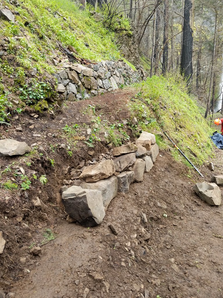 Photo: Forest Service Pacific Northwest Region, Public Domain Mark (via Flickr)
Nesmith Point
~3 min drive
7.84-mile out-and-back trail in Oregon with 3,388 ft gain.
 Photo: Ian Sane, CC BY 2.0 (via Flickr)
Upper McCord Creek Falls Trail
~3 min drive
1.22-mile out-and-back trail with 1,325 ft gain in Oregon.
Photo: OregonDOT, CC BY 2.0 (via Flickr)Moffett Creek
Next door
2.80-mile out-and-back trail in Oregon with 3,799 ft elevation gain.
 Photo: Robert Ashworth from Bellingham, WA., USA, CC BY 2.0 (via Wikimedia Commons)
Hamilton Mountain Trail
~7 min drive
4.6-mile out-and-back hike in Washington with 3,131 ft elevation gain and loss.
 Photo: Šarūnas Burdulis from USA, CC BY-SA 2.0 (via Wikimedia Commons)
Bell Creek
~6 min drive
4.88-mile out-and-back trail in Oregon with 621 ft elevation gain.
 Photo: mjfmjfmjf, CC BY 2.0 (via Flickr)
Doetsch Walking Path
~5 min drive
1.14-mile loop trail in Oregon with 189 ft elevation gain.
 Photo: Robert Ashworth from Bellingham, WA., USA, CC BY 2.0 (via Wikimedia Commons)
West Hardy Ridge Trail
~7 min drive
4.02-mile out-and-back hike in Washington with 3,052 ft gain and 2,552 ft max elevation.
 Photo: inkknife_2000 (7.5 million views +), CC BY-SA 2.0 (via Wikimedia Commons)
Franklin Ridge
~7 min drive
4.40-mile out-and-back trail in Oregon with 1,321 ft elevation gain.
 Photo: mjfmjfmjf, CC BY 2.0 (via Flickr)
Sams Walker Loop
~5 min drive
0.46-mile loop trail in Oregon, 0.46 miles, loop.

