Elk Cove Camp
Campground
Campground · 1.6 mi from the trail
 Photo: inkknife_2000 (7.5 million views +), CC BY-SA 2.0 (via Wikimedia Commons)
Caution today
Agency alerts are in effect for this area; weather is good · USFS, OpenWeather · checked 8 h ago
Alert in the area
The Forest Service lists 4 alerts for Hood River Ranger District.
Current fire closures on Mt. Hood National Forest
Agency alert covering Hood River Ranger District · USFS · Hood River Ranger District
Eagle Creek Fire Area Closures
Agency alert covering Mt. Hood National Forest · Order 06-22-01-26-04 · USFS · Mt. Hood National Forest
FR 4613 road damage- use caution
Agency alert covering Mt. Hood National Forest · USFS · Mt. Hood National Forest
Crane Creek bridge closed on the Barlow Road
Agency alert covering Mt. Hood National Forest · USFS · Mt. Hood National Forest
As of · Source: USFS · Hood River Ranger District. Agencies don't list every closure — check before you go.
McNeil Point is a hard hike in the Mount Hood Wilderness, part of the Hood River Ranger District of Mt. Hood National Forest in Oregon. The Forest Service manages the land, and the trail is natural-surfaced. The route is an out-and-back of about 1.8 miles, with a total climb of 808 feet and a high point of about 6,338 feet. The steepest stretch comes early, around 0.28 miles in, with a grade of about 22%. The trail starts at roughly 5,758 feet and reaches about 6,338 feet at the top. The climb is one way, so the round trip adds about 808 feet of descent. The Mazama Trail #625 lies about 0.2 miles away, and the Mcneil Point Scramble Trail is about half a mile off. For an overnight stay, Tilly Jane campground is about 3.8 miles away. Climbers can head to the Mt. Hood National Forest climbing area, about 3.6 miles away.
Elk Cove Camp
Campground
 If it rainsJmasterson, CC BY-SA 3.0 · Wikimedia Commons
Western Antique Aeroplane & Automobile Museum
Museum
Aviation and automobile museum in Oregon, United States
Places © OpenStreetMap contributors · Photos: Jmasterson, CC BY-SA 3.0 (commons)
More in Mount Hood VillagesNot on Roamze yet. Their page has how to reach them.
Photo: inkknife_2000 (7.5 million views +), CC BY-SA 2.0 (via Wikimedia Commons)Mazama Trail #625
Next door
3.65-mile out-and-back trail in Oregon with 537 ft gain.
Photo: inkknife_2000 (7.5 million views +), CC BY-SA 2.0 (via Wikimedia Commons)Mcneil Point Scramble Trail
Next door
0.34-mile out-and-back scramble with 626 ft elevation loss in Oregon.
 Photo: inkknife_2000 (7.5 million views +), CC BY-SA 2.0 (via Wikimedia Commons)
Dollar Lake
~2 min drive
0.40-mile out-and-back trail to Dollar Lake in Oregon with 219 ft gain.
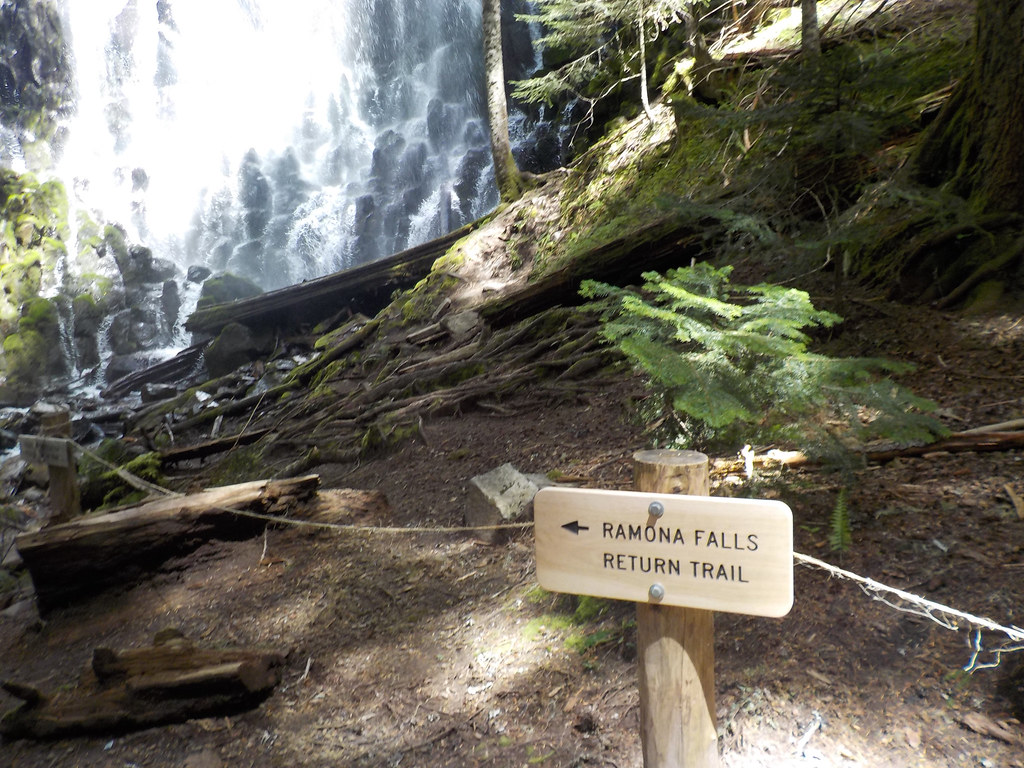 Photo: Forest Service Pacific Northwest Region, Public Domain Mark (via Flickr)
Yocum Ridge
~5 min drive
7.70-mile out-and-back trail on Yocum Ridge in Oregon with 2,982 ft gain
 Photo: inkknife_2000 (7.5 million views +), CC BY-SA 2.0 (via Wikimedia Commons)
Elk Cove Trail #631
~3 min drive
4.66-mile out-and-back trail in Oregon with 393 ft elevation gain.
 Photo: GRI SHA, CC BY-SA 2.0 (via Flickr)
Vista Ridge Trail #626
~2 min drive
2.48-mile out-and-back trail on a ridge in Oregon with 294 ft gain.
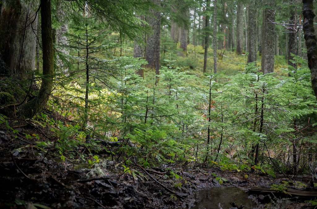 Photo: GRI SHA, CC BY-SA 2.0 (via Flickr)
Top Spur Trail #785
~4 min drive
0.46-mile out-and-back trail in Oregon with 83 ft gain.
 Photo: inkknife_2000 (7.5 million views +), CC BY-SA 2.0 (via Wikimedia Commons)
Cooper Spur Trail #600B
~6 min drive
2.56-mile out-and-back trail in Oregon with 2,864 ft elevation gain
 Photo: U.S. Forest Service- Pacific Northwest Region, Public domain (via Wikimedia Commons)
Paradise Park Trail #778
~7 min drive
6.33-mile out-and-back trail in Oregon with 814 ft gain.
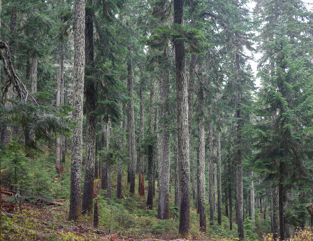 Photo: GRI SHA, CC BY-SA 2.0 (via Flickr)
Mcgee Creek Trail #627
~3 min drive
Mcgee Creek Trail #627 is a 1.42-mile out-and-back trail in Oregon with 66 feet of elevation gain.
Also worth it near here
 Photo: Howard Kang, CC BY-SA 2.0 (via Wikimedia Commons)
Ramona Falls
~5 min drive
BED
Creekside Campsite
~5 min drive
 Photo: U.S. Forest Service- Pacific Northwest Region, Public domain (via Wikimedia Commons)
PCT: Mt Hood
~6 min drive
 Photo: jared goss, CC BY-SA 3.0 (via Wikimedia Commons)
Mt. Hood National Forest
~6 min drive
