Line Butte Tie Trail #804A
- 3.1 mi
- round trip
- 1,193 ft
- climb
- 6,927 ft
- high point
- Out and back
- route
Is Line Butte Tie Trail #804A open right now?
Closure in the area
There's a closure order in Ochoco National Forest. It doesn't name Line Butte Tie Trail #804A, so check the source for the area it covers.
Rowe Creek Complex Emergency Closure Order
Agency closure covering Ochoco National Forest · Order 06-07-26-04 · USFS · Ochoco National Forest
Blue-Green Algae Information
Agency alert covering Ochoco National Forest · USFS · Ochoco National Forest
Prescribed Fire information
Agency alert covering Ochoco National Forest · USFS · Ochoco National Forest
As of · Source: USFS · Ochoco National Forest. Agencies don't list every closure — check before you go.
Line Butte Tie Trail #804A is a moderate out-and-back hike in Oregon's Ochoco National Forest, within the Lookout Mountain Ranger District. The trail is about 6 miles long, with a total elevation gain of roughly 1,200 feet, and it starts at about 6,900 feet, rising to a high point of about 6,900 feet before descending back to the trailhead. The route is a loop in shape, with the trailhead sitting at nearly the same elevation as the high point. That makes the climb a round trip of about 1,200 feet, and the hike takes roughly 2.5 hours to complete. Several other trails lie within about a mile of the trailhead, including the Lookout Mountain Trail, the Mother Lode Mine Trail #808A and the Independent Mine. For an overnight stay, Ochoco Forest Camp is about 5.5 miles away.
Keep exploring — more trails worth the drive
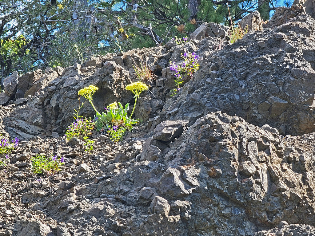 Photo: AndreyZharkikh, CC BY 2.0 (via Flickr)
Lookout Mountain Trail
~2 min drive
10.18-mile point-to-point trail in Oregon with 1,558 ft gain.
Photo: AndreyZharkikh, CC BY 2.0 (via Flickr)Independent Mine
~2 min drive
Historic 14.55-mile out-and-back mining trail in Oregon.
 Photo: U.S. Forest Service- Pacific Northwest Region, Public domain (via Wikimedia Commons)
Steins Pillar
~23 min drive
3.60-mile out-and-back trail in Oregon with 763 ft elevation gain
HIKE
Wildcat Trail
~19 min drive
8.48-mile out-and-back trail in Oregon with 1,975 ft elevation gain.
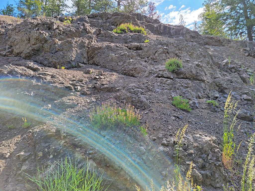 Photo: AndreyZharkikh, CC BY 2.0 (via Flickr)
Mother Lode Mine Trail #808A
~2 min drive
2.36-mile out-and-back trail in Oregon with 827 ft elevation gain and loss.
Photo: U.S. Forest Service- Pacific Northwest Region, Public domain (via Wikimedia Commons)Giddy-Up-Go
~27 min drive
7.17-mile loop in Oregon with 1,711 ft elevation gain and loss.
HIKE
Line Butte Tie
~4 min drive
5.40-mile out-and-back trail in Oregon with 877 ft elevation gain.
HIKE
Green Mountain Trail
~30 min drive
15.36-mile out-and-back trail in Oregon with 2,930 ft elevation gain and loss.
Photo: AndreyZharkikh, CC BY 2.0 (via Flickr)Baneberry
~2 min drive
1.58-mile out-and-back trail to Baneberry waterfall in Oregon.
HIKE
Round Mountain
~12 min drive
18-mile out-and-back trail in Oregon with 2,120 ft elevation gain.

Map and trail data © OpenStreetMap contributors
