Kinnikinnik Woods Trail
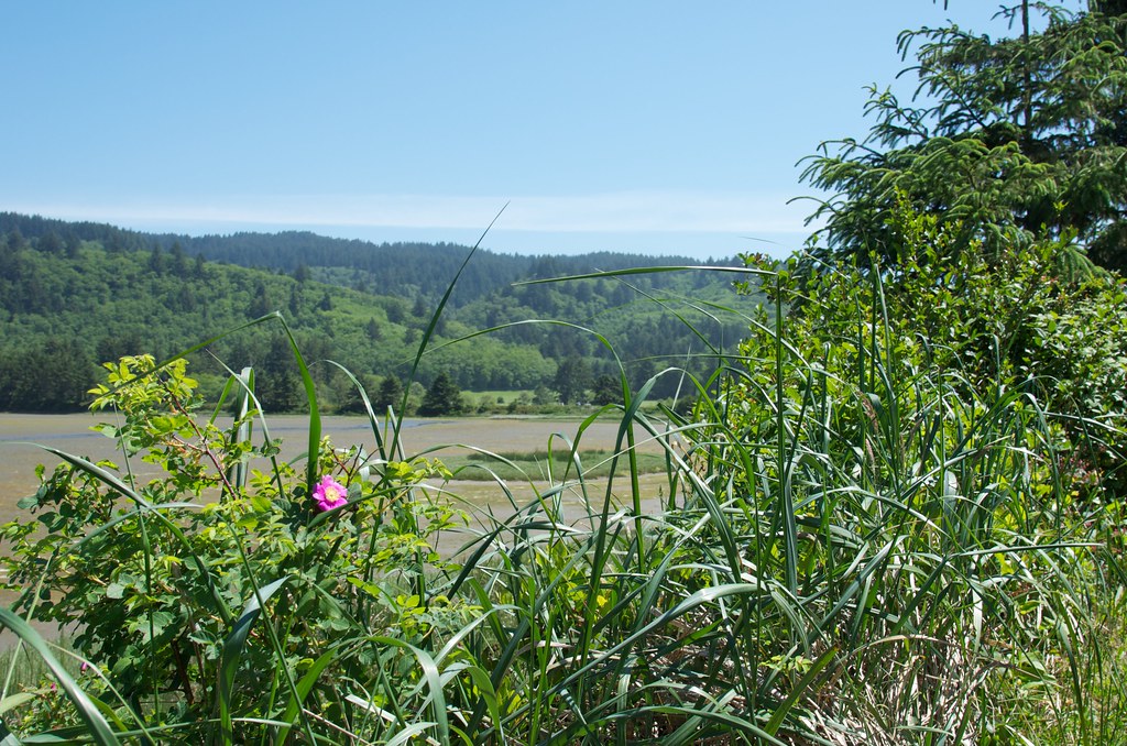 Photo: Sam Beebe, CC BY 2.0 (via Flickr)
- 1.0 mi
- loop
- 60 ft
- climb
- 41 ft
- high point
- Loop
- route
- May–Sep
- best months
Kinnikinnik Woods Trail is a short, easy loop of about a mile in Oregon's Clay Meyers State Natural Area, part of the Beltz Farm unit managed by State Park and Recreation. The trail rises from a low point of 18 feet to a high of 41 feet, with a total gain of 60 feet and a loss of 40 feet over the course of the loop. The climb is steady, and the steepest stretch comes at about 0.85 miles in, with a grade of about 2 percent. Summer is the most comfortable time to go. Typical averages from the nearby Cloverdale weather station show July and August highs around 69 to 70°F, with only about four wet days a month. Winter is cooler and wetter, with highs in the low 50s and rain on most days. The trail pairs easily with other outings in the area. Estuary View Trail starts just 0.1 mile away, and Whalen Island Loop is about 0.8 mile off. Sandbeach and West Winds campgrounds are both within about 1.4 miles.
Local outfitters
- Hart's Camp3 mi away
- Twin Creeks Beach and Trail Rides4 mi away
Not on Roamze yet. Their page has how to reach them.
- Estuary View TrailHikingPhoto: Sam Beebe, CC BY 2.0 (via Flickr)0.1 mi
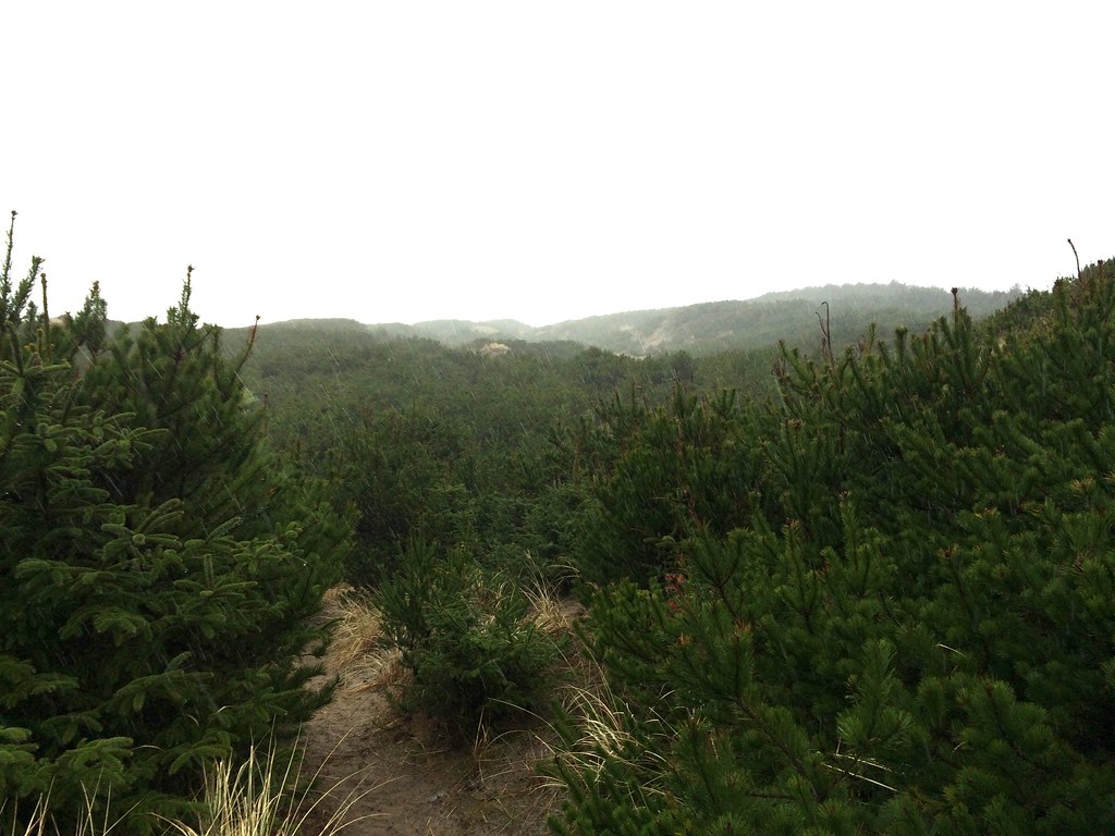 Whalen Island LoopHikingPhoto: Sam Beebe, CC BY 2.0 (via Flickr)0.8 mi
- SandbeachCamping1.3 mi
- West WindsCamping1.4 mi
- East Dunes CampgroundCamping1.5 mi
- Sand CreekCanoeing4.3 mi
 Marsh TrailHikingPhoto: Coreyleah, CC BY 3.0 (via Wikimedia Commons)5.2 mi
- West Beaver CreekCanoeing6.2 mi
Source: Roamze catalog (indexable pages within 10 miles, PostGIS distance)
- Estuary View TrailHiking · Next doorPhoto: Sam Beebe, CC BY 2.0 (via Flickr)
 Hart's CoveHiking · ~24 min drivePhoto: Leslie Seaton from Seattle, WA, USA, CC BY 2.0 (via Wikimedia Commons)
 Salmonberry TrailHiking · ~36 min drivePhoto: gary_leavens, CC BY-SA 2.0 (via Flickr)
- Cascade HeadHiking · ~24 min drive
- Whalen Island LoopHiking · ~1 min drivePhoto: Sam Beebe, CC BY 2.0 (via Flickr)
 Cape Meares Scenic TrailHiking · ~26 min drivePhoto: Roger Sylvia, CC BY-SA 3.0 (via Wikimedia Commons)
- Pioneer IndianHiking · ~15 min drive
- Marsh TrailHiking · ~9 min drivePhoto: Coreyleah, CC BY 3.0 (via Wikimedia Commons)
 Cascade Head TrailHiking · ~27 min drivePhoto: Art Anderson, CC BY-SA 3.0 (via Wikimedia Commons)
 Cape Lookout TrailHiking · ~9 min drivePhoto: S. Rae from Scotland, UK, CC BY 2.0 (via Wikimedia Commons)
Also worth it near here
Best time to visit Kinnikinnik Woods Trail
Best months: May–September. Best months have typical highs of 55–85 °F, lows of 30 °F or warmer (32 °F where the station doesn't record snow), at most one snowy day and no more than 12 wet days.
Jan
52° / 40°
18 wet
Feb
53° / 40°
16 wet
Mar
55° / 40°
18 wet
Apr
57° / 42°
16 wet
May
62° / 46°
12 wet
Jun
65° / 49°
8 wet
Jul
69° / 52°
4 wet
Aug
70° / 52°
4 wet
Sep
69° / 50°
8 wet
Oct
63° / 46°
13 wet
Nov
56° / 42°
17 wet
Dec
51° / 40°
19 wet
Typical high / low (°F) and days with rain or snow, 1991–2020. Measured at Cloverdale, OR, 5.5 mi away at 12 ft. Source: NOAA NCEI U.S. Climate Normals 1991–2020.


Map and trail data © OpenStreetMap contributors
