Horseshoe Ln (Cape Mtn. Trail)
- 2.4 mi
- round trip
- 629 ft
- climb
- 1,325 ft
- high point
- Out and back
- route
- Jun–Sep
- best months
Is Horseshoe Ln (Cape Mtn. Trail) open right now?
Closure in the area
There's a closure order in Siuslaw National Forest. It doesn't name Horseshoe Ln (Cape Mtn. Trail), so check the source for the area it covers.
Homestead Trailhead Closure
Agency closure covering Siuslaw National Forest · Order 06-12-10-26-11 · USFS · Siuslaw National Forest
Sutton Lake Boat Ramp Closure
Agency alert covering Siuslaw National Forest · Order 06-12-10-26-07 · USFS · Siuslaw National Forest
As of · Source: USFS · Siuslaw National Forest. Agencies don't list every closure — check before you go.
Horseshoe Ln (Cape Mtn. Trail) is a 2.4-mile out-and-back hike in the Central Coast Ranger District-ODNRA of Siuslaw National Forest in Oregon, managed by the Forest Service. The trail is rated easy, with a total climb of about 630 feet, and the steepest stretch comes at about 0.9 miles in, where the grade reaches about 11%. The trail is on natural surface, and both horses and bikes are allowed. That makes it a flexible option for riders and pack animals as well as hikers. Summer is the most comfortable time to go. Typical averages from a nearby weather station in Florence show July highs around 68°F with only about five wet days, while winter months bring highs in the upper 40s and rain on most days. That station sits well below the trail, so temperatures on the route run cooler. Berry Cr. (Cape Mtn. Trail) is just 0.2 miles away, and Princes Tasha (Cape Mtn. Trail) and Blue Horizon Trail are both within a mile. Baker Beach Campground, about 1.9 miles off, is the closest place to camp.
Local outfitters
- Handy Haven RV Park22 mi away
- All Depth Charters36 mi away
Not on Roamze yet. Their page has how to reach them.
Best time to go · Jun–Sep
Best time to visit Horseshoe Ln (Cape Mtn. Trail)
Best months: June–September. Best months have typical highs of 55–85 °F, lows of 30 °F or warmer (32 °F where the station doesn't record snow), at most one snowy day and no more than 12 wet days.
Jan
49° / 39°
21 wet
Feb
51° / 37°
19 wet
Mar
53° / 39°
22 wet
Apr
56° / 40°
18 wet
May
60° / 43°
14 wet
Jun
64° / 46°
10 wet
Jul
68° / 50°
5 wet
Aug
67° / 49°
6 wet
Sep
66° / 46°
10 wet
Oct
61° / 44°
16 wet
Nov
53° / 40°
19 wet
Dec
48° / 37°
21 wet
Typical high / low (°F) and days with rain or snow, 1991–2020. Measured at Florence #2, OR, 7.2 mi away at 75 ft. The station sits about 1,300 ft lower than this place, so expect it a little cooler here. This station doesn't record snowfall. Source: NOAA NCEI U.S. Climate Normals 1991–2020.
Keep exploring — more trails worth the drive
 Photo: Barbara Ann Spengler from Arizona & Florida, USA, CC BY 2.0 (via Wikimedia Commons)
Blue Horizon Trail
~1 min drive
1.6-mile out-and-back trail in Oregon with 674 ft elevation gain and 1,132 ft max elevation.
 Photo: lather head, CC BY 2.0 (via Flickr)
Scurvy Ridge (Cape Mtn. Trail)
~1 min drive
4.94-mile out-and-back hike to Scurvy Ridge in Oregon with 737 ft gain.
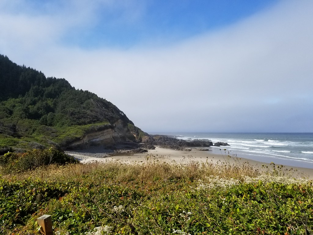 Photo: douaireg, CC BY-SA 2.0 (via Flickr)
Cummins Creek
~19 min drive
6.63-mile out-and-back trail in Oregon with 2,937 ft elevation gain.
Photo: lather head, CC BY 2.0 (via Flickr)BLUE HORIZON (CAPE MTN. TRAIL)
~1 min drive
1.28-mile out-and-back trail in Oregon with 483 ft elevation gain and loss.
 Photo: Kris Arnold from New York, USA, CC BY-SA 2.0 (via Wikimedia Commons)
Sutton Creek North
~6 min drive
3.02-mile out-and-back trail in Oregon with 199 ft gain.
 Photo: Aleksandr Zykov, CC BY-SA 2.0 (via Flickr)
Discovery Loop
~20 min drive
2.04-mile out-and-back trail in Oregon with 1,125 ft elevation gain.
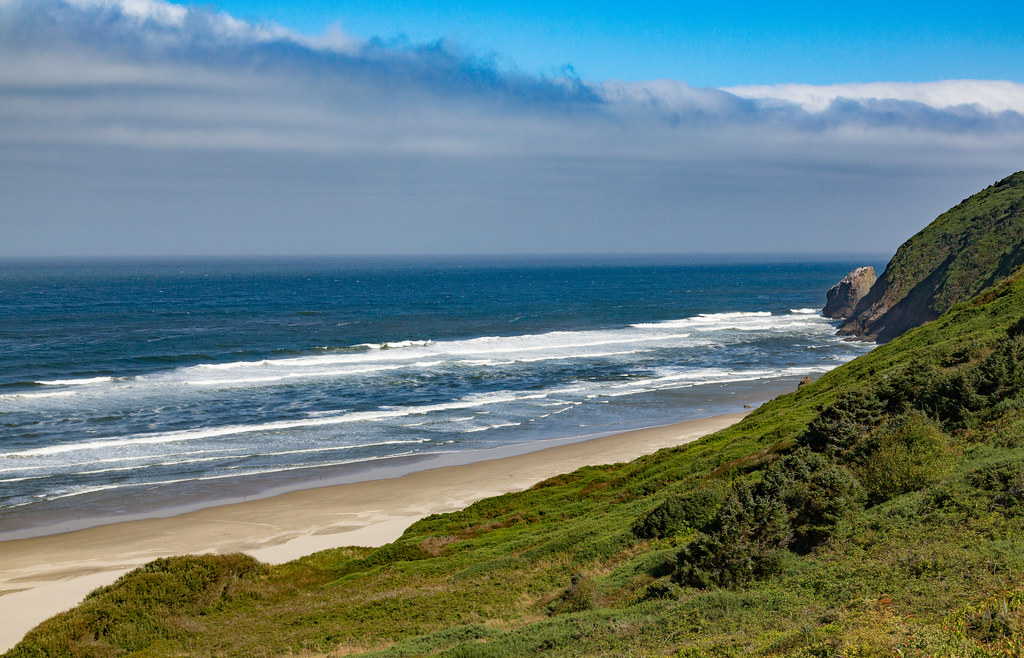 Photo: Tony Webster, CC BY 2.0 (via Flickr)
Berry Creek Loop Trail
~3 min drive
0.94-mile out-and-back trail in Oregon with 203 ft elevation gain.
 Photo: Roger Sylvia, CC BY-SA 3.0 (via Wikimedia Commons)
Cummins Creek Loop Trail
~19 min drive
3-mile out-and-back out-and-back hike in Oregon with 1,002 ft gain.
Photo: douaireg, CC BY-SA 2.0 (via Flickr)Cummins Ridge
~17 min drive
12.20-mile out-and-back trail in Oregon with 2,682 ft elevation gain.
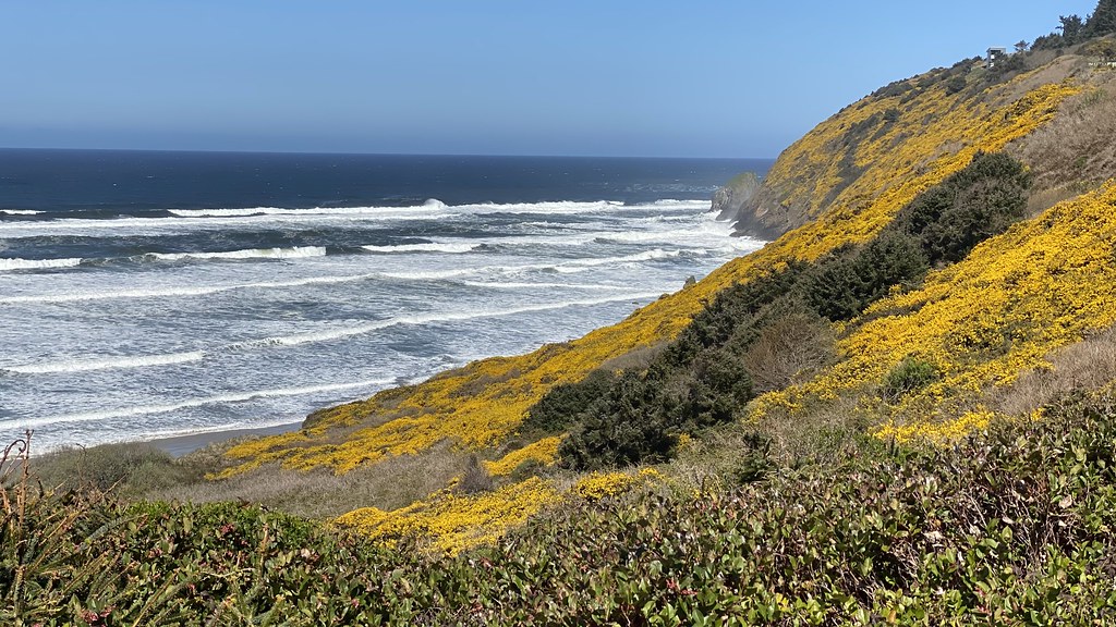 Photo: lamblukas, CC BY 2.0 (via Flickr)
Lilly Lake
~3 min drive
Easy out-and-back hike to a scenic alpine lake in the Oregon Cascades.


