Hehe Mountain
- 1.3 mi
- round trip
- 1,052 ft
- climb
- 4,050 ft
- high point
- Out and back
- route
Is Hehe Mountain open right now?
Closure in the area
There's a closure order in Willamette National Forest. It doesn't name Hehe Mountain, so check the source for the area it covers.
Cedar Creek Fire Closure
Agency closure covering Willamette National Forest · Order 06-18-10-26-04 · USFS · Willamette National Forest
FIRE CLOSURES: Current wildfire closures on the Willamette National Forest
Agency alert covering Willamette National Forest · USFS · Willamette National Forest
2026 Active Wildfire
Agency alert covering Middle Fork Ranger District · USFS · Middle Fork Ranger District
As of · Source: USFS · Willamette National Forest. Agencies don't list every closure — check before you go.
Hehe Mountain is a moderate, out-and-back hike in Oregon's Willamette National Forest, within the Middle Fork Ranger District. The trail is 1.3 miles long, with a round-trip elevation gain of about 1,050 feet, and it rises to a high point of 4,050 feet. The climb is steepest near the start, with a grade of about 35% at 0.31 miles. The route begins at about 4,044 feet and drops back to a low point of 3,546 feet, making it a short but reasonably steep outing. The Forest Service manages the land, and the trail is on natural surface. Bikes and horses are not allowed. Summer into early fall is the most comfortable time to go. The hike is typically open from June 1 to October 31, and the trip takes about an hour. Nearby, Quartz Creek offers canoeing about 2.4 miles away. Climbers can head to Walts Wall, about 4 miles off. Indian Ridge has another hike at about 4.1 miles, and Indian Ridge Lookout, a campground, sits about 5.1 miles away.
Local outfitters
- Patio RV Park13 mi away
- Horse Creek Lodge & Outfitters14 mi away
Not on Roamze yet. Their page has how to reach them.
Keep exploring — more trails worth the drive
 Photo: Kane5187, CC BY-SA 4.0 (via Wikimedia Commons)
Terwilliger Hot Springs Trail
~12 min drive
0.45-mile out-and-back hike to Terwilliger Hot Springs in Oregon.
 Photo: Robert Ashworth from Bellingham, WA., USA, CC BY 2.0 (via Wikimedia Commons)
Yankee Mountain Trail #3318
~12 min drive
2.48-mile out-and-back hike with 3,675 ft gain in Oregon
Photo: Kane5187, CC BY-SA 4.0 (via Wikimedia Commons)Walker Creek
~14 min drive
4.00-mile out-and-back trail in Oregon with 2,105 ft gain
Photo: Kane5187, CC BY-SA 4.0 (via Wikimedia Commons)Lowder Mountain Trail #3329
~14 min drive
19.84-mile out-and-back trail in Oregon with 6,757 ft elevation gain and loss.
 Photo: Robert Ashworth from Bellingham, WA., USA, CC BY 2.0 (via Wikimedia Commons)
Delta Old Growth Nature Trail #3317
~17 min drive
0.47-mile loop trail in Oregon with 135 ft gain and 170 ft loss.
 Photo: Robert Ashworth from Bellingham, WA., USA, CC BY 2.0 (via Wikimedia Commons)
O Leary Mountain
~16 min drive
18-mile out-and-back trail in Oregon with 4,258 ft gain.
Photo: Robert Ashworth from Bellingham, WA., USA, CC BY 2.0 (via Wikimedia Commons)Echo
~16 min drive
5.20-mile out-and-back trail in Oregon with 1,443 ft gain.
HIKE
WALKER CREEK
~16 min drive
8.7-mile out-and-back trail in Oregon with 5,675 ft elevation gain and loss.
 Photo: Northwest Rafting Company, CC BY 2.0 (via Flickr)
Huckleberry Flats ATV #105
~19 min drive
3.51-mile out-and-back trail in Oregon with 493 ft elevation gain.
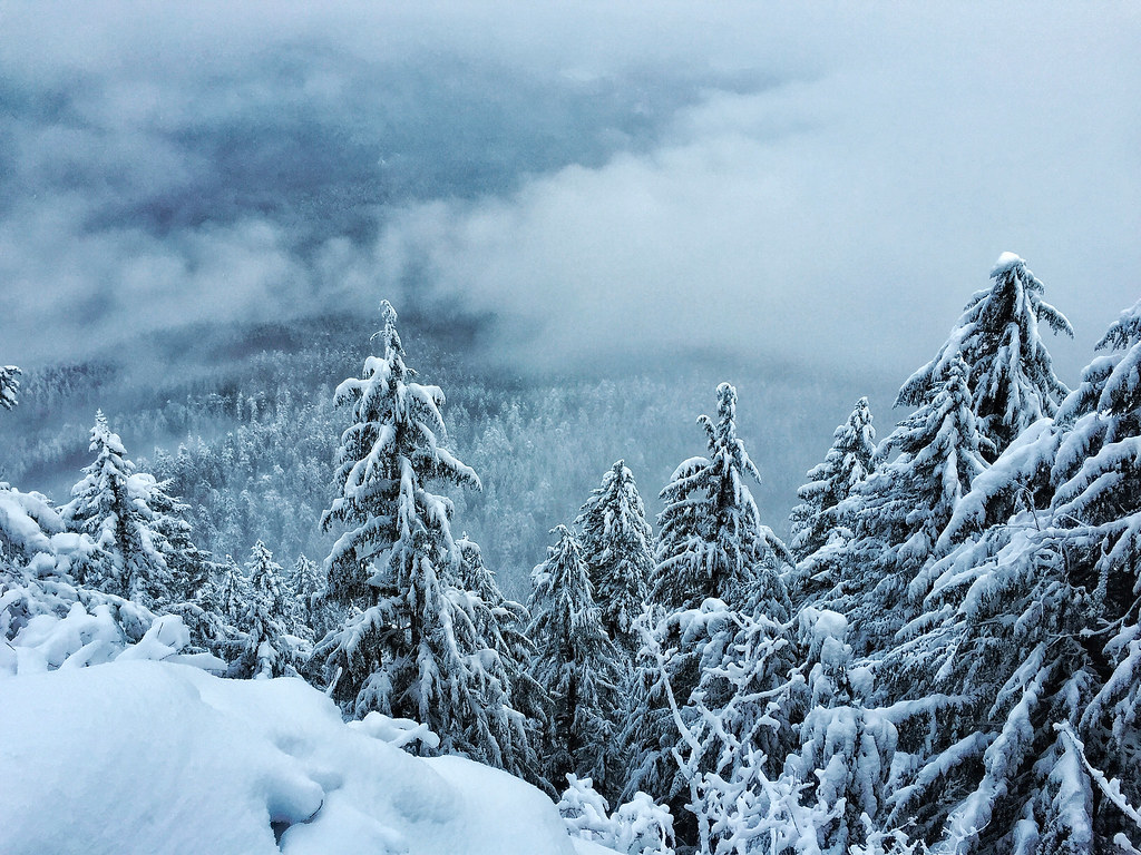 Photo: Forest Service Pacific Northwest Region, Public Domain Mark (via Flickr)
Castle Rock
~19 min drive
9.00-mile out-and-back trail in Oregon with 1,495 ft gain.

Route details
- Distance
- 1.3 mi round trip
- Climbing
- About 1,052 ft
- Summit
- 4,064 ft
- Difficulty
- Moderate
- Time
- About 0.5 hours
Questions about this route
How long is the Hehe Mountain on Hehe Mountain?
About 1.3 mi round trip.
How much elevation gain is on the Hehe Mountain?
About 1,052 ft of climbing round trip.
How hard is the Hehe Mountain?
It is rated moderate.
How long does the Hehe Mountain take?
About 0.5 hours round trip.
Conditions and forecast on Hehe Mountain
Daily highs and lows, wind and the chance of precipitation at the summit and route start for the next 7 days, from the Open-Meteo model.
