Hebo Lake Loop
- 0.5 mi
- round trip
- 149 ft
- climb
- 1,665 ft
- high point
- Out and back
- route
- Apr–Oct
- best months
Caution today
Agency alerts are in effect for this area; weather is good · USFS, OpenWeather · checked 5 h ago
Is Hebo Lake Loop open right now?
Closure in the area
There's a closure order in Hebo Ranger District. It doesn't name Hebo Lake Loop, so check the source for the area it covers (2 listed).
Cascade Head Road (FSR 1861) Motor Vehicle Traffic Closure
Agency closure covering Hebo Ranger District · Order 06-12-01-26-03 · USFS · Hebo Ranger District
Homestead Trailhead Closure
Agency closure covering Siuslaw National Forest · Order 06-12-10-26-11 · USFS · Siuslaw National Forest
Sutton Lake Boat Ramp Closure
Agency alert covering Siuslaw National Forest · Order 06-12-10-26-07 · USFS · Siuslaw National Forest
Forest Service Road 1633 Road Closure
Agency alert covering Hebo Ranger District · Order 06-12-01-26-01 · USFS · Hebo Ranger District
As of · Source: USFS · Hebo Ranger District. Agencies don't list every closure — check before you go.
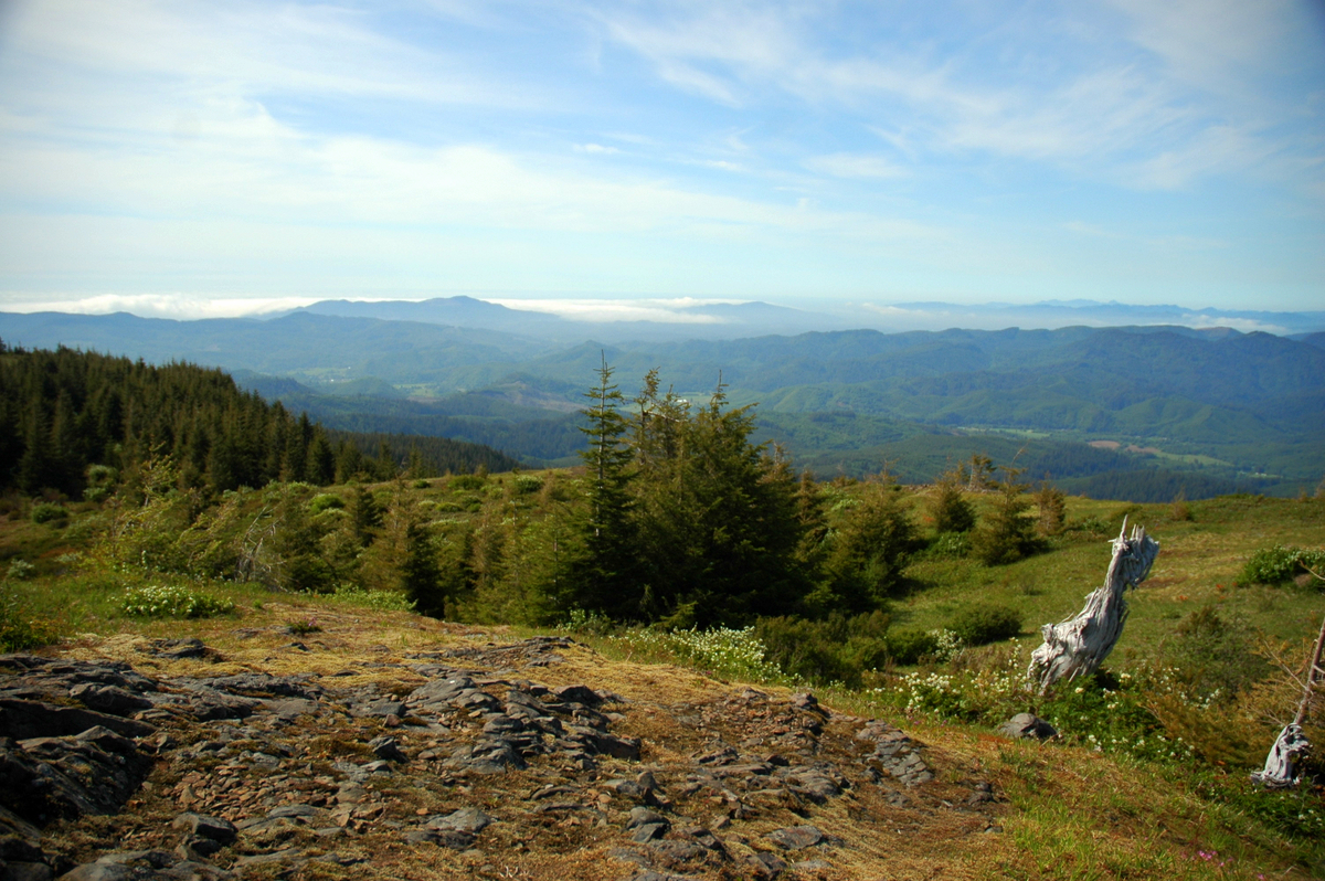
Hebo Lake Loop is a short, easy hike in the Hebo Ranger District of Siuslaw National Forest in Oregon, about 0.5 miles long and roughly 1650 feet in elevation. The Forest Service manages the land, and the trail is accessible, with a gravel surface that also allows bikes. Summer is the most comfortable time to go. Typical averages from a nearby weather station in Tillamook show July and August highs around 68 to 69°F with lows near 50°F, though that station sits well below the trail, so temperatures on the loop run cooler. Hebo Lake Campground and the Pioneer Indian hike both sit about 0.1 mile away. Farther out, Three Rivers offers canoeing about 3.6 miles off, and Castle Rock campground is about 3.7 miles away.
Local outfitters
- Twin Creeks Beach and Trail Rides8 mi away
- M&R Beach Rides8 mi away
Not on Roamze yet. Their page has how to reach them.
- Pioneer IndianHiking0.1 mi
- Hebo Lake CampgroundCamping0.1 mi
- Three RiversCanoeing3.6 mi
- Castle RockCamping3.7 mi
- South Lake Dispersed CampCamping4.3 mi
- Beaver CreekCanoeing4.6 mi
- Battle LakeHiking5.7 mi
- Alder CreekCanoeing5.9 mi
Source: Roamze catalog (indexable pages within 10 miles, PostGIS distance)
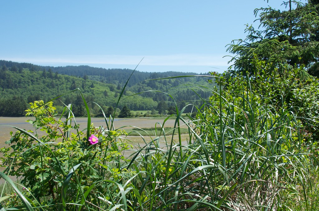 Estuary View TrailHiking · ~14 min drivePhoto: Sam Beebe, CC BY 2.0 (via Flickr)
 Hart's CoveHiking · ~26 min drivePhoto: Leslie Seaton from Seattle, WA, USA, CC BY 2.0 (via Wikimedia Commons)
 Salmonberry TrailHiking · ~42 min drivePhoto: gary_leavens, CC BY-SA 2.0 (via Flickr)
- Pioneer IndianHiking · Next door
 Two Rivers TrailHiking · ~15 min drivePhoto: Art Anderson, CC BY-SA 3.0 (via Wikimedia Commons)
 Cascade Head TrailHiking · ~28 min drivePhoto: Art Anderson, CC BY-SA 3.0 (via Wikimedia Commons)
- Cascade HeadHiking · ~24 min drive
 Marsh TrailHiking · ~15 min drivePhoto: Coreyleah, CC BY 3.0 (via Wikimedia Commons)
 Cape Meares Scenic TrailHiking · ~34 min drivePhoto: Roger Sylvia, CC BY-SA 3.0 (via Wikimedia Commons)
- Pacific View TrailHiking · ~15 min drivePhoto: Art Anderson, CC BY-SA 3.0 (via Wikimedia Commons)
Also worth it near here
Best time to visit Hebo Lake Loop
Best months: April–October. Best months have typical highs of 55–85 °F, lows of 30 °F or warmer (32 °F where the station doesn't record snow), at most one snowy day and no more than 12 wet days.
Jan
48° / 38°
Feb
51° / 37°
Mar
53° / 38°
Apr
55° / 40°
May
59° / 44°
Jun
64° / 47°
Jul
68° / 50°
Aug
69° / 50°
Sep
67° / 48°
Oct
60° / 43°
Nov
52° / 40°
Dec
47° / 38°
Typical high / low (°F) and days with rain or snow, 1991–2020. Measured at Tillamook 6se, OR, 13.8 mi away at 140 ft. The station sits about 1,500 ft lower than this place, so expect it a little cooler here. This station doesn't record snowfall. Source: NOAA NCEI U.S. Climate Normals 1991–2020.