Pacific View Trail
 Photo: Art Anderson, CC BY-SA 3.0 (via Wikimedia Commons)
- 0.3 mi
- round trip
- 60 ft
- climb
- 302 ft
- high point
- Out and back
- route
- May–Sep
- best months
Pacific View Trail is a short, easy out-and-back hike on land managed by the U.S. Fish and Wildlife Service within Nestucca Bay National Wildlife Refuge in Oregon. The trail's route is about 0.66 miles long, with a total elevation gain of 60 feet. That makes it a quick outing, and the climb is front-loaded, with the steepest stretch coming around 0.28 miles in at about a 4% grade before the path levels off. Summer is the most comfortable time to go. Typical averages from the nearby Cloverdale weather station show July and August highs around 70°F, with only about four wet days a month, while winter months bring highs in the low 50s and rain on most days. The station sits well below the trail, so temperatures on the refuge run cooler. The Two Rivers Trail is about 0.7 miles away, the Bay Trail about 0.9 miles, and the River Trail about a mile. For an overnight stay, Castle Rock campground is roughly 6.7 miles off.
Local outfitters
- Twin Creeks Beach and Trail Rides2 mi away
- M&R Beach Rides2 mi away
Not on Roamze yet. Their page has how to reach them.
- Two Rivers TrailHikingPhoto: Art Anderson, CC BY-SA 3.0 (via Wikimedia Commons)0.7 mi
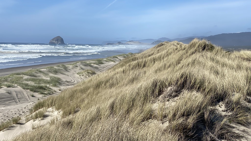 Bay TrailHikingPhoto: lamblukas, CC BY 2.0 (via Flickr)0.9 mi
 River TrailHikingPhoto: Coreyleah, CC BY 3.0 (via Wikimedia Commons)1 mi
- Castle RockCamping6.7 mi
- Neskowin CreekCanoeing6.8 mi
- South Fork Little Nestucca RiverCanoeing7.3 mi
- Alder CreekCanoeing7.3 mi
- SandbeachCamping8.2 mi
Source: Roamze catalog (indexable pages within 10 miles, PostGIS distance)
- Two Rivers TrailHiking · ~1 min drivePhoto: Art Anderson, CC BY-SA 3.0 (via Wikimedia Commons)
 Hart's CoveHiking · ~13 min drivePhoto: Leslie Seaton from Seattle, WA, USA, CC BY 2.0 (via Wikimedia Commons)
 Salmonberry TrailHiking · ~48 min drivePhoto: gary_leavens, CC BY-SA 2.0 (via Flickr)
- Cascade HeadHiking · ~12 min drive
- Bay TrailHiking · ~2 min drivePhoto: lamblukas, CC BY 2.0 (via Flickr)
 Cascade Head TrailHiking · ~15 min drivePhoto: Art Anderson, CC BY-SA 3.0 (via Wikimedia Commons)
- Pioneer IndianHiking · ~15 min drive
- River TrailHiking · ~2 min drivePhoto: Coreyleah, CC BY 3.0 (via Wikimedia Commons)
 Niagra FallsHiking · ~28 min drivePhoto: lumachrome, CC BY-SA 2.0 (via Flickr)
- Dune Ridge TrailHiking · ~3 min drivePhoto: Art Anderson, CC BY-SA 3.0 (via Wikimedia Commons)
Best time to visit Pacific View Trail
Best months: May–September. Best months have typical highs of 55–85 °F, lows of 30 °F or warmer (32 °F where the station doesn't record snow), at most one snowy day and no more than 12 wet days.
Jan
52° / 40°
18 wet
Feb
53° / 40°
16 wet
Mar
55° / 40°
18 wet
Apr
57° / 42°
16 wet
May
62° / 46°
12 wet
Jun
65° / 49°
8 wet
Jul
69° / 52°
4 wet
Aug
70° / 52°
4 wet
Sep
69° / 50°
8 wet
Oct
63° / 46°
13 wet
Nov
56° / 42°
17 wet
Dec
51° / 40°
19 wet
Typical high / low (°F) and days with rain or snow, 1991–2020. Measured at Cloverdale, OR, 4 mi away at 12 ft. Source: NOAA NCEI U.S. Climate Normals 1991–2020.