Fuji Mountain
- 6.4 mi
- round trip
- 6,155 ft
- climb
- 7,129 ft
- high point
- Out and back
- route
Is Fuji Mountain open right now?
Closure in the area
There's a closure order in Middle Fork Ranger District. It doesn't name Fuji Mountain, so check the source for the area it covers (2 listed).
Cedar Creek Area Closure
Agency closure covering Middle Fork Ranger District · Order 06-18-10-26-04 · USFS · Middle Fork Ranger District
Cedar Creek Fire Closure
Agency closure covering Willamette National Forest · Order 06-18-10-26-04 · USFS · Willamette National Forest
FIRE CLOSURES: Current wildfire closures on the Willamette National Forest
Agency alert covering Willamette National Forest · USFS · Willamette National Forest
2026 Active Wildfire
Agency alert covering Middle Fork Ranger District · USFS · Middle Fork Ranger District
As of · Source: USFS · Middle Fork Ranger District. Agencies don't list every closure — check before you go.
Fuji Mountain is a hard hike in the Willamette National Forest's Middle Fork Ranger District in Oregon, managed by the Forest Service. The route is an out-and-back of about 12.7 miles with a total elevation gain of about 4,573 feet, climbing from roughly 4,966 feet at the start to a high point of about 7,129 feet. The trail is open year-round, and it is rated hard. The trail is on natural surface and allows both horses and bikes. The trailhead sits about 6.4 miles away. The Marilyn Lakes area is close by, with the Marilyn Lakes hike and the Marilyn Lakes Nordic cross-country ski trail each about 0.3 miles away. Gold Lake Campground is about 0.7 miles away, and Salt Creek, a canoeing spot, is about 3.2 miles away.
Local outfitters
- Shelter Cove Resort & Marina4 mi away
- Casey's Riverside RV Resort25 mi away
Not on Roamze yet. Their page has how to reach them.
Conditions and forecast on Fuji Mountain
Daily highs and lows, wind and the chance of precipitation at the summit and route start for the next 7 days, from the Open-Meteo model.
- Marilyn Lakes NordicCross-country skiing0.3 mi
- MARILYN LAKESHiking0.3 mi
- Marilyn Lakes Tie NordicCross-country skiing0.6 mi
- Gold Lake CampgroundCamping0.7 mi
- Salt CreekCanoeing3.2 mi
 Trapper Creek CampgroundCampingPhoto: Recreation.gov (RIDB) / public domain3.5 mi
 Princess Creek CampgroundCampingPhoto: Recreation.gov (RIDB) / public domain3.9 mi
- Odell LakeLake fishing5.2 mi
Source: Roamze catalog (indexable pages within 10 miles, PostGIS distance)
 LOWER MARILYN LAKES NORDICHiking · ~3 min drivePhoto: OregonDOT, CC BY 2.0 (via Flickr)
 Pct - Oregon Section EHiking · ~5 min drivePhoto: Bruce Fingerhood from Springfield, Oregon, US, CC BY 2.0 (via Wikimedia Commons)
 Skyline Bike Trail #4383Hiking · ~5 min drivePhoto: Šarūnas Burdulis from USA, CC BY-SA 2.0 (via Wikimedia Commons)
- Maiden Lake Trail #3841Hiking · ~5 min drivePhoto: Šarūnas Burdulis from USA, CC BY-SA 2.0 (via Wikimedia Commons)
- DIAMOND VIEW LOOP NORDICHiking · ~5 min drivePhoto: OregonDOT, CC BY 2.0 (via Flickr)
 WHITEFISH CREEKHiking · ~5 min drivePhoto: lamblukas, CC BY 2.0 (via Flickr)
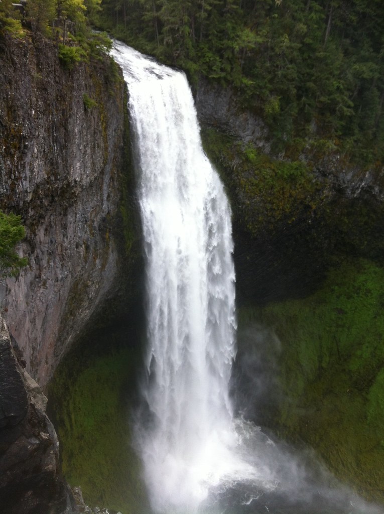 FUJI CREEK NORDICHiking · ~6 min drivePhoto: cjmartin, CC BY 2.0 (via Flickr)
 High Divide Trail #3572Hiking · ~6 min drivePhoto: U.S. Forest Service- Pacific Northwest Region, Public domain (via Wikimedia Commons)
- MAIDEN LAKE NORDICHiking · ~5 min drivePhoto: Šarūnas Burdulis from USA, CC BY-SA 2.0 (via Wikimedia Commons)
- Yoran Lake TrailHiking · ~6 min drivePhoto: lamblukas, CC BY 2.0 (via Flickr)
Route details
- Distance
- 6.4 mi round trip
- Climbing
- About 6,155 ft
- Summit
- 7,144 ft
- Difficulty
- Hard
- Time
- About 6 hours
Season
Season: Year-round.
Questions about this route
How long is the Fuji Mountain on Fuji Mountain?
About 6.4 mi round trip.
How much elevation gain is on the Fuji Mountain?
About 6,155 ft of climbing round trip.
How hard is the Fuji Mountain?
It is rated hard.
How long does the Fuji Mountain take?
About 6 hours round trip.
When is the best time for the Fuji Mountain?
Year-round.
