Pct - Oregon Section E
 Photo: Bruce Fingerhood from Springfield, Oregon, US, CC BY 2.0 (via Wikimedia Commons)
- 74.7 mi
- one way
- 8,602 ft
- climb
- 6,915 ft
- high point
- Point to point
- route
Is Pct - Oregon Section E open right now?
Closure in the area
There's a closure order in Deschutes National Forest. It doesn't name Pct - Oregon Section E, so check the source for the area it covers.
West Bend Area Trail Closures
Agency closure covering Deschutes National Forest · USFS · Deschutes National Forest
Camping & Campfire Restrictions Forest Order
Agency alert covering Deschutes National Forest · Order 06-01-26-01 · USFS · Deschutes National Forest
Cave Resource Protection Forest Order
Agency alert covering Deschutes National Forest · Order 06-01-26-02 · USFS · Deschutes National Forest
Deschutes 14-Day Camping Order
Agency alert covering Deschutes National Forest · Order 06-01-25-01 · USFS · Deschutes National Forest
Wilderness Permit, Camping & Fire Restrictions Order
Agency alert covering Deschutes National Forest · Order 06-01-24-01 · USFS · Deschutes National Forest
As of · Source: USFS · Deschutes National Forest. Agencies don't list every closure — check before you go.
The Oregon section of the Pacific Crest Trail, known as Pct - Oregon Section E, is a 74.7-mile point-to-point route in the Crescent Ranger District of Deschutes National Forest in central Oregon. The Forest Service manages the land. The trail rises to 6,915 feet, and the total one-way elevation gain is 8,602 feet, so the trip is best suited for expert hikers. The route has a rolling profile, with a low point around 5,043 feet and a start elevation of about 5,119 feet. That makes the climb a steady but not especially sharp ascent over the course of the trip. The trail is open to horses, and bikes are not allowed. Nearby, the Pacific Crest Trail - Rosary and - Pengra cross-country ski routes sit just 0.1 and 0.2 miles away. Trapper Creek Campground and Princess Creek Campground both offer camping within about 1.5 miles. Odell Lake, roughly 2.7 miles off, has fishing.
Local outfitters
- Shelter Cove Resort & Marina1 mi away
- Casey's Riverside RV Resort27 mi away
Not on Roamze yet. Their page has how to reach them.
Keep exploring — more trails worth the drive
 Photo: OregonDOT, CC BY 2.0 (via Flickr)
DIAMOND VIEW LOOP NORDIC
~1 min drive
0.68-mile loop trail in Oregon with 256 ft gain and 5,450 ft max elevation.
 Photo: lamblukas, CC BY 2.0 (via Flickr)
WHITEFISH CREEK
~2 min drive
21.64-mile out-and-back trail in Oregon with 2,508 ft elevation gain/loss
Photo: lamblukas, CC BY 2.0 (via Flickr)Yoran Lake Trail
~3 min drive
8.9-mile out-and-back hike to Yoran Lake in Oregon with 1,640 ft gain.
 Photo: Šarūnas Burdulis from USA, CC BY-SA 2.0 (via Wikimedia Commons)
Maiden Lake Trail #3841
~3 min drive
10.86-mile out-and-back hike in Oregon with 2,549 ft elevation gain.
 Photo: Šarūnas Burdulis from USA, CC BY-SA 2.0 (via Wikimedia Commons)
TAITS LOOP SOUTH TIE
~2 min drive
1.82-mile out-and-back trail in Oregon with 821 ft elevation gain
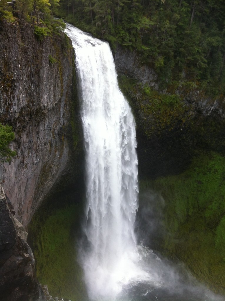 Photo: cjmartin, CC BY 2.0 (via Flickr)
FUJI CREEK NORDIC
~7 min drive
6.62-mile out-and-back trail in Oregon with 2,381 ft elevation gain and loss.
 Photo: opiebreath, CC BY 2.0 (via Flickr)
Yoran Lake
~8 min drive
8.02-mile out-and-back trail to Yoran Lake in Oregon with 1,113 ft of descent.
Photo: OregonDOT, CC BY 2.0 (via Flickr)LOWER MARILYN LAKES NORDIC
~2 min drive
2.82-mile out-and-back trail with 413 ft elevation gain and loss.
 Photo: Don Henise, CC BY 2.0 (via Flickr)
South Waldo Trail #3586
~8 min drive
6.98-mile out-and-back trail in Oregon with 2,014 ft gain/loss
 Photo: U.S. Forest Service- Pacific Northwest Region, Public domain (via Wikimedia Commons)
Whitefish Creek Trail
~9 min drive
19.3-mile out-and-back trail in Oregon with 2,152 ft elevation gain and loss.

Map and trail data © OpenStreetMap contributors
