Firelane 7A
- 0.6 mi
- round trip
- 981 ft
- climb
- 588 ft
- high point
- Out and back
- route
- May–Sep
- best months
Firelane 7A is a short, easy hike in Oregon, about 0.6 miles long and roughly 1 hour on foot. It is an out-and-back route that gains about 500 feet in elevation, with the high point at 588 feet and the low point at 73 feet. The route reaches its steepest stretch at about 0.4 miles in, with a grade of 33 percent. The nearest town is Whitwood Court, about 0.7 miles away. Summer is the most comfortable time to go. Typical averages from a nearby weather station show July and August highs in the low 80s and only about three to four wet days a month, while winter brings highs in the mid-40s and rain on most days. Several other outings sit close by. Northwest Leif Erikson Drive, a mountain biking route, is 0.2 miles away, and the Ridge Trail is 0.4 miles off. For paddling, Rock Creek is about 6.8 miles away, and the climbing area L. Wall of Shadows is about 9.6 miles away.
Local outfitters
- Wylark Mountaineering6 mi away
- Basecamp Adventure Co.6 mi away
Not on Roamze yet. Their page has how to reach them.
Best time to go · May–Sep
Best time to visit Firelane 7A
Best months: May–September. Best months have typical highs of 55–85 °F, lows of 30 °F or warmer (32 °F where the station doesn't record snow), at most one snowy day and no more than 12 wet days.
Jan
47° / 37°
19 wet · 1 snow
Feb
51° / 39°
16 wet
Mar
56° / 41°
18 wet
Apr
61° / 44°
16 wet
May
68° / 49°
12 wet
Jun
73° / 53°
8 wet
Jul
80° / 58°
4 wet
Aug
81° / 59°
3 wet
Sep
75° / 55°
7 wet
Oct
63° / 48°
13 wet
Nov
52° / 42°
18 wet
Dec
46° / 37°
20 wet · 1 snow
Typical high / low (°F) and days with rain or snow, 1991–2020. Measured at Portland Kgw-Tv, OR, 5.5 mi away at 159 ft. Source: NOAA NCEI U.S. Climate Normals 1991–2020.
Keep exploring — more trails worth the drive
 Photo: Ira Gersh, Public Domain Mark (via Flickr)
Ridge Trail
Next door
0.92-mile out-and-back Ridge Trail in Oregon gains 491 feet.
 Photo: mjfmjfmjf, CC BY 2.0 (via Flickr)
Wildwood Trail
~2 min drive
Nearly 30-mile point-to-point trail through Oregon's varied terrain.
 Photo: Jon Roberts from Austin TX, USA, CC BY-SA 2.0 (via Wikimedia Commons)
Maple Trail
~3 min drive
A 3.39-mile out-and-back forest walk through Oregon's maple woodlands.
Photo: mjfmjfmjf, CC BY 2.0 (via Flickr)Water Line Trail
~2 min drive
0.69-mile out-and-back trail in Oregon with 181 ft gain and 230 ft loss.
 Photo: mjfmjfmjf, CC BY 2.0 (via Flickr)
Wild Cherry Trail
~5 min drive
0.82-mile out-and-back trail in Oregon with 481 ft elevation gain.
 Photo: mark.sopelana, CC BY 2.0 (via Flickr)
Cannon Trail
~3 min drive
Short out-and-back trail perfect for a quick Oregon hike.
 Photo: mjfmjfmjf, CC BY 2.0 (via Flickr)
Marine Drive Trail
~7 min drive
Easy 3.42-mile out-and-back walk along Marine Drive in Oregon.
Photo: Jon Roberts from Austin TX, USA, CC BY-SA 2.0 (via Wikimedia Commons)Nature Trail
~3 min drive
0.89-mile out-and-back hike in Oregon with 421 ft of elevation gain.
HIKE
Northwest Firelane 1 Road
~2 min drive
1.02-mile out-and-back trail on Northwest Firelane 1 Road in Oregon.
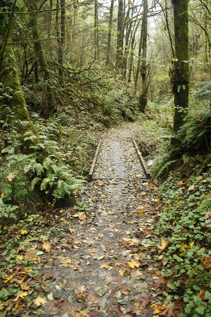 Photo: Evan-Lovely, CC BY-SA 2.0 (via Flickr)
Chestnut Trail
~3 min drive
0.49-mile out-and-back trail in Oregon with 146 ft gain.
Map and trail data © OpenStreetMap contributors
