Hiker/ biker
Campground
Campground · 0.4 mi from the trail
The Deschutes River Trail is an easy out-and-back hike in Oregon, about 1.8 miles from the town of Tumalo. The route is roughly 3.3 miles long, with a steady climb that takes you from a low point of 3,244 feet to a high of 3,372 feet. The total elevation gain is 912 feet, and the steepest stretch comes at about 1.4 miles in, with a grade of 7 percent. Summer is the most comfortable time to go. Typical averages from a nearby weather station in Bend show July and August highs around 82°F with lows near 49°F and only two or three wet days a month. Winter is much colder, with January highs around 42°F and lows near 24°F. The trip takes about 1.5 hours. The Canyon Loop Trail and Juniper Loop Trail are both within 2 miles, and the Tumalo Creek Trail is about 3 miles away. Paddlers can reach the Deschutes River, about 3.8 miles off.
Hiker/ biker
Campground
La Buena Vida
Taco restaurant
Raven Makes Gallery
Gallery
Places © OpenStreetMap contributors, Places © Overture Maps Foundation
More in SistersNot on Roamze yet. Their page has how to reach them.
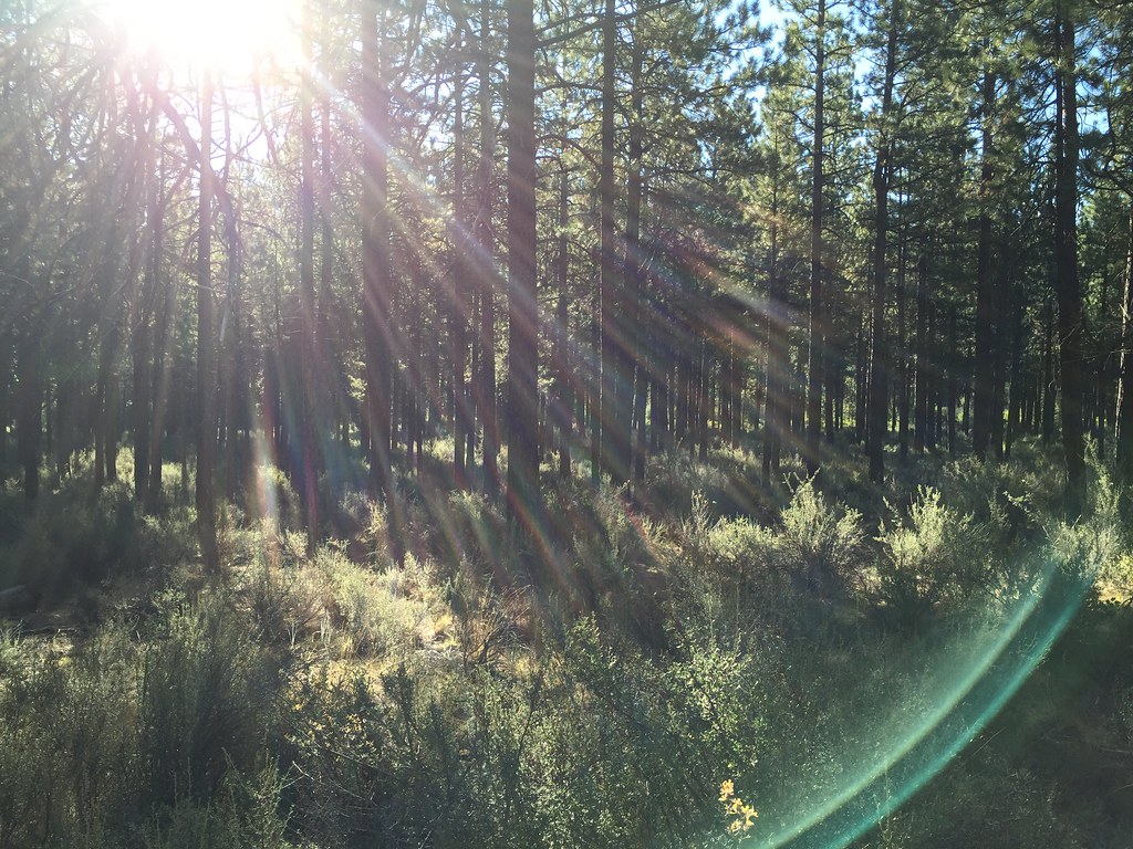 Tumalo Creek TrailHikingPhoto: igb, CC BY 2.0 (via Flickr)3 mi
Source: Roamze catalog (indexable pages within 10 miles, PostGIS distance)
Tumalo Creek TrailHiking · ~5 min drivePhoto: igb, CC BY 2.0 (via Flickr) Pilot Butte Nature TrailHiking · ~9 min drivePhoto: Robert Ashworth from Bellingham, WA., USA, CC BY 2.0 (via Wikimedia Commons)
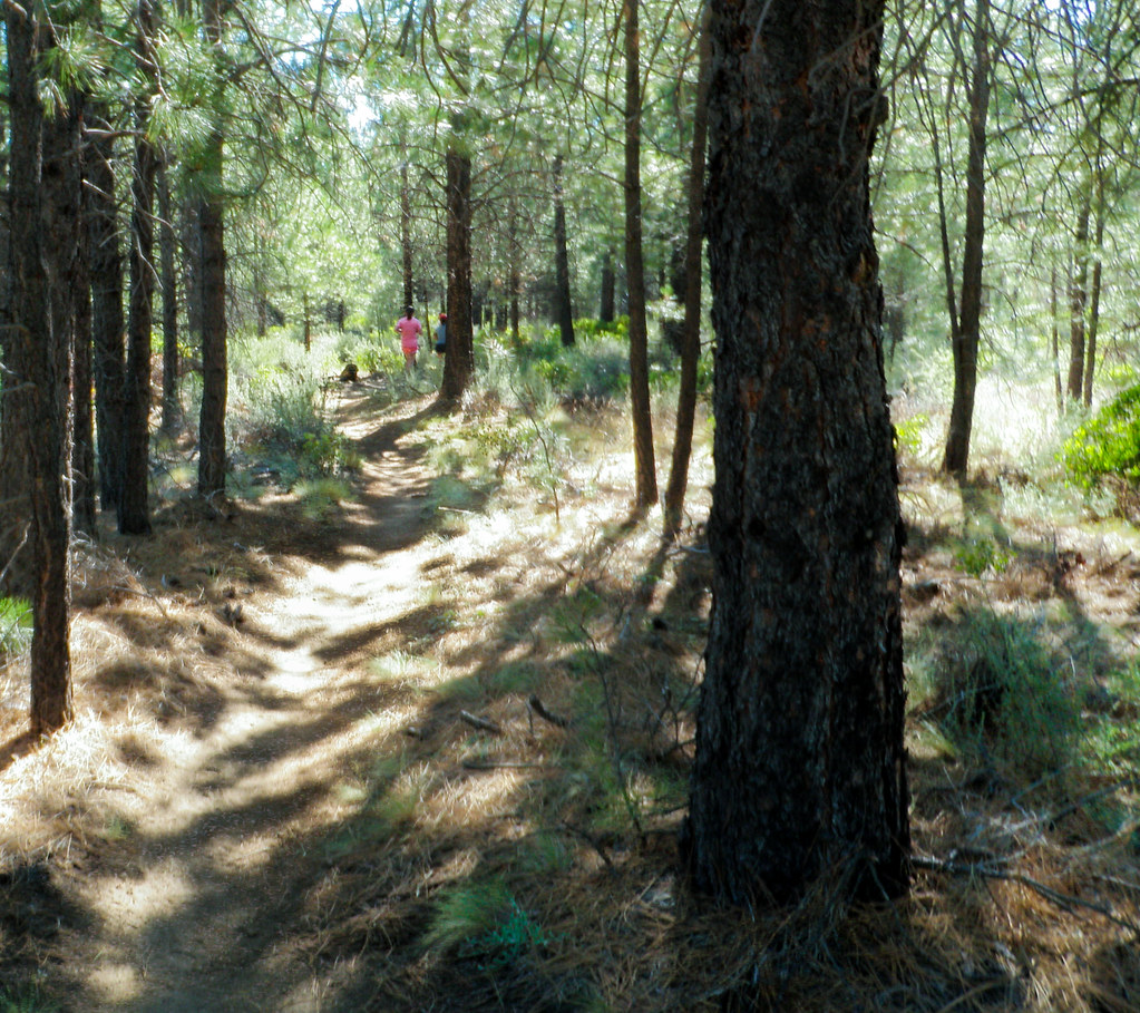 MrazekHiking · ~10 min drivePhoto: ex_magician, CC BY 2.0 (via Flickr)Tumalo Creek TrailHiking · ~6 min drivePhoto: igb, CC BY 2.0 (via Flickr)Shevlin Loop TrailHiking · ~6 min drivePhoto: igb, CC BY 2.0 (via Flickr)
 Dog PathHiking · ~6 min drivePhoto: Bonnie Moreland (free images), Public Domain Mark (via Flickr)
Best months: May–October. Best months have typical highs of 55–85 °F, lows of 30 °F or warmer (32 °F where the station doesn't record snow), at most one snowy day and no more than 12 wet days.
Jan
42° / 24°
8 wet
Feb
45° / 25°
6 wet
Mar
51° / 28°
6 wet
Apr
57° / 31°
7 wet
May
65° / 38°
7 wet
Jun
72° / 43°
5 wet
Jul
82° / 49°
3 wet
Aug
82° / 49°
2 wet
Sep
74° / 42°
3 wet
Oct
62° / 34°
5 wet
Nov
48° / 28°
7 wet
Dec
40° / 23°
8 wet
Typical high / low (°F) and days with rain or snow, 1991–2020. Measured at Bend 7 Ne, OR, 6.1 mi away at 3,358 ft. This station doesn't record snowfall. Source: NOAA NCEI U.S. Climate Normals 1991–2020.
Map and trail data © OpenStreetMap contributors

