Small Campsite
Campground
Campground · 1.4 mi from the trail
Alert in the area
The Forest Service lists 5 alerts for Mt. Hood National Forest.
Tamanawas Falls Trail closed due to instability hazards
Agency alert covering Mt. Hood National Forest · USFS · Mt. Hood National Forest
Current fire closures on Mt. Hood National Forest
Agency alert covering Hood River Ranger District · USFS · Hood River Ranger District
Eagle Creek Fire Area Closures
Agency alert covering Mt. Hood National Forest · Order 06-22-01-26-04 · USFS · Mt. Hood National Forest
FR 4613 road damage- use caution
Agency alert covering Mt. Hood National Forest · USFS · Mt. Hood National Forest
Crane Creek bridge closed on the Barlow Road
Agency alert covering Mt. Hood National Forest · USFS · Mt. Hood National Forest
As of · Source: USFS · Mt. Hood National Forest. Agencies don't list every closure — check before you go.
Cooks Meadow Trail #639 is a hard hike in the Hood River Ranger District of Mt. Hood National Forest in Oregon, managed by the Forest Service. The trail is an out-and-back route of about 13 miles, with a total climb of about 4,000 feet. The one-way elevation gain is about 1,900 feet, and the trail starts at roughly 5,875 feet, reaching a high point of about 5,970 feet before descending back to the starting point. The trail is a long, steep outing. The climb is centered in the middle of the route, and the round trip involves about 4,000 feet of gain and loss. The nearest town is Hood River, about 6 miles away. Cooks Meadow and High Prairie are both hikes about 0.2 miles from the trail. Nottingham Campground is about 1.8 miles away, and Fifteen Mile Campground is about 3 miles away.
Small Campsite
Campground
Crooked Tree Tavern & Grill
Restaurant
 If it rainsJmasterson, CC BY-SA 3.0 · Wikimedia Commons
Western Antique Aeroplane & Automobile Museum
Museum
Aviation and automobile museum in Oregon, United States
Places © OpenStreetMap contributors · Photos: Jmasterson, CC BY-SA 3.0 (commons)
More in Mount Hood VillagesNot on Roamze yet. Their page has how to reach them.
 White RiverCanoeingPhoto: Cacophony, CC BY-SA 3.0 (via Wikimedia Commons)8.8 mi
Source: Roamze catalog (indexable pages within 10 miles, PostGIS distance)
 Gumjuwac TrailHiking · ~3 min drivePhoto: niiicedave, CC BY-SA 2.0 (via Flickr)
 East ForkHiking · ~4 min drivePhoto: niiicedave, CC BY-SA 2.0 (via Flickr)POCKET CREEK NORDICHiking · ~5 min drivePhoto: niiicedave, CC BY-SA 2.0 (via Flickr)
 Elk Meadows Trail #645Hiking · ~8 min drivePhoto: BFS Man from Webster, TX, USA, CC BY 2.0 (via Wikimedia Commons)
 Divide TrailHiking · ~3 min drivePhoto: niiicedave, CC BY-SA 2.0 (via Flickr)
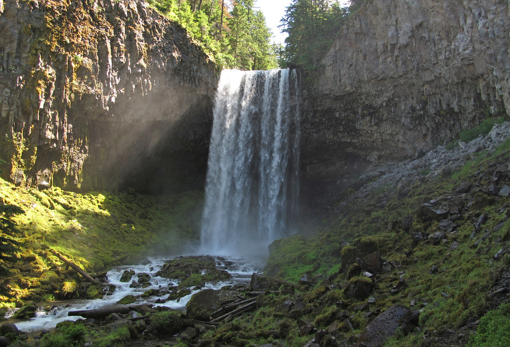 Bluegrass RidgeHiking · ~6 min drivePhoto: pmuellr, CC BY 2.0 (via Flickr)
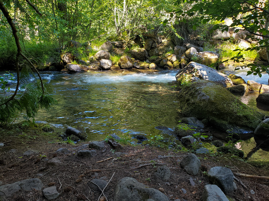 Tamanawas FallsHiking · ~7 min drivePhoto: niiicedave, CC BY-SA 2.0 (via Flickr)Pete's Pile climbers trailHiking · ~6 min drivePhoto: niiicedave, CC BY-SA 2.0 (via Flickr)
 Boulder CreekHiking · ~8 min drivePhoto: U.S. Forest Service- Pacific Northwest Region, Public domain (via Wikimedia Commons)
Map and trail data © OpenStreetMap contributors
