Three Creeks Meadow Campground
Campground
Campground · 4.5 mi from the trail
Caution at last check
Agency alerts are in effect for this area; weather is good · USFS, OpenWeather · checked 22 h ago
Closure in the area
There's a closure order in Deschutes National Forest. It doesn't name Climber's Trail, so check the source for the area it covers.
West Bend Area Trail Closures
Agency closure covering Deschutes National Forest · USFS · Deschutes National Forest
Camping & Campfire Restrictions Forest Order
Agency alert covering Deschutes National Forest · Order 06-01-26-01 · USFS · Deschutes National Forest
Cave Resource Protection Forest Order
Agency alert covering Deschutes National Forest · Order 06-01-26-02 · USFS · Deschutes National Forest
Deschutes 14-Day Camping Order
Agency alert covering Deschutes National Forest · Order 06-01-25-01 · USFS · Deschutes National Forest
Wilderness Permit, Camping & Fire Restrictions Order
Agency alert covering Deschutes National Forest · Order 06-01-24-01 · USFS · Deschutes National Forest
As of · Source: USFS · Deschutes National Forest. Agencies don't list every closure — check before you go.
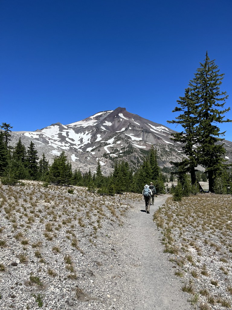
Climber's Trail is a hard out-and-back hike in Oregon's Three Sisters Wilderness, within the Sisters Ranger District of Deschutes National Forest. The route is about 8.8 miles long, with a total elevation gain of 3,514 feet, and it starts at roughly 6,292 feet. The high point is 8,304 feet, and the climb is front-loaded, so the steepest part comes early in the trip. The trail is managed by the Forest Service, and the surrounding land is designated wilderness. Plan on about 4.5 hours for the round trip. Demaris Lake is about a mile away, and Pole Creek and Camp Lake are each within about 2 miles. Three Creeks Meadow Campground, about 4.5 miles off, is the closest place to camp.
Three Creeks Meadow Campground
Campground
Clearwater Gallery
Gallery
Places © OpenStreetMap contributors
More in SistersNot on Roamze yet. Their page has how to reach them.
 Pole CreekHikingPhoto: Forest Service Pacific Northwest Region, Public Domain Mark (via Flickr)1.7 mi
 Camp LakeHikingPhoto: Don Henise, CC BY 2.0 (via Flickr)2 mi
 Three Creeks Meadow CampgroundCampingPhoto: Recreation.gov (RIDB) / public domain4.5 mi
 Three Creeks Meadow Horse CampCampingPhoto: Recreation.gov (RIDB) / public domain5 mi
Source: Roamze catalog (indexable pages within 10 miles, PostGIS distance)
Pole CreekHiking · ~3 min drivePhoto: Forest Service Pacific Northwest Region, Public Domain Mark (via Flickr)Camp LakeHiking · ~3 min drivePhoto: Don Henise, CC BY 2.0 (via Flickr) SNOW CREEK XCHiking · ~10 min drivePhoto: U.S. Forest Service- Pacific Northwest Region, Public domain (via Wikimedia Commons)Chush FallsHiking · ~5 min drivePhoto: Forest Service Pacific Northwest Region, Public Domain Mark (via Flickr)
 Broken TopHiking · ~12 min drivePhoto: U.S. Forest Service- Pacific Northwest Region, Public domain (via Wikimedia Commons)
 South Sister ClimberHiking · ~12 min drivePhoto: bzo, CC BY-SA 2.0 (via Flickr)
 Golden Lake Old TrailHiking · ~5 min drivePhoto: owen galen jones, CC BY-SA 2.0 (via Flickr)
 Broken Top Northwest Ridge RouteHiking · ~8 min drivePhoto: Forest Service Pacific Northwest Region, Public Domain Mark (via Flickr)
 North Matthieu LakeHiking · ~12 min drivePhoto: Greg Willis from Denver, CO, usa, CC BY-SA 2.0 (via Wikimedia Commons)
Map and trail data © OpenStreetMap contributors
