Golden Lake Old Trail
 Photo: owen galen jones, CC BY-SA 2.0 (via Flickr)
- 0.6 mi
- round trip
- 407 ft
- climb
- 6,832 ft
- high point
- Out and back
- route
Is Golden Lake Old Trail open right now?
Closure in the area
There's a closure order in Deschutes National Forest. It doesn't name Golden Lake Old Trail, so check the source for the area it covers.
West Bend Area Trail Closures
Agency closure covering Deschutes National Forest · USFS · Deschutes National Forest
Camping & Campfire Restrictions Forest Order
Agency alert covering Deschutes National Forest · Order 06-01-26-01 · USFS · Deschutes National Forest
Cave Resource Protection Forest Order
Agency alert covering Deschutes National Forest · Order 06-01-26-02 · USFS · Deschutes National Forest
Deschutes 14-Day Camping Order
Agency alert covering Deschutes National Forest · Order 06-01-25-01 · USFS · Deschutes National Forest
Wilderness Permit, Camping & Fire Restrictions Order
Agency alert covering Deschutes National Forest · Order 06-01-24-01 · USFS · Deschutes National Forest
As of · Source: USFS · Deschutes National Forest. Agencies don't list every closure — check before you go.
Golden Lake Old Trail is an easy out-and-back hike of about 1.2 miles in Oregon's Three Sisters Wilderness, on the Sisters Ranger District of Deschutes National Forest. The Forest Service manages the land, and the trail is short enough to fit into a day of exploring the surrounding wilderness. The route gains about 407 feet from the start to the high point at 6,832 feet, and the same amount is lost on the way back. The steepest stretch comes at about 0.35 miles in, where the grade reaches about 11 percent. The trail starts near 6,815 feet, and the low point is at 6,626 feet, so the whole route stays within a few hundred feet of that elevation range. The hike takes about half an hour. It makes a natural pairing with Golden Lake Trail, just half a mile away, and Green Lakes lies about a mile off. Climbers can head to the Three Sisters Wilderness area, roughly 1.9 miles away, and Three Creeks Meadow Campground offers camping about 4.6 miles from the trail.
Local outfitters
- Big Lake Youth Camp15 mi away
- Oregon Territory Outfitters15 mi away
Not on Roamze yet. Their page has how to reach them.
Keep exploring — more trails worth the drive
 Photo: Don Henise, CC BY 2.0 (via Flickr)
Camp Lake
~4 min drive
10-mile out-and-back trail to Camp Lake in Oregon with 249 ft gain.
 Photo: Forest Service Pacific Northwest Region, Public Domain Mark (via Flickr)
Chush Falls
~7 min drive
4.6-mile out-and-back trail to Chush Falls in Oregon with 386 ft of elevation gain.
 Photo: bzo, CC BY-SA 2.0 (via Flickr)
South Sister Climber
~8 min drive
South Sister Climber is a 3.60-mile out-and-back trail in Oregon with 802 ft of elevation gain.
HIKE
Metolius-Windigo Trail #99
~6 min drive
29.58-mile out-and-back trail in Oregon with 3,684 ft elevation gain/loss.
 Photo: Jonathan Miske, CC BY-SA 2.0 (via Flickr)
Soda Creek
~9 min drive
9.46-mile out-and-back trail in Oregon with 1,690 ft elevation gain.
Photo: Forest Service Pacific Northwest Region, Public Domain Mark (via Flickr)Pole Creek
~8 min drive
1-mile out-and-back trail to Pole Creek in Oregon.
 Photo: U.S. Forest Service- Pacific Northwest Region, Public domain (via Wikimedia Commons)
SNOW CREEK XC
~8 min drive
7.82-mile out-and-back trail in Oregon with 1,346 ft elevation gain/loss.
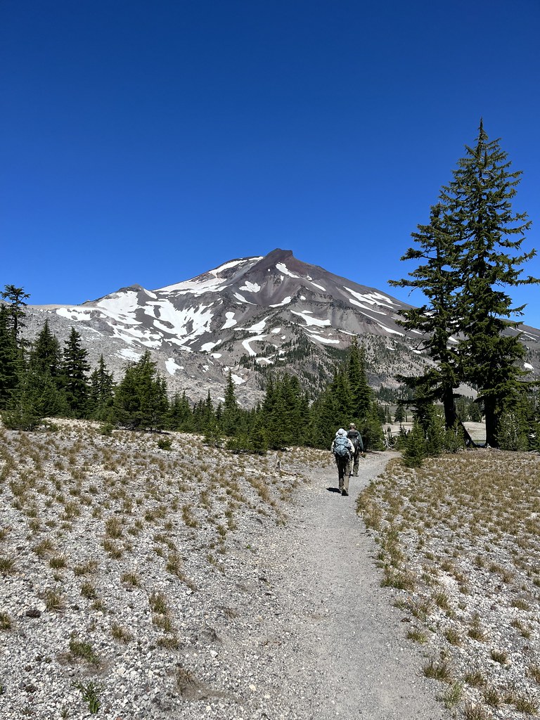 Photo: Forest Service Pacific Northwest Region, Public Domain Mark (via Flickr)
Broken Top Northwest Ridge Route
~3 min drive
1.62-mile out-and-back trail to Broken Top's northwest ridge with 2,445 ft gain
 Photo: dogplusplus, CC BY 2.0 (via Flickr)
Park Meadow Tie
~8 min drive
2-mile out-and-back trail in Oregon with 266 ft gain
 Photo: Bonnie Moreland (free images), Public Domain Mark (via Flickr)
Elk-Devils
~9 min drive
11.32-mile out-and-back trail in Oregon with 758 ft elevation gain.


Map and trail data © OpenStreetMap contributors
