Three Creeks Meadow Campground
Campground
Campground · 5.8 mi from the trail
 Photo: Don Henise, CC BY 2.0 (via Flickr)
Closure in the area
There's a closure order in Deschutes National Forest. It doesn't name Camp Lake, so check the source for the area it covers.
West Bend Area Trail Closures
Agency closure covering Deschutes National Forest · USFS · Deschutes National Forest
Camping & Campfire Restrictions Forest Order
Agency alert covering Deschutes National Forest · Order 06-01-26-01 · USFS · Deschutes National Forest
Cave Resource Protection Forest Order
Agency alert covering Deschutes National Forest · Order 06-01-26-02 · USFS · Deschutes National Forest
Deschutes 14-Day Camping Order
Agency alert covering Deschutes National Forest · Order 06-01-25-01 · USFS · Deschutes National Forest
Wilderness Permit, Camping & Fire Restrictions Order
Agency alert covering Deschutes National Forest · Order 06-01-24-01 · USFS · Deschutes National Forest
As of · Source: USFS · Deschutes National Forest. Agencies don't list every closure — check before you go.
Camp Lake is a hard hike in the Three Sisters Wilderness, part of the Sisters Ranger District of Deschutes National Forest in Oregon. The route is an out-and-back that climbs about 1,272 feet on the way up to a high point of 7,027 feet, with the trail starting at roughly 6,970 feet and dropping back to about 5,736 feet on the return. The total gain and loss over the round trip are each about 2,740 feet. The trail is on natural surface and allows horses, which makes it a practical choice for riders. Bikes are not allowed. The steepest stretch comes at about 1.8 miles in, where the grade reaches about 23%. The hike is open year-round and takes about 4.5 hours. It sits within designated wilderness, so visitors should plan for a remote, backcountry outing. Nearby, the Three Sisters Wilderness climbing area is about 0.6 miles away, and Demaris Lake and Climber's Trail are both within about 2 miles. Three Creeks Meadow Campground is roughly 5.8 miles away for overnight stays.
Three Creeks Meadow Campground
Campground
Takoda's
Restaurant
Clearwater Gallery
Gallery
Places © OpenStreetMap contributors
More in SistersNot on Roamze yet. Their page has how to reach them.
 Photo: owen galen jones, CC BY-SA 2.0 (via Flickr)
Golden Lake Old Trail
~4 min drive
0.59-mile out-and-back trail at Golden Lake with 25 ft gain and 216 ft loss.
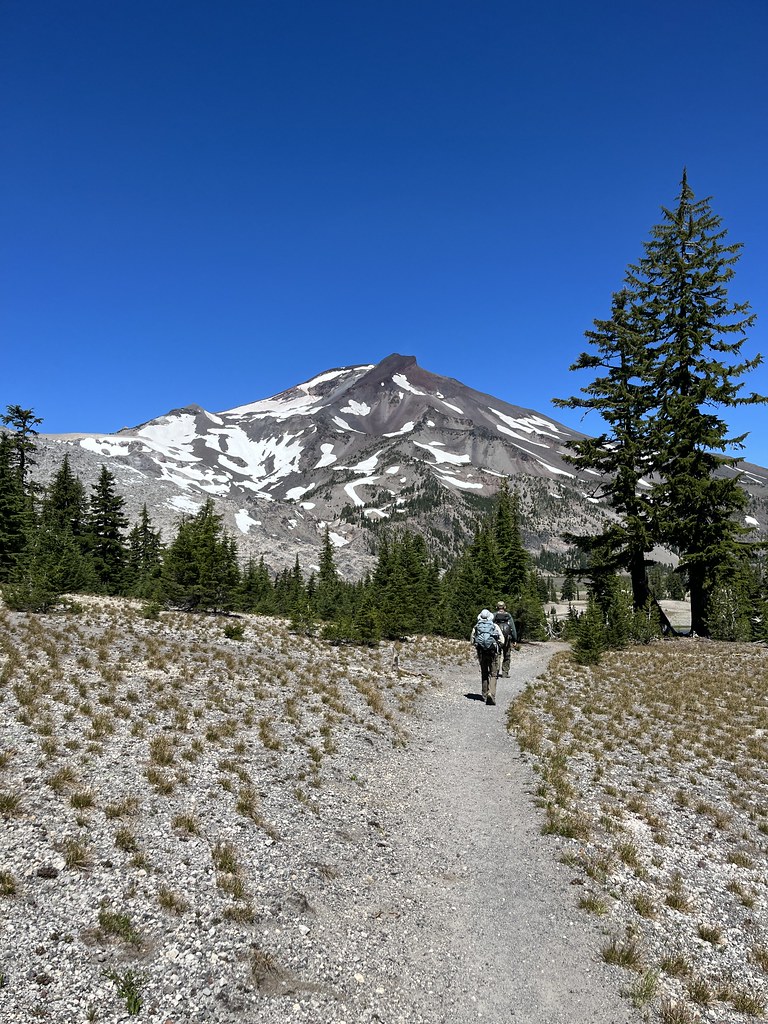 Photo: Forest Service Pacific Northwest Region, Public Domain Mark (via Flickr)
Broken Top Northwest Ridge Route
~7 min drive
1.62-mile out-and-back trail to Broken Top's northwest ridge with 2,445 ft gain
 Photo: U.S. Forest Service- Pacific Northwest Region, Public domain (via Wikimedia Commons)
SNOW CREEK XC
~11 min drive
7.82-mile out-and-back trail in Oregon with 1,346 ft elevation gain/loss.
HIKE
Metolius-Windigo Trail #99
~9 min drive
29.58-mile out-and-back trail in Oregon with 3,684 ft elevation gain/loss.
 Photo: Forest Service Pacific Northwest Region, Public Domain Mark (via Flickr)
Chush Falls
~8 min drive
4.6-mile out-and-back trail to Chush Falls in Oregon with 386 ft of elevation gain.
 Photo: U.S. Forest Service- Pacific Northwest Region, Public domain (via Wikimedia Commons)
Broken Top
~11 min drive
9.40-mile out-and-back trail in Oregon with 619 ft gain.
 Photo: bzo, CC BY-SA 2.0 (via Flickr)
South Sister Climber
~9 min drive
South Sister Climber is a 3.60-mile out-and-back trail in Oregon with 802 ft of elevation gain.
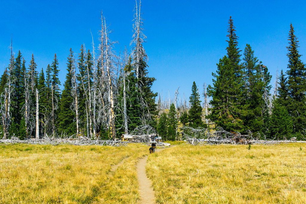 Photo: dogplusplus, CC BY 2.0 (via Flickr)
Metolius-Windigo Trail #99
~11 min drive
1.2-mile out-and-back trail in Oregon with 228 ft elevation gain
 Photo: Bonnie Moreland (free images), Public Domain Mark (via Flickr)
South Sister Climber
~11 min drive
7.2-mile out-and-back trail in Oregon with 1,737 ft elevation gain.
Photo: Bonnie Moreland (free images), Public Domain Mark (via Flickr)Elk-Devils
~12 min drive
11.32-mile out-and-back trail in Oregon with 758 ft elevation gain.

