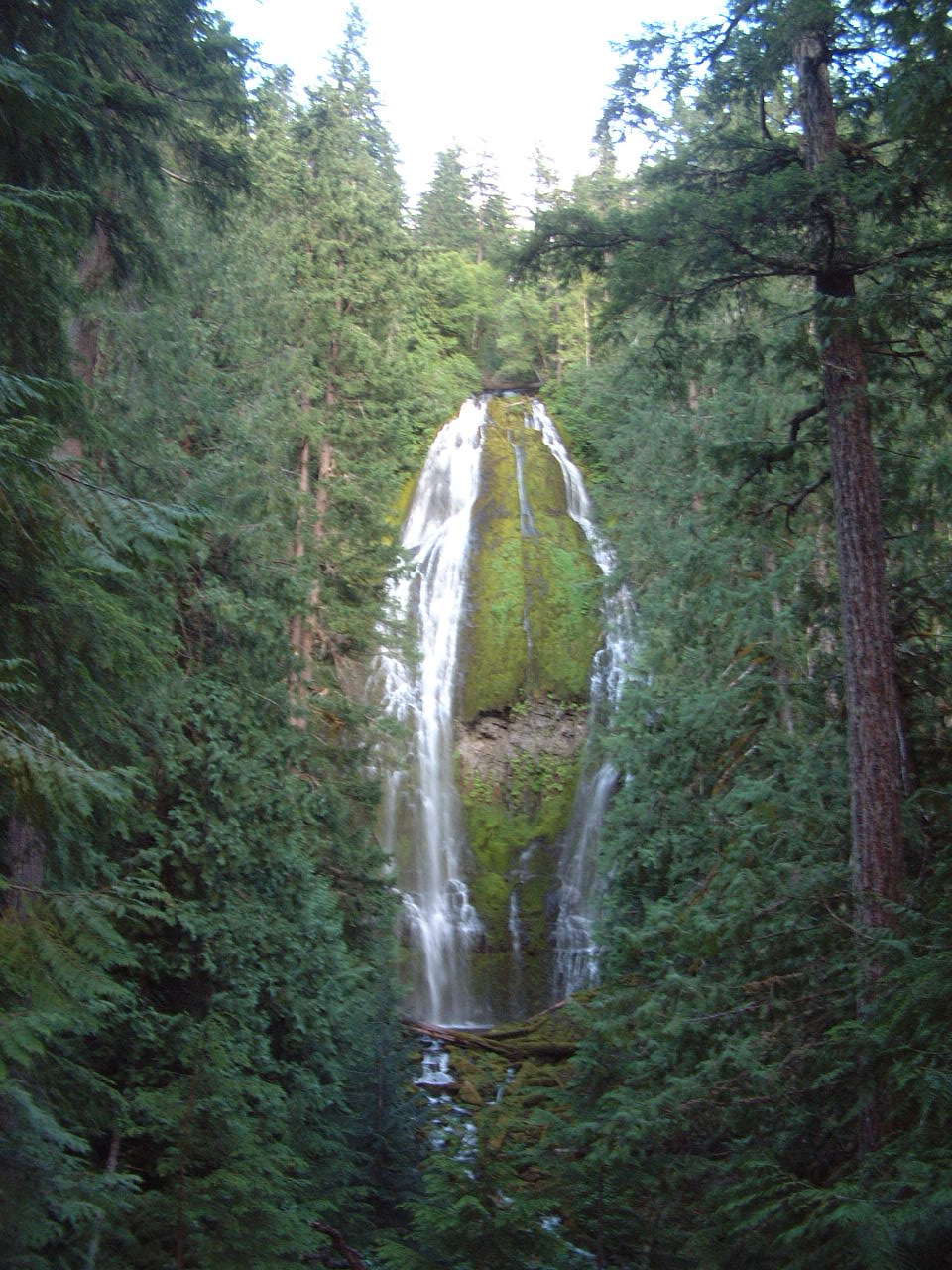
Camp White Branch
Campground
Campground · 5.2 mi from the trail
Caution at last check
Agency alerts are in effect for this area; weather is good · USFS, OpenWeather · checked 23 h ago
Closure in the area
There's a closure order in Willamette National Forest. It doesn't name Separation Creek, so check the source for the area it covers.
Cedar Creek Fire Closure
Agency closure covering Willamette National Forest · Order 06-18-10-26-04 · USFS · Willamette National Forest
FIRE CLOSURES: Current wildfire closures on the Willamette National Forest
Agency alert covering Willamette National Forest · USFS · Willamette National Forest
As of · Source: USFS · Willamette National Forest. Agencies don't list every closure — check before you go.
Separation Creek is a 16-mile paddling stretch near McKenzie Bridge, Oregon. It flows year-round. USGS models an average flow of about 264 cfs and a gradient of about 294.0 feet per mile. Land along it is managed by the U.S. Forest Service.
Camp White Branch
Campground
Takoda's
Restaurant
Clearwater Gallery
Gallery
Places © OpenStreetMap contributors
More in SistersNot on Roamze yet. Their page has how to reach them.
 Buck MeadowsHikingPhoto: U.S. Forest Service- Pacific Northwest Region, Public domain (via Wikimedia Commons)1.6 mi
 Substitute PointHikingPhoto: Forest Service Pacific Northwest Region, Public Domain Mark (via Flickr)1.6 mi
 Foley RidgeHikingPhoto: Robert Ashworth from Bellingham, WA., USA, CC BY 2.0 (via Wikimedia Commons)3.7 mi
 Horse CreekCanoeingPhoto: James B. Norman and Murray Stone, Photographers, Public domain (via Wikimedia Commons)4.3 mi
Source: Roamze catalog (indexable pages within 10 miles, PostGIS distance)
Horse CreekCanoeing · ~7 min drivePhoto: James B. Norman and Murray Stone, Photographers, Public domain (via Wikimedia Commons) French Pete CreekCanoeing · ~19 min drivePhoto: JAR, CC BY 2.0 (via Wikimedia Commons)
 North Fork Middle Fork Willamette RiverCanoeing · ~35 min drivePhoto: Jsayre64, CC BY-SA 3.0 (via Wikimedia Commons)
 South Fork McKenzie RiverCanoeing · ~19 min drivePhoto: Robert Ashworth, CC BY 2.0 (via Wikimedia Commons)