Todd Creek Horse Camp
Campground
Campground · 2.9 mi from the trail
 Photo: U.S. Forest Service- Pacific Northwest Region, Public domain (via Wikimedia Commons)
Closure in the area
There's a closure order in Deschutes National Forest. It doesn't name Broken Top, so check the source for the area it covers (3 listed).
West Bend Area Trail Closures
Agency closure covering Deschutes National Forest · USFS · Deschutes National Forest
West Bend IRSC- Area, Road and Trail Closure
Agency closure covering Bend/Fort Rock Ranger District · Order 06-01-01-26-03 · USFS · Bend/Fort Rock Ranger District
Cabin Butte Area Closure
Agency closure covering Bend/Fort Rock Ranger District · Order 06-01-01-26-01 · USFS · Bend/Fort Rock Ranger District
Camping & Campfire Restrictions Forest Order
Agency alert covering Deschutes National Forest · Order 06-01-26-01 · USFS · Deschutes National Forest
Cave Resource Protection Forest Order
Agency alert covering Deschutes National Forest · Order 06-01-26-02 · USFS · Deschutes National Forest
As of · Source: USFS · Deschutes National Forest. Agencies don't list every closure — check before you go.
Broken Top is a 9.4-mile out-and-back hike in Oregon's Deschutes National Forest, within the Bend/Fort Rock Ranger District. The trail climbs from about 7,126 feet to 7,146 feet, with a total elevation gain of 1,925 feet over the round trip. The steepest stretch comes early on, around mile 0.64, where the grade reaches about 11 percent. The Forest Service manages the land. Horses are allowed, but bikes are not, and the trail surface is natural. The trip takes about four hours, and the route is open year-round. Ramble On lies about 1.5 miles away, and Todd Trail #34 is about 2.1 miles off. For an overnight stay, Three Creeks Lake Campground is about 3.4 miles away. Climbers can head to Cougar Buttress, roughly 6.6 miles from the trail.
Todd Creek Horse Camp
Campground
Bend Pizza Kitchen
Restaurant
Clearwater Gallery
Gallery
Places © OpenStreetMap contributors
More in SistersNot on Roamze yet. Their page has how to reach them.
Photo: U.S. Forest Service- Pacific Northwest Region, Public domain (via Wikimedia Commons)Flagline
~3 min drive
23.33-mile out-and-back trail in Oregon with 1,077 ft gain.
 Photo: U.S. Forest Service- Pacific Northwest Region, Public domain (via Wikimedia Commons)
Todd Trail #34
~4 min drive
4.06-mile out-and-back trail in Oregon with 1,155 ft elevation gain and loss.
Photo: U.S. Forest Service- Pacific Northwest Region, Public domain (via Wikimedia Commons)TODD RIDGE
~4 min drive
2.64-mile out-and-back trail on Todd Ridge in Oregon with 932 ft gain.
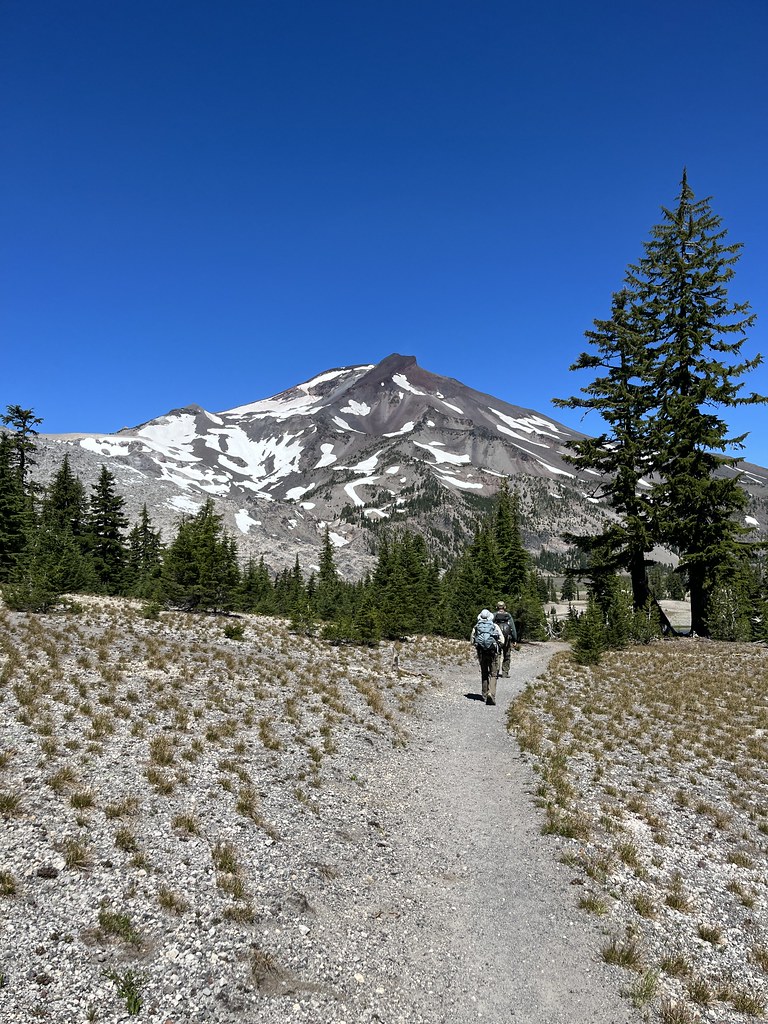 Photo: Forest Service Pacific Northwest Region, Public Domain Mark (via Flickr)
Broken Top Northwest Ridge Route
~5 min drive
1.62-mile out-and-back trail to Broken Top's northwest ridge with 2,445 ft gain
Photo: U.S. Forest Service- Pacific Northwest Region, Public domain (via Wikimedia Commons)Todd Lake
~4 min drive
3.14-mile loop hike at Todd Lake in Oregon with 632 ft gain.
Photo: U.S. Forest Service- Pacific Northwest Region, Public domain (via Wikimedia Commons)Water Tower Trail
~4 min drive
1.52-mile out-and-back trail in Oregon with 279 ft elevation gain
 Photo: Jonathan Miske, CC BY-SA 2.0 (via Flickr)
Soda Creek
~6 min drive
9.46-mile out-and-back trail in Oregon with 1,690 ft elevation gain.
 Photo: kallahar, CC BY 3.0 (via Wikimedia Commons)
Fly Creek
~7 min drive
3.84-mile out-and-back trail in Oregon with 7,493 ft gain
 Photo: Jonathan Miske, CC BY-SA 2.0 (via Flickr)
Flagline Access XC trail
~5 min drive
1.34-mile out-and-back trail in Oregon with 256 ft elevation gain/loss
HIKE
Metolius-Windigo Trail #99
~5 min drive
15.32-mile out-and-back hike in Oregon with 1,952 ft elevation gain and loss.


