South Campground
Campground
Campground · 2.6 mi from the trail
The 140 Trail is an easy out-and-back hike in Oregon, about 2.6 miles from the town of Oak Grove. The route is roughly 2.3 miles long, with a total climb of 922 feet and a total descent of 922 feet. The trail starts and ends at about 2,492 feet, and the steepest stretch comes around the 0.56-mile mark, where the grade reaches about 19%. Summer is the most comfortable time to go. Typical averages from a nearby weather station in Snowden, Washington, show July and August highs around 79°F with lows near 49°F, while winter highs there stay in the upper 30s. The Borderline Trail and Hidden Trail, both mountain biking routes, sit just 0.2 miles away. Viento Wall, a climbing area, is about 2.7 miles off, and Rainy Lake campground is about 6.2 miles away.
South Campground
Campground
Twin Peaks
Restaurant
 If it rainsJmasterson, CC BY-SA 3.0 · Wikimedia Commons
Western Antique Aeroplane & Automobile Museum
Museum
Aviation and automobile museum in Oregon, United States
Places © OpenStreetMap contributors · Photos: Jmasterson, CC BY-SA 3.0 (commons)
More in Trout LakeNot on Roamze yet. Their page has how to reach them.
Source: Roamze catalog (indexable pages within 10 miles, PostGIS distance)
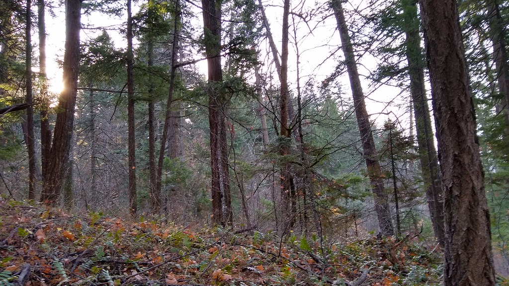 140 TrailHiking · ~4 min drivePhoto: mjfmjfmjf, CC BY 2.0 (via Flickr)
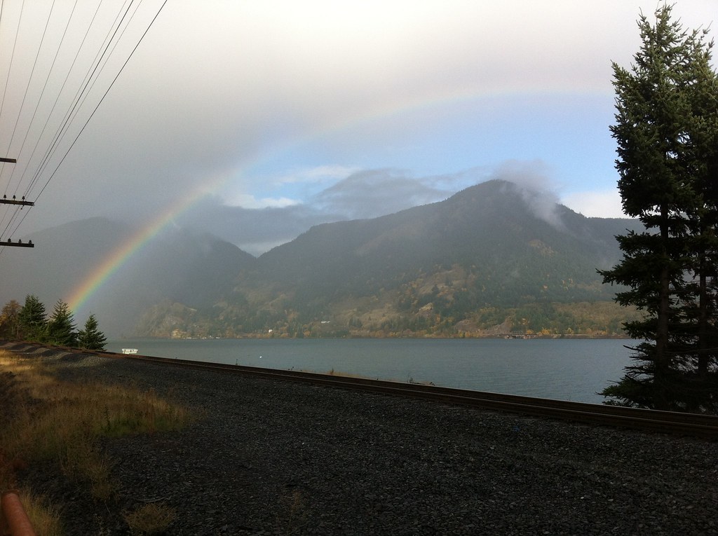 Chetwoot Loop TrailHiking · ~4 min drivePhoto: Hugh_Mann_Photo, CC BY-SA 2.0 (via Flickr)
 Wygant TrailHiking · ~4 min drivePhoto: mjfmjfmjf, CC BY 2.0 (via Flickr)
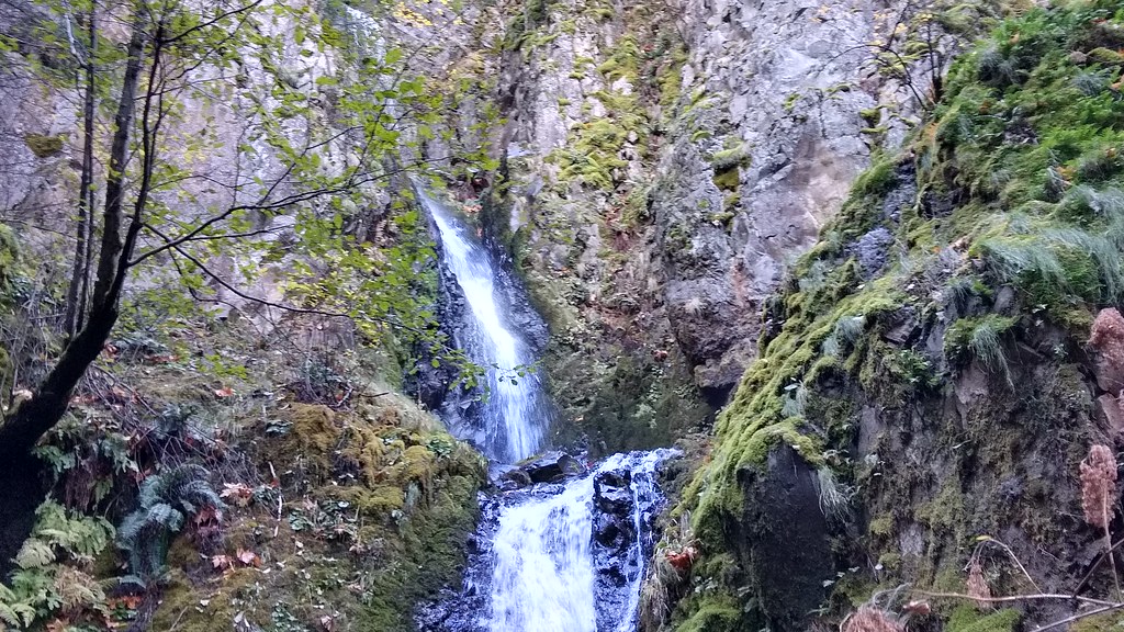 STARVATION RIDGEHiking · ~6 min drivePhoto: mjfmjfmjf, CC BY 2.0 (via Flickr)
 Warren Lake Trail #417AHiking · ~5 min drivePhoto: Joe Omundson, CC BY-SA 1.0 (via Wikimedia Commons)
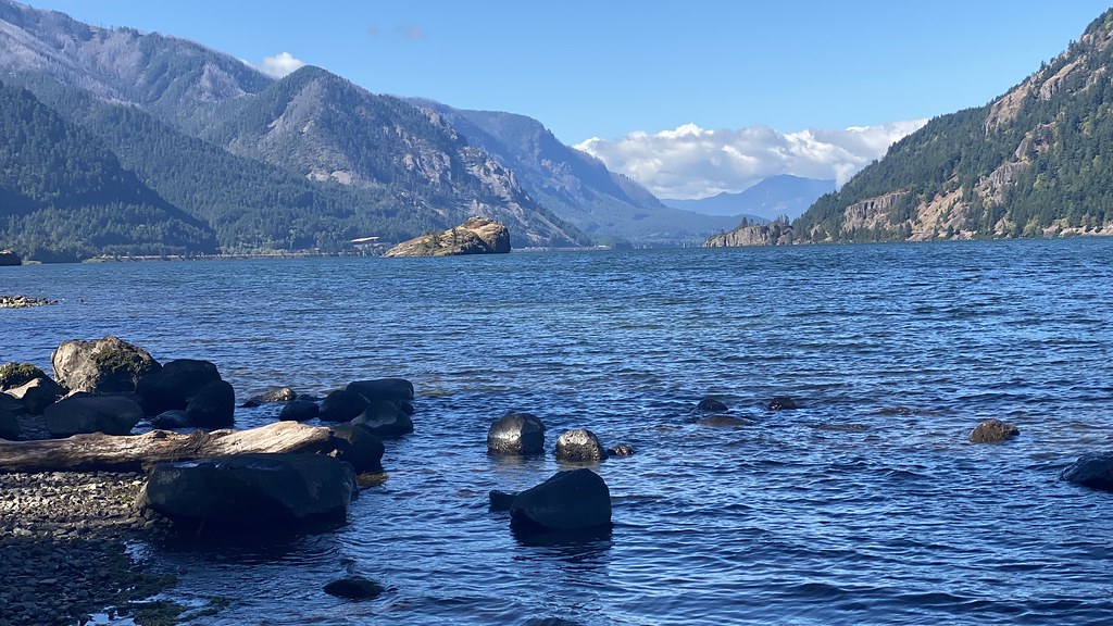 Water Tank TrailHiking · ~4 min drivePhoto: lamblukas, CC BY 2.0 (via Flickr)
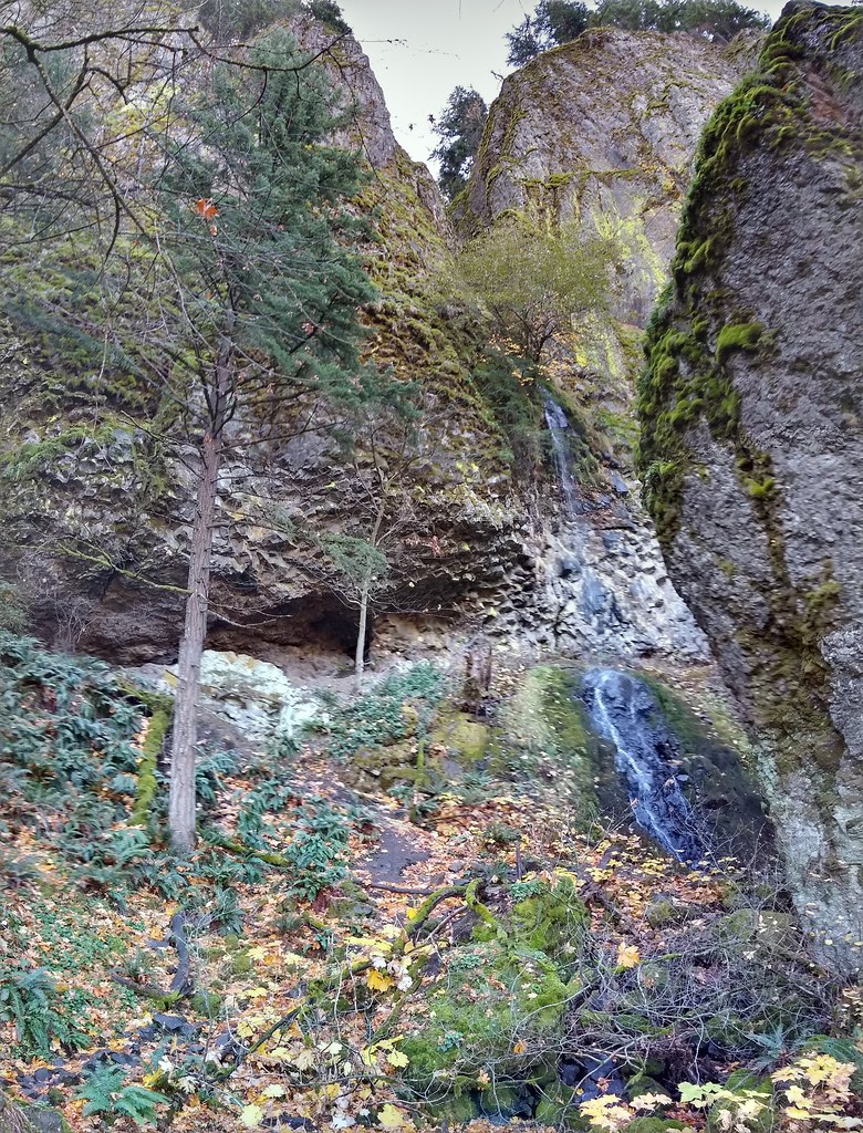 Starvation Ridge Trail #414Hiking · ~5 min drivePhoto: mjfmjfmjf, CC BY 2.0 (via Flickr)
 WyethHiking · ~10 min drivePhoto: Robert Ashworth from Bellingham, WA., USA, CC BY 2.0 (via Wikimedia Commons)
 Starvation Ridge Cutoff Trail #414BHiking · ~5 min drivePhoto: theslowlane, CC BY 2.0 (via Flickr)
 Mitchell Point TrailHiking · ~5 min drivePhoto: Glenn Scofield Williams from Portland, Oregon, USA, CC BY 2.0 (via Wikimedia Commons)
Best months: April–October. Best months have typical highs of 55–85 °F, lows of 30 °F or warmer (32 °F where the station doesn't record snow), at most one snowy day and no more than 12 wet days.
Jan
38° / 25°
Feb
42° / 26°
Mar
48° / 30°
Apr
55° / 35°
May
63° / 40°
Jun
68° / 44°
Jul
79° / 49°
Aug
79° / 49°
Sep
72° / 45°
Oct
58° / 37°
Nov
45° / 31°
Dec
36° / 25°
Typical high / low (°F) and days with rain or snow, 1991–2020. Measured at Snowden, WA, 17.5 mi away at 2,415 ft. This station doesn't record snowfall. Source: NOAA NCEI U.S. Climate Normals 1991–2020.
Map and trail data © OpenStreetMap contributors
