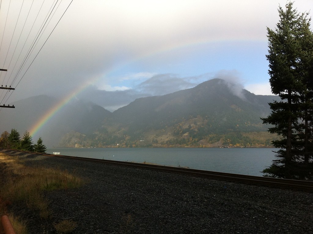
South Campground
Campground
Campground · 2.4 mi from the trail
Alert in the area
The Forest Service lists an alert for Columbia River Gorge National Scenic Area.
Eagle Creek Fire Area Closure - CRGNSA and Mt. Hood
Agency alert covering Columbia River Gorge National Scenic Area · Order 06-22-01-26-04 · USFS · Columbia River Gorge National Scenic Area
As of · Source: USFS · Columbia River Gorge National Scenic Area. Agencies don't list every closure — check before you go.
Hidden Trail is a short, steep mountain biking route in the Columbia River Gorge National Scenic Area in Oregon, about 0.17 miles from the start. It's an out-and-back with a total climb of 330 feet, so the one-way gain is about 115 feet. The route is rated hard, and the steepest stretch comes at about 0.11 miles in, with a 20% grade. Summer is the most comfortable time to ride. Typical averages from a nearby weather station in Snowden, Washington, show July and August highs around 79°F with lows near 49°F, while winter highs stay in the mid-30s. The 160 Trail and 140 Trail both start within a quarter mile, and the Viento Wall climbing area is about 2.6 miles away. Rainy Lake campground is about 6 miles off.
South Campground
Campground
 Eat afterVisitor7, CC BY-SA 3.0 · Wikimedia Commons
Double Mountain Brewery
Brewery
 If it rainsJmasterson, CC BY-SA 3.0 · Wikimedia Commons
Western Antique Aeroplane & Automobile Museum
Museum
Aviation and automobile museum in Oregon, United States
Places © OpenStreetMap contributors · Photos: Visitor7, CC BY-SA 3.0 (commons); Jmasterson, CC BY-SA 3.0 (commons)
More in Trout LakeNot on Roamze yet. Their page has how to reach them.
Best months: April–October. Best months have typical highs of 55–85 °F, lows of 30 °F or warmer (32 °F where the station doesn't record snow), at most one snowy day and no more than 12 wet days.
Jan
38° / 25°
Feb
42° / 26°
Mar
48° / 30°
Apr
55° / 35°
May
63° / 40°
Jun
68° / 44°
Jul
79° / 49°
Aug
79° / 49°
Sep
72° / 45°
Oct
58° / 37°
Nov
45° / 31°
Dec
36° / 25°
Typical high / low (°F) and days with rain or snow, 1991–2020. Measured at Snowden, WA, 17.7 mi away at 2,415 ft. This station doesn't record snowfall. Source: NOAA NCEI U.S. Climate Normals 1991–2020.
 Photo: Axcordion, CC BY-SA 3.0 (via Wikimedia Commons)
Mud Lake
~14 min drive
0.22-mile trail in Oregon with 79 ft of elevation gain
RIDE
Borderline Trail
Next door
0.67-mile hard singletrack out and back in Oregon with 93 ft gain.
RIDE
Sexy beast
~3 min drive
0.69-mile out-and-back singletrack with 233 ft gain in Oregon
RIDE
Float On 101
~4 min drive
0.56-mile easy out-and-back trail in Oregon with 139 ft gain.
Photo: Axcordion, CC BY-SA 3.0 (via Wikimedia Commons)Anthill
~15 min drive
0.49-mile trail at Rainy-Kingsley North Trailhead with 103 ft of elevation gain
RIDE
130 Moto Trail
~1 min drive
Hard singletrack out-and-back in Oregon, 0.87 miles, 306 ft gain.
RIDE
Green Point Connector Trail
~4 min drive
0.65-mile out-and-back singletrack in Oregon with 168 ft elevation gain.
RIDE
Starvation Ridge
~3 min drive
0.14-mile trail in Oregon with 95 ft of elevation gain
RIDE
Mitchell Ridge Trail
~4 min drive
1.17-mile hard out-and-back trail in Oregon with 240 ft elevation gain
RIDE
Mitchell Point
~5 min drive
Mitchell Point is a 0.69-mile trail in Oregon with 71 ft of elevation gain.
Map and trail data © OpenStreetMap contributors