Horton Slough Nature Trail
- 1.1 mi
- round trip
- 57 ft
- climb
- 469 ft
- high point
- Out and back
- route
- Mar–May, Sep–Nov
- best months
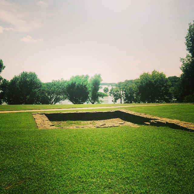
Horton Slough Nature Trail is a 1.09-mile out-and-back trail in Oklahoma managed by the Army Corps of Engineers. The route gains 52 feet of elevation and loses 57 feet over its round-trip distance.
 River TrailHiking · ~53 min drivePhoto: Farther Along, CC BY 2.0 (via Flickr)
 Choctaw Nation - North SpurHiking · ~1h 17m drivePhoto: Chasqui (Luis Tamayo), CC BY-SA 2.0 (via Flickr)
- Choctaw Nation TrailHiking · ~1h 19m drivePhoto: Chasqui (Luis Tamayo), CC BY-SA 2.0 (via Flickr)
- BoardstandHiking · ~1h 15m drive
 Butterfield Hiking TrailHiking · ~1h 21m drivePhoto: adam*b, CC BY 2.0 (via Flickr)
 Old Military RoadHiking · ~1h 17m drivePhoto: On the White Line, CC BY 2.0 (via Flickr)
- WEST OUTER LOOPHiking · ~1h 12m drive
- Wsm Eq - 1008Hiking · ~1h 21m drive
- Devil's Den TrailHiking · ~1h 20m drivePhoto: adam*b, CC BY 2.0 (via Flickr)
 Boardstand TrailHiking · ~1h 21m drivePhoto: Alex Butterfield, CC BY 2.0 (via Flickr)
Best time to visit Horton Slough Nature Trail
Best months: March–May and September–November. Best months have typical highs of 55–85 °F, lows of 30 °F or warmer (32 °F where the station doesn't record snow), at most one snowy day and no more than 12 wet days.
Jan
48° / 28°
5 wet
Feb
53° / 32°
6 wet
Mar
61° / 40°
7 wet
Apr
70° / 49°
8 wet
May
77° / 59°
9 wet
Jun
86° / 67°
8 wet
Jul
91° / 71°
6 wet
Aug
91° / 70°
6 wet
Sep
84° / 63°
7 wet
Oct
73° / 50°
7 wet
Nov
60° / 40°
6 wet
Dec
50° / 31°
6 wet
Typical high / low (°F) and days with rain or snow, 1991–2020. Measured at Sallisaw 2 Nw, OK, 9.5 mi away at 660 ft. Source: NOAA NCEI U.S. Climate Normals 1991–2020.
