Butterfield Hiking Trail
 Photo: adam*b, CC BY 2.0 (via Flickr)
- 1.3 mi
- round trip
- 268 ft
- climb
- 1,724 ft
- high point
- Out and back
- route
- Mar–Jul, Sep–Nov
- best months
Is Butterfield Hiking Trail open right now?
Closure in the area
There's a closure order in Ozark-St. Francis National Forest. It doesn't name Butterfield Hiking Trail, so check the source for the area it covers (6 listed).
Wildfire Risk Increases in Arkansas and Oklahoma
Agency closure covering Ozark-St. Francis National Forest · USFS · Ozark-St. Francis National Forest
Spring Lake Recreation Area Closed For Rest of 2026 Season
Agency closure covering Ozark-St. Francis National Forest · USFS · Ozark-St. Francis National Forest
Lake Wedington Recreation Area Water Line Project
Agency closure covering Ozark-St. Francis National Forest · USFS · Ozark-St. Francis National Forest
FSR 1806B Closed
Agency closure covering Ozark-St. Francis National Forest · USFS · Ozark-St. Francis National Forest
Sylamore District Flood and Tornado Closures
Agency closure covering Ozark-St. Francis National Forest · USFS · Ozark-St. Francis National Forest
As of · Source: USFS · Ozark-St. Francis National Forest. Agencies don't list every closure — check before you go.
Butterfield Hiking Trail is a short, easy out-and-back hike in the Boston Mountain Ranger District of the Ozark-St. Francis National Forest in Arkansas, managed by the Forest Service. The trail is about 1.3 miles long, with a total elevation gain of 268 feet, and it starts at roughly 1,510 feet, rising to a high point of about 1,724 feet before returning to the start. Spring and fall are the most comfortable times to go. Typical averages from a nearby weather station show May highs around 73°F and October highs around 68°F, while July and August average in the mid-80s. The trail is rated easy and takes about half an hour to complete. Bikes are allowed, and the surface is natural. It is open year-round. Devil's Den Trail is about 0.6 miles away, and the Sparky to Orville mountain biking route is about 0.8 miles off. Lee Creek, a canoeing spot, is about 3.8 miles away, and the Bradford East Outer Loop is about 4.7 miles away.
Local outfitters
- Kings River Outfitters49 mi away
Not on Roamze yet. Their page has how to reach them.
- Devil's Den TrailHikingPhoto: adam*b, CC BY 2.0 (via Flickr)0.6 mi
- Sparky to OrvilleMountain biking0.8 mi
- Lee CreekCanoeing3.8 mi
- BRADFORD EAST OUTER LOOPHiking4.7 mi
- BRADFORD EASY LOOPHiking4.8 mi
- WEST OUTER LOOP SHORTCUT MHiking5.4 mi
- EASY PINE OUTER LOOP WESTHiking5.9 mi
- Main BlufflineRock climbing9 mi
Source: Roamze catalog (indexable pages within 10 miles, PostGIS distance)
- Devil's Den TrailHiking · ~1 min drivePhoto: adam*b, CC BY 2.0 (via Flickr)
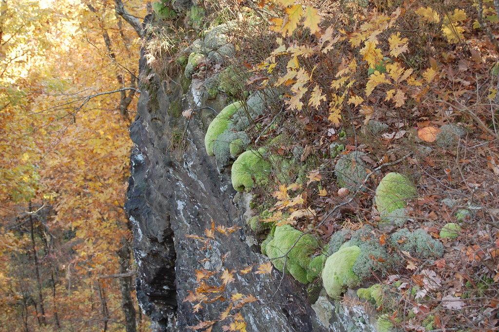 Ozark Highlands TrailHiking · ~30 min drivePhoto: adam*b, CC BY 2.0 (via Flickr)
- BRADFORD EAST OUTER LOOPHiking · ~8 min drive
- White Rock-Shores Lake WestHiking · ~31 min drive
- White Rock Mtn Rim LoopHiking · ~29 min drivePhoto: adam*b, CC BY 2.0 (via Flickr)
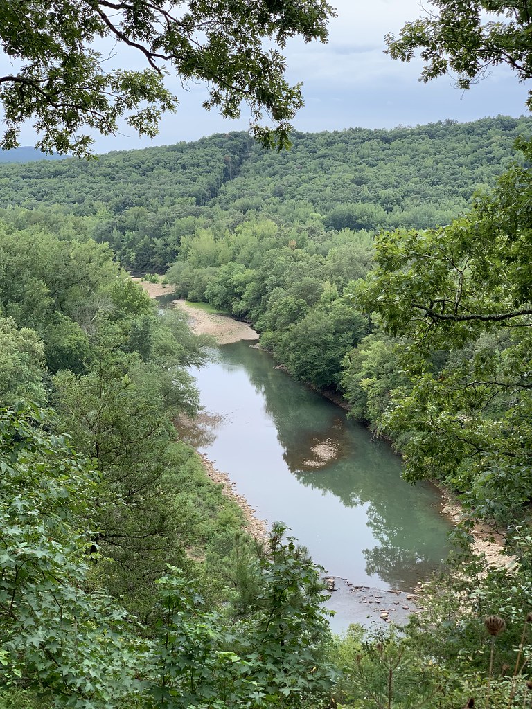 Redding Loop East-Oht SpursHiking · ~45 min drivePhoto: SlapTheWorld, Public Domain Dedication (CC0) (via Flickr)
- WEST OUTER LOOPHiking · ~10 min drive
- Western DonHiking · ~40 min drive
- White Rock Mountain Rim TrailHiking · ~29 min drivePhoto: adam*b, CC BY 2.0 (via Flickr)
- BRADFORD EASY LOOPHiking · ~8 min drive
Best time to visit Butterfield Hiking Trail
Best months: March–July and September–November. Best months have typical highs of 55–85 °F, lows of 30 °F or warmer (32 °F where the station doesn't record snow), at most one snowy day and no more than 12 wet days.
Jan
44° / 28°
Feb
49° / 30°
Mar
57° / 37°
Apr
66° / 48°
May
73° / 56°
Jun
82° / 65°
Jul
85° / 69°
Aug
87° / 69°
Sep
78° / 61°
Oct
68° / 51°
Nov
55° / 40°
Dec
46° / 30°
Typical high / low (°F) and days with rain or snow, 1991–2020. Measured at Winslow 7ne, AR, 13.3 mi away at 2,189 ft. This station doesn't record snowfall. Source: NOAA NCEI U.S. Climate Normals 1991–2020.
