Greenfield Campground
Campground
Campground · 1.3 mi from the trail
 Photo: Matthew Applewood, CC BY-SA 3.0 (via Wikimedia Commons)
Mount Jefferson is a summit in North Carolina, rising to 4,634 feet about 1.5 miles from the town of Jefferson. It sits at the center of a cluster of short trails, with the Lost Province Trail starting just 0.1 mile away and the Rhododendron Trail and Summit Trail within half a mile. Summer is the most comfortable time to visit. Typical averages from a nearby weather station at Blowing Rock, which sits about 780 feet lower, show July highs around 77°F with lows near 60°F, while winter highs stay in the upper 30s. Several other trails lie within a few miles, including the Shagbark Hickory Loop at 2.4 miles and the Cohosh Loop at 2.5 miles. For fishing, the South Fork New River is about 10 miles away.
Greenfield Campground
Campground
Morchella Provisions
Restaurant
Luther Rock
Viewpoint
Places © OpenStreetMap contributors
More in JeffersonDaily highs and lows, wind and the chance of precipitation at the summit and route start for the next 7 days, from the Open-Meteo model.
Elevation from USGS 3D Elevation Program terrain data (about 10 m resolution).
| Lost Province Trail | Rhododendron Trail | |
|---|---|---|
| Climbing | About 226 ft | About 742 ft |
| Round trip | 0.6 mi | 1.6 mi |
| Difficulty | Moderate | Moderate |
| Terrain | Hike | Hike |
4,634 ft (1,412 m).
2: Lost Province Trail and Rhododendron Trail.
Lost Province Trail, about 0.6 mi.
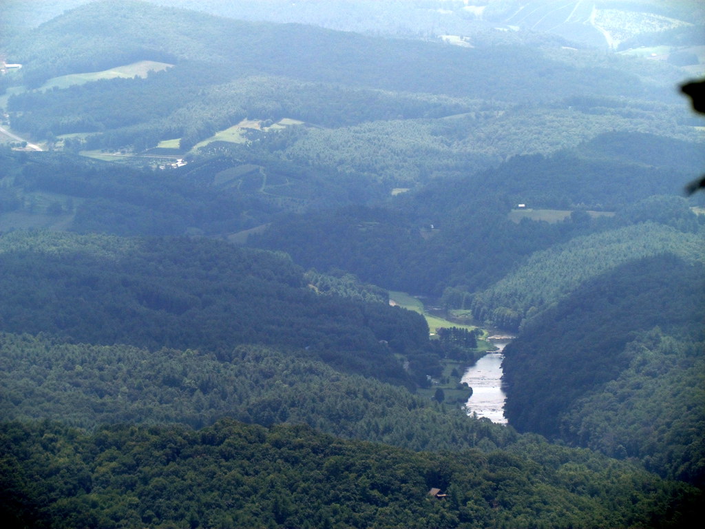 Lost Province TrailHikingPhoto: bobistraveling, CC BY 2.0 (via Flickr)0.1 miRhododendron TrailHikingPhoto: bobistraveling, CC BY 2.0 (via Flickr)0.4 miSummit TrailHikingPhoto: bobistraveling, CC BY 2.0 (via Flickr)0.5 mi
Source: Roamze catalog (indexable pages within 10 miles, PostGIS distance)
 Three Top MountainSummit · ~12 min drivePhoto: James St. John, CC BY 2.0 (via Wikimedia Commons)
 Howard KnobSummit · ~29 min drivePhoto: Bigmacthealmanac, CC BY-SA 4.0 (via Wikimedia Commons)
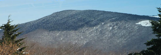 Mount RogersSummit · ~32 min drivePhoto: USDA-FS, Public domain (via Wikimedia Commons)
 Hanging RockSummit · ~45 min drivePhoto: Thomson200, CC0 (via Wikimedia Commons)
 Beech MountainSummit · ~48 min drivePhoto: Thomson200, CC0 (via Wikimedia Commons)
 Peak MountainSummit · ~48 min drivePhoto: Mark Clifton, CC BY-SA 2.0 (via Wikimedia Commons)
 Sugar MountainSummit · ~51 min drivePhoto: Mark Clifton, CC BY-SA 2.0 (via Wikimedia Commons)
 Flattop MountainSummit · ~52 min drivePhoto: Mark Clifton, CC BY-SA 2.0 (via Wikimedia Commons)
Best months: April–October. Best months have typical highs of 55–85 °F, lows of 30 °F or warmer (32 °F where the station doesn't record snow), at most one snowy day and no more than 12 wet days.
Jan
39° / 21°
Feb
42° / 24°
Mar
50° / 30°
Apr
60° / 40°
May
66° / 48°
Jun
73° / 55°
Jul
77° / 60°
Aug
75° / 58°
Sep
70° / 53°
Oct
60° / 42°
Nov
51° / 32°
Dec
42° / 26°
Typical high / low (°F) and days with rain or snow, 1991–2020. Measured at Blowing Rock 1nw, NC, 22.1 mi away at 3,850 ft. The station sits about 800 ft lower than this place, so expect it a little cooler here. This station doesn't record snowfall. Source: NOAA NCEI U.S. Climate Normals 1991–2020.
