Grandfather Campground
Campground
Campground · 1.7 mi from the trail
 Photo: Thomson200, CC0 (via Wikimedia Commons)
Closure in the area
There's a closure order in National Forests in North Carolina. It doesn't name Hanging Rock, so check the source for the area it covers (2 listed).
Maple Sally Road Closure
Agency closure covering National Forests in North Carolina · USFS · National Forests in North Carolina
Table Rock Road construction starts Nov. 2, 2026
Agency closure covering National Forests in North Carolina · USFS · National Forests in North Carolina
Temporary Closure - The Elk Falls Trail
Agency alert covering National Forests in North Carolina · USFS · National Forests in North Carolina
Rainbow Springs Road closed for reconstruction
Agency alert covering National Forests in North Carolina · USFS · National Forests in North Carolina
Siddie Fields Day Use Area closed for improvements
Agency alert covering National Forests in North Carolina · USFS · National Forests in North Carolina
As of · Source: USFS · National Forests in North Carolina. Agencies don't list every closure — check before you go.
Hanging Rock is a summit of 5,212 feet in the Grandfather Ranger District of the National Forests in North Carolina, about 0.7 miles from the community of Seven Devils. It sits at a high point in the district, and its elevation makes it a natural anchor for exploring the surrounding trails and climbing areas. Summer is the most comfortable time to visit. Typical averages from a nearby weather station at a similar elevation show July highs around 72°F with lows near 58°F, while winter highs stay in the 30s and 40s. Several trails lie close by. The Chestnut Trail is about 1.7 miles away and the Profile Trail about 2.1 miles. Climbers can head to Holloway Mountain, roughly 3.6 miles off, and Julian Price Memorial Park Campground is about 5.3 miles away for an overnight stay.
Grandfather Campground
Campground
Places © OpenStreetMap contributors
More in Spruce PineDaily highs and lows, wind and the chance of precipitation at the summit for the next 7 days, from the Open-Meteo model.
Elevation from USGS 3D Elevation Program terrain data (about 10 m resolution).
We don't know of a mapped trail or route to the summit of Hanging Rock. Plan the approach with local maps, a guidebook or a local guide, and check conditions before you go.
5,212 ft (1,589 m).
We don't know of a mapped trail or route to the summit. Plan the approach with local maps, a guidebook or a local guide.

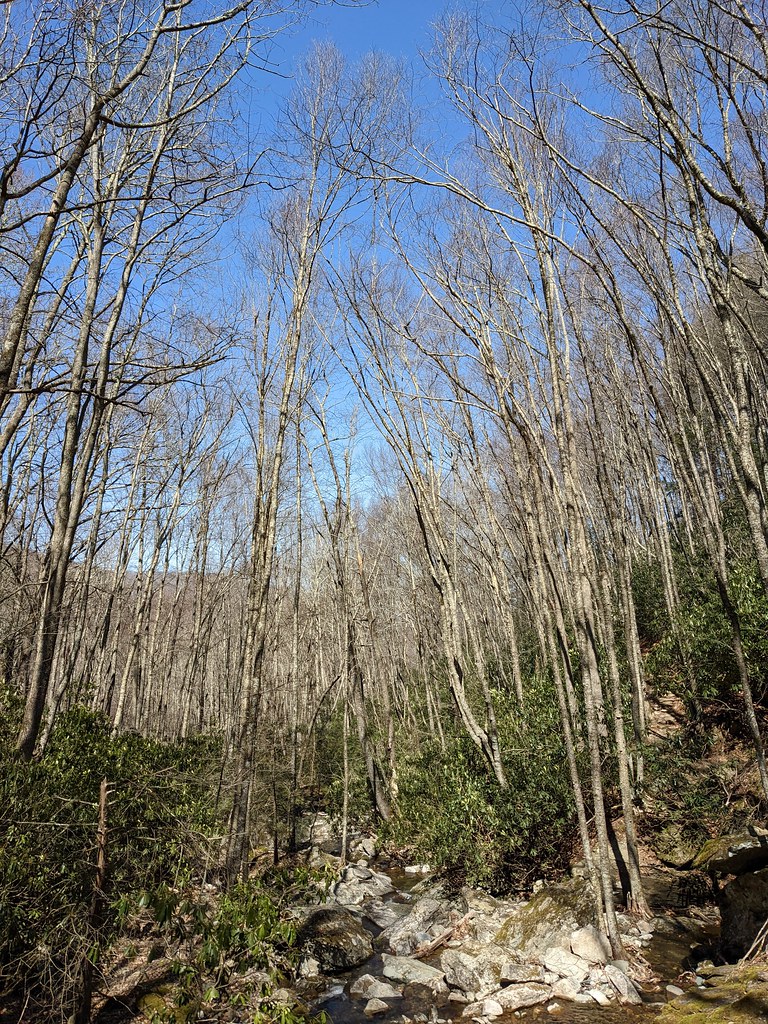 Profile TrailHikingPhoto: npdoty, CC BY 2.0 (via Flickr)2.1 mi
 Upper TierRock climbingPhoto: pmuellr, CC BY 2.0 (via Flickr)4 mi
Source: Roamze catalog (indexable pages within 10 miles, PostGIS distance)
 Peak MountainSummit · ~3 min drivePhoto: Mark Clifton, CC BY-SA 2.0 (via Wikimedia Commons)
 Sugar MountainSummit · ~6 min drivePhoto: Mark Clifton, CC BY-SA 2.0 (via Wikimedia Commons)
 Flattop MountainSummit · ~6 min drivePhoto: Mark Clifton, CC BY-SA 2.0 (via Wikimedia Commons)
 Beech MountainSummit · ~7 min drivePhoto: Thomson200, CC0 (via Wikimedia Commons)Brier KnobSummit · ~10 min drivePhoto: Mark Clifton, CC BY-SA 2.0 (via Wikimedia Commons)
 Pixie MountainSummit · ~12 min drivePhoto: Mark Clifton, CC BY-SA 2.0 (via Wikimedia Commons)Bee MountainSummit · ~15 min drivePhoto: Thomson200, CC0 (via Wikimedia Commons)
 Howard KnobSummit · ~17 min drivePhoto: Bigmacthealmanac, CC BY-SA 4.0 (via Wikimedia Commons)
 Big Yellow MountainSummit · ~20 min drivePhoto: Thomson200, CC0 (via Wikimedia Commons)
 Grassy Ridge BaldSummit · ~25 min drivePhoto: Thomson200, CC0 (via Wikimedia Commons)
Best months: September–October. Best months have typical highs of 55–85 °F, lows of 30 °F or warmer (32 °F where the station doesn't record snow), at most one snowy day and no more than 12 wet days.
Jan
37° / 21°
14 wet
Feb
40° / 23°
13 wet
Mar
46° / 29°
14 wet
Apr
55° / 38°
14 wet
May
62° / 47°
15 wet
Jun
69° / 54°
16 wet
Jul
72° / 58°
16 wet
Aug
71° / 57°
16 wet
Sep
66° / 51°
12 wet
Oct
57° / 41°
12 wet
Nov
48° / 32°
11 wet
Dec
42° / 26°
13 wet
Typical high / low (°F) and days with rain or snow, 1991–2020. Measured at Grandfather Mtn, NC, 4 mi away at 5,280 ft. This station doesn't record snowfall. Source: NOAA NCEI U.S. Climate Normals 1991–2020.
