Greenfield Campground
Campground
Campground · 1.3 mi from the trail
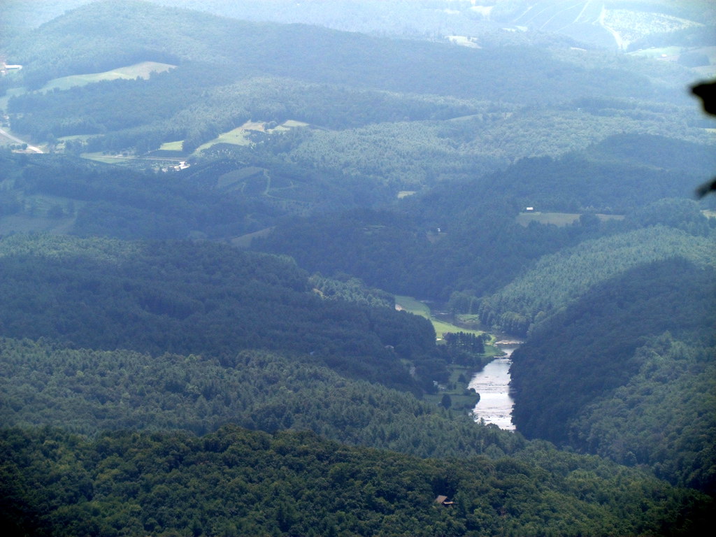 Photo: bobistraveling, CC BY 2.0 (via Flickr)
Lost Province Trail is a 0.59-mile loop in North Carolina, about 1.6 miles from the town of Jefferson. The trail starts at 4,603 feet and reaches a high point of 4,603 feet, so it is a loop that returns to its starting elevation. The climb is back-loaded, with the steepest stretch at about 0.15 miles in, where the grade reaches 11 percent. The total elevation gain is 226 feet, and the total loss is 270 feet, which makes the trail a moderate outing. Summer is the most comfortable time to go. Typical averages from a nearby weather station at Blowing Rock show July highs around 77°F with lows near 60°F, and the station sits about 750 feet lower than the trail, so temperatures on the trail run cooler. The trip takes about half an hour. The Rhododendron Trail and the Summit Trail both lie about 0.4 miles away, and the Shagbark Hickory Loop is about 2.3 miles off. For fishing, the South Fork New River is about 9.9 miles away.
Greenfield Campground
Campground
Morchella Provisions
Restaurant
Luther Rock
Viewpoint
Places © OpenStreetMap contributors
More in JeffersonNot on Roamze yet. Their page has how to reach them.
Daily highs and lows, wind and the chance of precipitation at the summit and route start for the next 7 days, from the Open-Meteo model.
Rhododendron TrailHikingPhoto: bobistraveling, CC BY 2.0 (via Flickr)0.4 miSummit TrailHikingPhoto: bobistraveling, CC BY 2.0 (via Flickr)0.4 miSource: Roamze catalog (indexable pages within 10 miles, PostGIS distance)
Rhododendron TrailHiking · Next doorPhoto: bobistraveling, CC BY 2.0 (via Flickr) Mountains-to-Sea TrailHiking · ~15 min drivePhoto: Chris Hunkeler, CC BY-SA 2.0 (via Flickr)
 Mountains-to-Sea TrailHiking · ~20 min drivePhoto: pedrik, CC BY 2.0 (via Flickr)Summit TrailHiking · Next doorPhoto: bobistraveling, CC BY 2.0 (via Flickr)
 Mountains-to-Sea TrailHiking · ~18 min drivePhoto: pmuellr, CC BY 2.0 (via Flickr)Mountains-to-Sea TrailHiking · ~15 min drivePhoto: Chris Hunkeler, CC BY-SA 2.0 (via Flickr)
 Cascades TrailHiking · ~18 min drivePhoto: Chris Hunkeler, CC BY-SA 2.0 (via Flickr)Mountains-to-Sea TrailHiking · ~16 min drivePhoto: Chris Hunkeler, CC BY-SA 2.0 (via Flickr)
 Tompkins Knob TrailHiking · ~18 min drivePhoto: Chris Hunkeler, CC BY-SA 2.0 (via Flickr)Mountains-to-Sea TrailHiking · ~17 min drivePhoto: pmuellr, CC BY 2.0 (via Flickr)
Best months: April–October. Best months have typical highs of 55–85 °F, lows of 30 °F or warmer (32 °F where the station doesn't record snow), at most one snowy day and no more than 12 wet days.
Jan
39° / 21°
Feb
42° / 24°
Mar
50° / 30°
Apr
60° / 40°
May
66° / 48°
Jun
73° / 55°
Jul
77° / 60°
Aug
75° / 58°
Sep
70° / 53°
Oct
60° / 42°
Nov
51° / 32°
Dec
42° / 26°
Typical high / low (°F) and days with rain or snow, 1991–2020. Measured at Blowing Rock 1nw, NC, 22.1 mi away at 3,850 ft. The station sits about 800 ft lower than this place, so expect it a little cooler here. This station doesn't record snowfall. Source: NOAA NCEI U.S. Climate Normals 1991–2020.
About 0.6 mi.
About 226 ft of climbing round trip.
It is rated moderate.
About 0.5 hours round trip.
2: Lost Province Trail and Rhododendron Trail.
Map and trail data © OpenStreetMap contributors

