Greenfield Campground
Campground
Campground · 2.0 mi from the trail
Cohosh Loop is a 1.7-mile loop hike in North Carolina, about 0.6 miles from the town of West Jefferson. The trail rises from a low point of 3,420 feet to a high of 3,629 feet, with a total elevation gain of 330 feet. The climb is rolling, and the steepest stretch comes at about 1 mile, where the grade reaches 11 percent. The route is rated easy, and the round trip is estimated to take about half an hour. For comfortable weather, aim for late spring or early fall. Typical averages from a nearby weather station in Jefferson show May highs around 71°F and September highs around 75°F, with October bringing the fewest wet days of the year. That station sits roughly 870 feet lower than the trail's high point, so temperatures on the loop run cooler. Shagbark Hickory Loop lies just 0.1 mile away. Summit Trail and Rhododendron Trail are each about 2 miles off, and the South Fork New River offers river fishing about 9 miles away.
Greenfield Campground
Campground
Catch Light Gallery
Gallery
Places © OpenStreetMap contributors, Places © Overture Maps Foundation
More in JeffersonNot on Roamze yet. Their page has how to reach them.
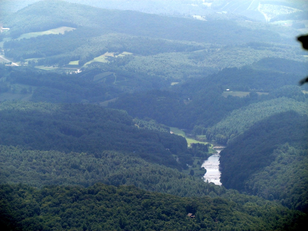 Summit TrailHikingPhoto: bobistraveling, CC BY 2.0 (via Flickr)2.1 miRhododendron TrailHikingPhoto: bobistraveling, CC BY 2.0 (via Flickr)2.1 miLost Province TrailHikingPhoto: bobistraveling, CC BY 2.0 (via Flickr)2.5 mi
Source: Roamze catalog (indexable pages within 10 miles, PostGIS distance)
Summit TrailHiking · ~4 min drivePhoto: bobistraveling, CC BY 2.0 (via Flickr) Mountains-to-Sea TrailHiking · ~18 min drivePhoto: Chris Hunkeler, CC BY-SA 2.0 (via Flickr)
 Mountains-to-Sea TrailHiking · ~21 min drivePhoto: pedrik, CC BY 2.0 (via Flickr)Rhododendron TrailHiking · ~4 min drivePhoto: bobistraveling, CC BY 2.0 (via Flickr)
 Mountains-to-Sea TrailHiking · ~19 min drivePhoto: pmuellr, CC BY 2.0 (via Flickr)Lost Province TrailHiking · ~4 min drivePhoto: bobistraveling, CC BY 2.0 (via Flickr)
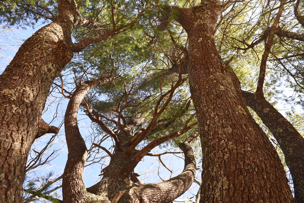 Cascades TrailHiking · ~20 min drivePhoto: Chris Hunkeler, CC BY-SA 2.0 (via Flickr)Mountains-to-Sea TrailHiking · ~18 min drivePhoto: pmuellr, CC BY 2.0 (via Flickr)
 Tompkins Knob TrailHiking · ~20 min drivePhoto: Chris Hunkeler, CC BY-SA 2.0 (via Flickr)Mountains-to-Sea TrailHiking · ~19 min drivePhoto: Chris Hunkeler, CC BY-SA 2.0 (via Flickr)
Best months: April–October. Best months have typical highs of 55–85 °F, lows of 30 °F or warmer (32 °F where the station doesn't record snow), at most one snowy day and no more than 12 wet days.
Jan
43° / 22°
8 wet
Feb
47° / 24°
7 wet
Mar
53° / 29°
8 wet
Apr
63° / 36°
8 wet
May
71° / 45°
10 wet
Jun
78° / 53°
10 wet
Jul
81° / 58°
10 wet
Aug
80° / 57°
9 wet
Sep
75° / 50°
7 wet
Oct
65° / 39°
6 wet
Nov
55° / 29°
6 wet
Dec
47° / 24°
8 wet
Typical high / low (°F) and days with rain or snow, 1991–2020. Measured at Jefferson 2 E, NC, 4.1 mi away at 2,759 ft. The station sits about 900 ft lower than this place, so expect it a little cooler here. This station doesn't record snowfall. Source: NOAA NCEI U.S. Climate Normals 1991–2020.
Map and trail data © OpenStreetMap contributors

