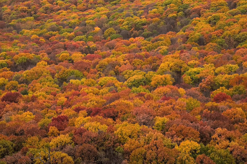
Tiorati Plateau
Campground
Campground · 3.3 mi from the trail
Caution today
Weather is marginal · OpenWeather · checked 9 h ago
Horn Hill Loop is a short cross-country ski route in Harriman State Park in New York, managed by State Park and Recreation. The loop is an out-and-back of about 0.8 miles, with a total elevation gain of 82 feet from a low point of 577 feet to a high of 610 feet. The climb is gentle, with the steepest stretch at about 6% grade near the start. Winter is the natural season for this route. Typical averages from a nearby weather station at West Point show January highs around 36°F with lows near 21°F and a few snow days each month from December through March. That station sits about 300 feet lower than the loop, so temperatures on the hill run a little cooler. Several other routes lie close by. Horns Route and Fawn are both hikes within a mile, and the Suffern-Bear Mountain Trail, another cross-country ski route, is about 1.1 miles away. Climbers can find Harriman State Park climbing area roughly 5.8 miles off.
Tiorati Plateau
Campground
 If it rainsDaniel Case, CC BY-SA 3.0 · Wikimedia Commons
American Revolutionary War fort near West Point on the Hudson River
Places © OpenStreetMap contributors, Places © Overture Maps Foundation · Photos: Daniel Case, CC BY-SA 3.0 (commons)
More in New Windsor FawnHikingPhoto: Schezar, CC BY 2.0 (via Flickr)0.9 mi
 Croton RiverCanoeingPhoto: PointsofNoReturn, CC BY-SA 4.0 (via Wikimedia Commons)9.8 mi
Source: Roamze catalog (indexable pages within 10 miles, PostGIS distance)
 Mountain CreekDownhill skiing · ~46 min drivePhoto: NHRHS2010, CC BY-SA 3.0 (via Wikimedia Commons)
Also worth it near here
Best months: April–October. Best months have typical highs of 55–85 °F, lows of 30 °F or warmer (32 °F where the station doesn't record snow), at most one snowy day and no more than 12 wet days.
Jan
36° / 21°
10 wet · 3 snow
Feb
39° / 22°
8 wet · 3 snow
Mar
47° / 30°
10 wet · 2 snow
Apr
60° / 41°
10 wet
May
72° / 51°
12 wet
Jun
80° / 60°
11 wet
Jul
85° / 65°
10 wet
Aug
83° / 64°
9 wet
Sep
76° / 57°
8 wet
Oct
63° / 46°
10 wet
Nov
51° / 36°
9 wet
Dec
41° / 27°
10 wet · 2 snow
Typical high / low (°F) and days with rain or snow, 1991–2020. Measured at West Point, NY, 7.7 mi away at 320 ft. Source: NOAA NCEI U.S. Climate Normals 1991–2020.
Map and trail data © OpenStreetMap contributors