Sno-bird
Campground
Campground · 3.3 mi from the trail
Short Job Trail is a short, easy out-and-back hike in New York's High Peaks Wilderness, managed by the State Department of Conservation. The trail is about 0.33 miles long, and the round trip covers roughly 0.66 miles with a total elevation gain of about 417 feet. The climb is front-loaded, with the steepest stretch at about 0.26 miles in, and the high point sits at 2,814 feet. Summer is the most comfortable time to go. Typical averages from a nearby weather station at Lake Placid show July highs around 74°F with lows near 54°F, and the station sits well below the trail, so temperatures on the high peaks run cooler. The trail makes an easy pairing with other routes in the area. Orebed Brook Trail starts just 0.1 mile away, and Southside Trail and Woodsfall Trail are each about 0.6 mile off. Climbers can head to the E: High Peaks Region climbing area, about 1.1 miles away.
Sno-bird
Campground
Schroon Lake view
Viewpoint
Places © OpenStreetMap contributors
More in Schroon LakeNot on Roamze yet. Their page has how to reach them.
No month here meets our mild-weather rule. Best months have typical highs of 55–85 °F, lows of 30 °F or warmer (32 °F where the station doesn't record snow), at most one snowy day and no more than 12 wet days.
Jan
23° / 6°
18 wet
Feb
27° / 8°
14 wet
Mar
36° / 16°
14 wet
Apr
49° / 29°
14 wet
May
62° / 40°
15 wet
Jun
70° / 49°
14 wet
Jul
74° / 54°
14 wet
Aug
73° / 52°
13 wet
Sep
66° / 45°
13 wet
Oct
52° / 35°
15 wet
Nov
40° / 25°
16 wet
Dec
28° / 14°
18 wet
Typical high / low (°F) and days with rain or snow, 1991–2020. Measured at Lake Placid 2 S, NY, 12 mi away at 1,888 ft. The station sits about 900 ft lower than this place, so expect it a little cooler here. This station doesn't record snowfall. Source: NOAA NCEI U.S. Climate Normals 1991–2020.
 Photo: matt.a, CC BY 3.0 (via Wikimedia Commons)
Southside Trail
~1 min drive
2.51-mile point-to-point trail in New York with 711 ft gain.
 Photo: matt.a, CC BY 3.0 (via Wikimedia Commons)
Yard Mountain Trail
~2 min drive
2.21-mile point-to-point trail in New York with 1,572 ft gain
 Photo: matt.a, CC BY 3.0 (via Wikimedia Commons)
Hedgehog Trail
~5 min drive
1.38-mile point-to-point trail in New York with 1,076 ft elevation gain.
Photo: matt.a, CC BY 3.0 (via Wikimedia Commons)Southside Trail - High Water Route
~2 min drive
0.58-mile out-and-back trail in New York with 216 ft gain.
Photo: matt.a, CC BY 3.0 (via Wikimedia Commons)Big Slide Trail
~3 min drive
2.02-mile point-to-point trail in New York with 1,720 ft elevation loss
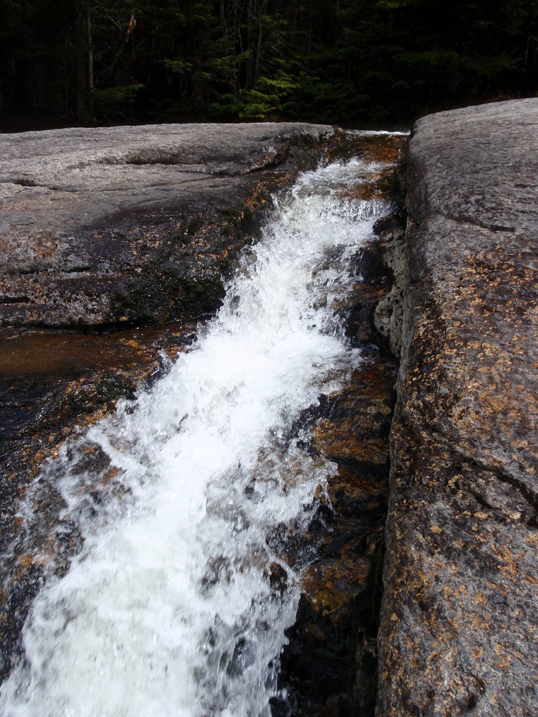 Photo: drsmith7383, CC BY 2.0 (via Flickr)
State Range Trail
~6 min drive
2.78-mile point-to-point hike in New York with 2,402 ft of elevation gain.
Photo: matt.a, CC BY 3.0 (via Wikimedia Commons)Klondike Notch Trail
~2 min drive
4.95-mile point-to-point trail in New York with 401 ft gain and 2,158 ft loss.
 Photo: daveynin, CC BY 2.0 (via Flickr)
Sawteeth Trail
~4 min drive
0.41-mile point-to-point trail in New York with 466 ft elevation gain
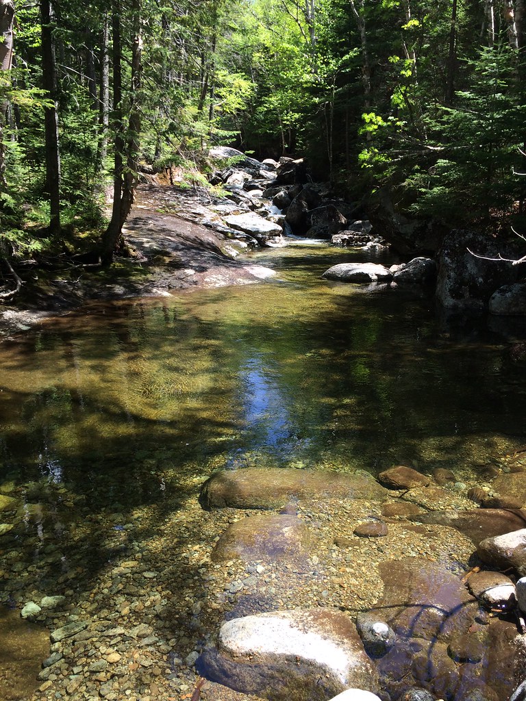 Photo: seabamirum, CC BY 2.0 (via Flickr)
Tabletop Mountain Trail
~6 min drive
0.70-mile point-to-point trail in New York with 784 ft elevation gain.
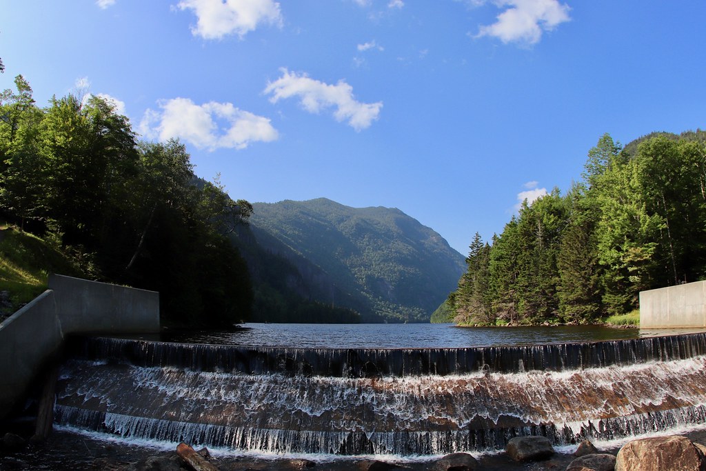 Photo: daveynin, CC BY 2.0 (via Flickr)
East River Trail
~5 min drive
3.06-mile point-to-point trail in New York with 525 ft gain.
Map and trail data © OpenStreetMap contributors

