Draper's Acres Campground
Campground
Campground · 4.0 mi from the trail
 Photo: matt.a, CC BY 3.0 (via Wikimedia Commons)
Big Slide Trail is a 2-mile hike in New York's High Peaks Wilderness, managed by the State Department of Conservation. It is a point-to-point route with a back-loaded climb, starting at about 3,931 feet and rising to 4,249 feet at its high point. The trail gains about 1,621 feet and loses about 1,720 feet over the course of the trip, which takes roughly 1.5 hours. The route is rated moderate, and it is not open to horses or bikes. The trail's back-loaded profile means the steepest stretch comes later in the hike. Several other destinations sit within a short distance. The Courthouse climbing area and the Klondike Notch Trail are each about 1.3 miles away, and the Yard Mountain Trail is about 1.3 miles off. Paddlers can reach the West Branch Ausable River, about 4.6 miles away.
Draper's Acres Campground
Campground
Schroon Lake view
Viewpoint
Places © OpenStreetMap contributors
More in Schroon LakeNot on Roamze yet. Their page has how to reach them.
Photo: matt.a, CC BY 3.0 (via Wikimedia Commons)Klondike Notch Trail
~2 min drive
4.95-mile point-to-point trail in New York with 401 ft gain and 2,158 ft loss.
Photo: matt.a, CC BY 3.0 (via Wikimedia Commons)Yard Mountain Trail
~2 min drive
2.21-mile point-to-point trail in New York with 1,572 ft gain
 Photo: matt.a, CC BY 3.0 (via Wikimedia Commons)
Hedgehog Trail
~5 min drive
1.38-mile point-to-point trail in New York with 1,076 ft elevation gain.
 Photo: matt.a, CC BY 3.0 (via Wikimedia Commons)
Southside Trail
~3 min drive
2.51-mile point-to-point trail in New York with 711 ft gain.
 Photo: matt.a, CC BY 3.0 (via Wikimedia Commons)
Porter Ridge Trail
~4 min drive
4-mile point-to-point trail in New York with 3,371 ft descent.
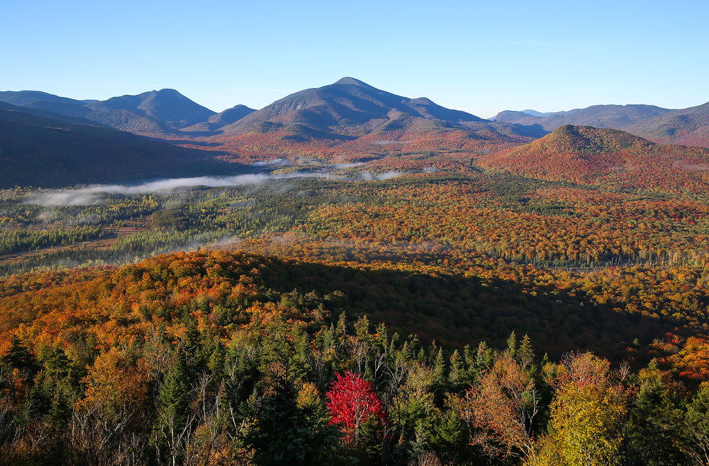 Photo: Jonathan Miske, CC BY-SA 2.0 (via Flickr)
Future Cascade Trail (Under construction)
~5 min drive
7.62-mile out-and-back hike in New York with 2,664 ft elevation gain and loss.
Photo: matt.a, CC BY 3.0 (via Wikimedia Commons)Southside Trail - High Water Route
~3 min drive
0.58-mile out-and-back trail in New York with 216 ft gain.
Photo: matt.a, CC BY 3.0 (via Wikimedia Commons)Porter Mountain Trail
~4 min drive
Quick point-to-point climb to Porter Mountain with scenic views.
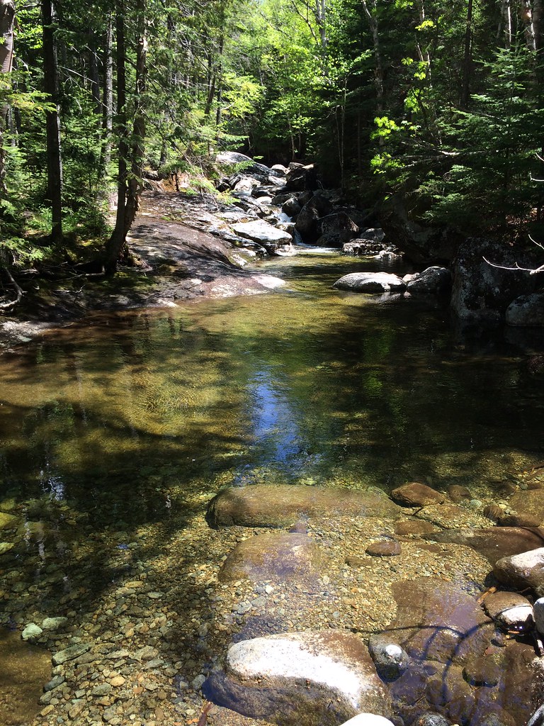 Photo: seabamirum, CC BY 2.0 (via Flickr)
Phelps Mountain Trail
~7 min drive
1.02-mile point-to-point hike in New York with 1,243 ft of elevation gain.
 Photo: runJMrun, CC BY 2.0 (via Flickr)
Mr. Van Ski Trail
~5 min drive
3.4-mile out-and-back ski trail in New York with 651 ft elevation gain
About 2.0 mi.
About 1,621 ft of climbing round trip.
It is rated moderate.
About 1 hour round trip.
2: Big Slide Trail and Yard Mountain Trail.
Daily highs and lows, wind and the chance of precipitation at the summit and route start for the next 7 days, from the Open-Meteo model.
Map and trail data © OpenStreetMap contributors

