Calamity Brook
Campground
Campground · 4.4 mi from the trail
Santanoni Express Trail is a 1.4-mile point-to-point hike in New York's High Peaks, a land unit managed by a non-governmental organization. The trail rises from about 2,800 feet to 4,565 feet, a steady climb of 1,725 feet, and is rated moderate. The steepest stretch comes at about 0.7 miles in, where the grade reaches 45 percent. The route is a direct line from the lower end to the high point, with only a small drop of 73 feet on the way back. Bikes and horses are not allowed, so plan on walking the whole way. The Panther Brook Trail lies about half a mile away, and the Santanoni Trail and Couchsachraga Trail are both within about a mile and a half. For a longer outing, the Indian Pass Trail is roughly 2.6 miles off.
Calamity Brook
Campground
Loui's Place
Bar and grill restaurant
Schroon Lake view
Viewpoint
Places © OpenStreetMap contributors, Places © Overture Maps Foundation
More in Schroon LakeNot on Roamze yet. Their page has how to reach them.
Daily highs and lows, wind and the chance of precipitation at the summit and route start for the next 7 days, from the Open-Meteo model.
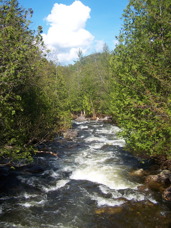 Indian Pass TrailHikingPhoto: andyarthur, CC BY 2.0 (via Flickr)2.6 mi
 Mt ColdenRock climbingPhoto: jbylund, CC BY-SA 2.0 (via Flickr)7.9 mi
Source: Roamze catalog (indexable pages within 10 miles, PostGIS distance)
Indian Pass TrailHiking · ~4 min drivePhoto: andyarthur, CC BY 2.0 (via Flickr) Calamity Brook - Indian Pass Crossover TrailHiking · ~6 min drivePhoto: andyarthur, CC BY 2.0 (via Flickr)
 Mount Colden TrailHiking · ~12 min drivePhoto: runJMrun, CC BY 2.0 (via Flickr)
 Bradley Pond TrailHiking · ~6 min drivePhoto: ke9tv, CC BY-SA 2.0 (via Flickr)
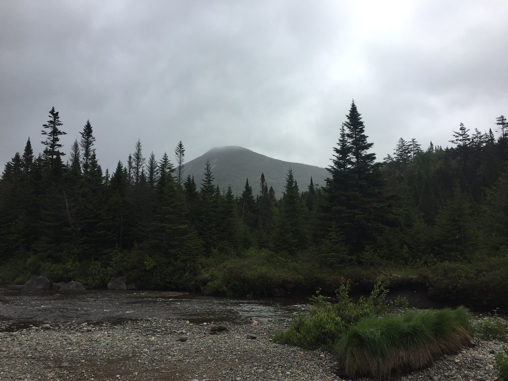 Livingston Point Spur TrailHiking · ~10 min drivePhoto: runJMrun, CC BY 2.0 (via Flickr)
 Preston Ponds TrailHiking · ~7 min drivePhoto: ke9tv — CC BY-SA 2.0 (via Flickr)
 Northville-Placid Trail Spur to Cold R. Lean-TosHiking · ~13 min drivePhoto: ke9tv, CC BY-SA 2.0 (via Flickr)
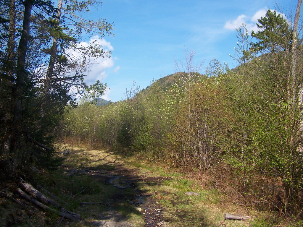 Calamity Brook TrailHiking · ~8 min drivePhoto: andyarthur, CC BY 2.0 (via Flickr)Calkins Brook Truck TrailHiking · ~13 min drivePhoto: ke9tv, CC BY-SA 2.0 (via Flickr)
About 1.4 mi.
About 1,725 ft of climbing round trip.
It is rated moderate.
About 1.5 hours round trip.
2: Santanoni Trail and Santanoni Express Trail.
Map and trail data © OpenStreetMap contributors

