Northville-Placid Trail Spur to Cold R. Lean-Tos
 Photo: ke9tv, CC BY-SA 2.0 (via Flickr)
- 0.5 mi
- round trip
- 124 ft
- climb
- 1,699 ft
- high point
- Out and back
- route
- Aug–Sep
- best months
The Northville-Placid Trail Spur to Cold R. Lean-Tos is a short, easy hike in the High Peaks Wilderness of New York, managed by the State Department of Conservation. The route is about a mile long, with a total elevation gain of 124 feet, and it makes a simple out-and-back from the trail's low point at 1,664 feet to its high point at 1,699 feet. The steepest stretch comes at about 0.28 miles in, with a grade of about 5 percent. Summer is the most comfortable time to go. Typical averages from the nearby Newcomb weather station show July highs around 77°F and lows near 53°F, while winter highs stay in the 20s. Calkins Brook Truck Trail is about 0.6 miles away, and Calkins Brook Trail and Seward Range Trail are each about 4.8 miles off. Raquette Falls Carry lies roughly 5.1 miles away.
Local outfitters
- Cloudsplitter Outfitters11 mi away
- Great Camp Sagamore29 mi away
Not on Roamze yet. Their page has how to reach them.
Best time to go · Aug–Sep
Best time to visit Northville-Placid Trail Spur to Cold R. Lean-Tos
Best months: August–September. Best months have typical highs of 55–85 °F, lows of 30 °F or warmer (32 °F where the station doesn't record snow), at most one snowy day and no more than 12 wet days.
Jan
26° / 4°
17 wet
Feb
29° / 4°
13 wet
Mar
37° / 13°
13 wet
Apr
50° / 27°
12 wet
May
64° / 39°
13 wet
Jun
72° / 49°
13 wet
Jul
77° / 53°
13 wet
Aug
74° / 52°
12 wet
Sep
67° / 44°
11 wet
Oct
54° / 34°
14 wet
Nov
41° / 24°
14 wet
Dec
31° / 12°
16 wet
Typical high / low (°F) and days with rain or snow, 1991–2020. Measured at Newcomb, NY, 8.5 mi away at 1,647 ft. This station doesn't record snowfall. Source: NOAA NCEI U.S. Climate Normals 1991–2020.
Keep exploring — more trails worth the drive
Photo: ke9tv, CC BY-SA 2.0 (via Flickr)Calkins Brook Truck Trail
Next door
9.33-mile point-to-point trail in New York with 1,304 ft elevation gain
 Photo: ke9tv, CC BY-SA 2.0 (via Flickr)
Bradley Pond Trail
~14 min drive
7.83-mile point-to-point trail in New York with 1,366 ft gain
 Photo: andyarthur, CC BY 2.0 (via Flickr)
Calamity Brook - Indian Pass Crossover Trail
~19 min drive
1.64-mile point-to-point trail in New York with 417 ft gain.
 Photo: ke9tv — CC BY-SA 2.0 (via Flickr)
Preston Ponds Trail
~15 min drive
4.62-mile point-to-point trail in New York with 897 ft elevation gain
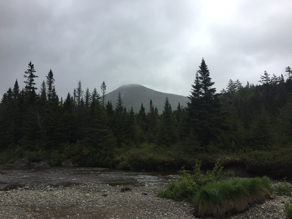 Photo: runJMrun, CC BY 2.0 (via Flickr)
Livingston Point Spur Trail
~23 min drive
0.49-mile out-and-back trail in New York with 109 ft of elevation gain.
 Photo: Andy Arthur, CC BY 2.0 (via Wikimedia Commons)
Goodnow Mountain Trail
~15 min drive
2.01-mile out-and-back hike to Goodnow Mountain in New York with 1,335 ft gain.
HIKE
Raquette Falls Carry
~9 min drive
2.06-mile out-and-back trail in New York with 511 ft elevation gain.
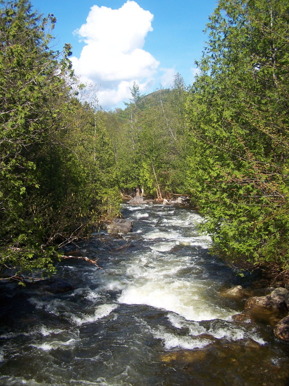 Photo: andyarthur, CC BY 2.0 (via Flickr)
Indian Pass Trail
~17 min drive
9.48-mile point-to-point trail in New York with 1,461 ft gain
HIKE
Blueberry Horse Trail
~11 min drive
0.56-mile out-and-back horse trail in New York with 141 ft gain.
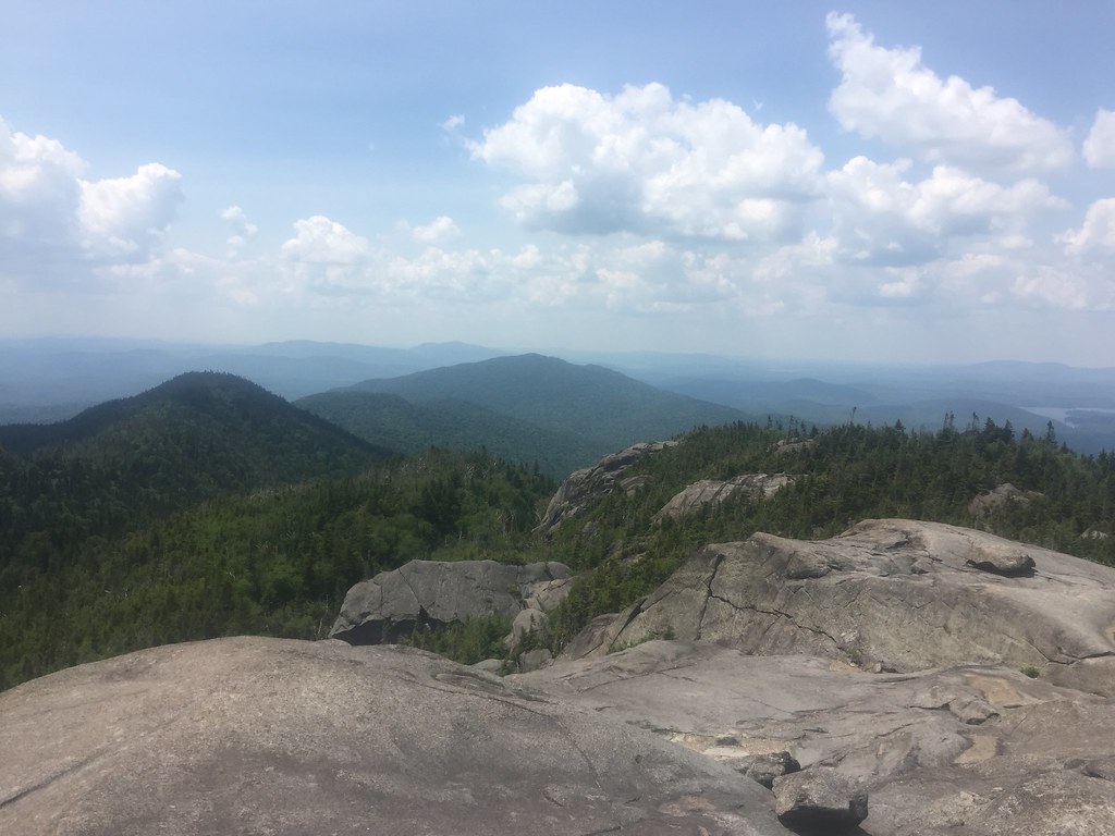 Photo: runJMrun — CC BY 2.0 (via Flickr)
Ampersand Mountain Trail
~18 min drive
2.47-mile point-to-point trail in New York with 1,784 ft elevation loss


Map and trail data © OpenStreetMap contributors
