Clarence Fahnestock Park Campsite
Campground
Campground · 0.1 mi from the trail
 Photo: PBoGS, CC BY-SA 2.0 (via Flickr)
Pelton Pond Trail is a short, easy loop in Clarence Fahnestock Memorial State Park in New York, managed by State Park and Recreation. The trail is about a mile long, with a total elevation gain of about 23 feet, so it's a gentle walk that fits easily into a longer day in the park. The route is a loop, and the steepest part comes at about 0.75 miles in, with a grade of about 8 percent. The trail starts at roughly 1,041 feet and reaches a high point of about 1,063 feet. For comfortable weather, late spring and early fall are the best bets. Typical averages from the nearby Stormville weather station show May highs around 72°F and September highs around 74°F, with July the warmest month at about 83°F. Several other trails sit close by. Roaring Brook Trail, a cross-country ski route, is about 0.2 miles away, and Fahnestock Trail is about 0.7 miles off. Climbers can find Cookie's Crag and Owl Cave about 4.8 miles away.
Clarence Fahnestock Park Campsite
Campground
Maya Cafe
Restaurant
 If it rainsRolf Müller ( User:Rolfmueller ), CC BY-SA 3.0 · Wikimedia Commons
Places © OpenStreetMap contributors · Photos: Rolf Müller ( User:Rolfmueller ), CC BY-SA 3.0 (commons)
More in New WindsorNot on Roamze yet. Their page has how to reach them.
Best months: April–October. Best months have typical highs of 55–85 °F, lows of 30 °F or warmer (32 °F where the station doesn't record snow), at most one snowy day and no more than 12 wet days.
Jan
35° / 17°
12 wet
Feb
39° / 19°
10 wet
Mar
49° / 27°
13 wet
Apr
61° / 38°
12 wet
May
72° / 48°
12 wet
Jun
77° / 58°
11 wet
Jul
83° / 63°
11 wet
Aug
82° / 62°
10 wet
Sep
74° / 55°
10 wet
Oct
63° / 43°
10 wet
Nov
50° / 32°
10 wet
Dec
39° / 24°
12 wet
Typical high / low (°F) and days with rain or snow, 1991–2020. Measured at Stormville, NY, 7 mi away at 915 ft. This station doesn't record snowfall. Source: NOAA NCEI U.S. Climate Normals 1991–2020.
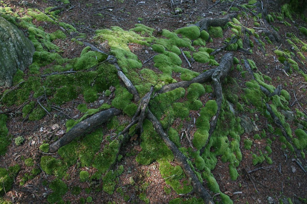 Photo: PBoGS, CC BY-SA 2.0 (via Flickr)
Roaring Brook Trail
Next door
7.39-mile point-to-point trail in New York with 1,483 ft gain.
Photo: PBoGS, CC BY-SA 2.0 (via Flickr)Roaring Brook Access Trail
~2 min drive
0.50-mile out-and-back trail in New York with 168 ft elevation gain.
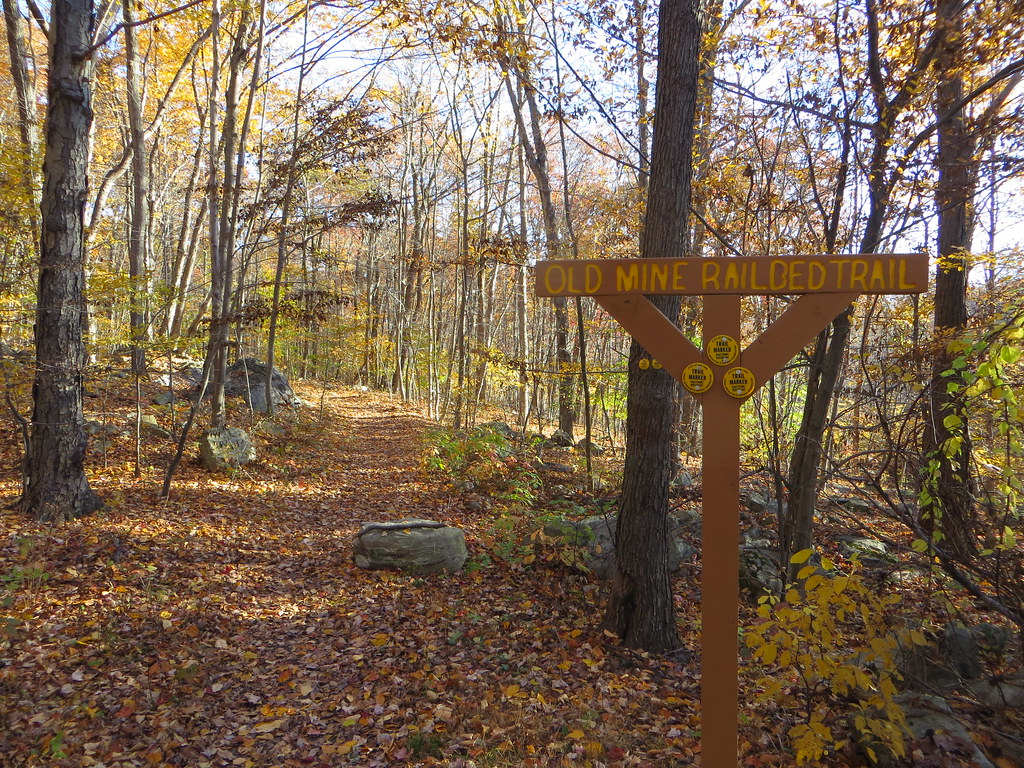 Photo: Russ Nelson, CC BY-SA 2.0 (via Flickr)
Appalachian Trail
~6 min drive
5.5-mile out-and-back on the Appalachian Trail in New York with 1,413 ft gain/loss
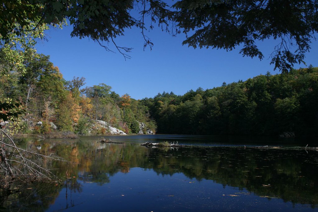 Photo: PBoGS, CC BY-SA 2.0 (via Flickr)
Fahnestock Trail
~1 min drive
A 6.3-mile point-to-point trail through New York's Hudson Valley woodlands.
 Photo: Russ Nelson, CC BY-SA 2.0 (via Flickr)
Cabot Trail
~3 min drive
1.02-mile out-and-back trail in New York with 289 ft gain.
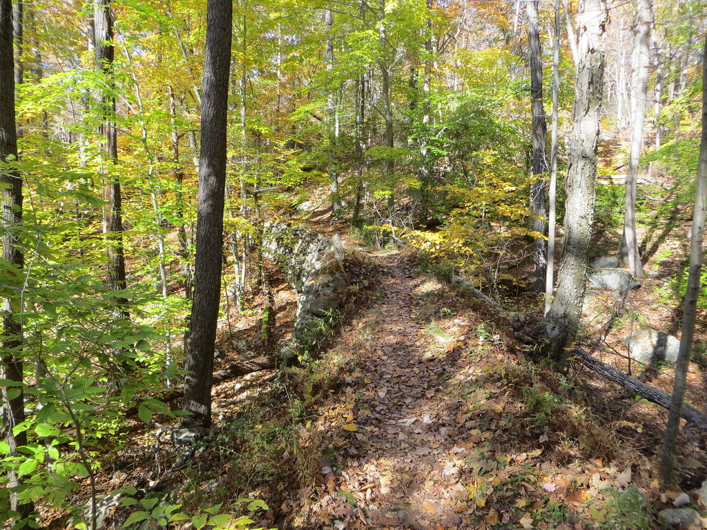 Photo: Russ Nelson, CC BY-SA 2.0 (via Flickr)
White Trail
~3 min drive
A 2-mile point-to-point trail in New York with easy access and minimal elevation.
 Photo: daveclausen, CC BY 2.0 (via Flickr)
Clove Creek Trail
~3 min drive
1.51-mile point-to-point trail in New York with 194 ft gain
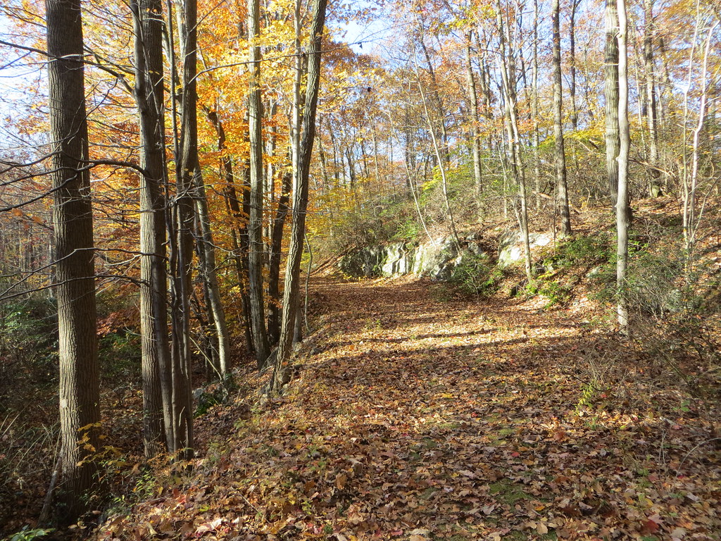 Photo: Russ Nelson, CC BY-SA 2.0 (via Flickr)
Old Mine Railroad Trail
~4 min drive
0.67-mile point-to-point trail in New York with 245 ft elevation gain.
Photo: daveclausen, CC BY 2.0 (via Flickr)Charcoal Burners Trail
~3 min drive
Historic 3.67-mile point-to-point forest trail in New York.
 Photo: New York Public Library, No restrictions (via Wikimedia Commons)
Perkins Trail
~5 min drive
A 3.13-mile point-to-point trail in New York.
Map and trail data © OpenStreetMap contributors
