Peanut Line Trail
- 1.6 mi
- round trip
- 87 ft
- climb
- 605 ft
- high point
- Out and back
- route
- Jun–Sep
- best months
Peanut Line Trail is a short, easy hike in western New York, about 1.2 miles from the community of Woodstream Farms. The trail is an out-and-back route that runs about 3.2 miles round trip, with a total climb of 87 feet and a total descent of 87 feet. The path is mostly flat, and the steepest stretch comes early on, at about 0.09 miles from the start, with a grade of about 2%. Summer is the most comfortable time to go. Typical averages from a nearby weather station in Buffalo show July highs around 80°F with lows near 63°F, while winter highs stay around freezing. The Erie Canalway Trail (Amherst to Lockport) lies about 4.5 miles away, and the Erie Canalway Trail (Tonawanda to Amherst) is about 6.2 miles off. The Yellow Trail and Scenic Woods Trails are both within about 10 miles.
- Erie Canalway Trail (Amherst to Lockport)Hiking4.5 mi
- Erie Canalway Trail (Tonawanda to Amherst)Hiking6.2 mi
- Yellow TrailHiking7.7 mi
- Scenic Woods blue trailHiking9.2 mi
- Scenic Woods TrailsHiking10 mi
Source: Roamze catalog (indexable pages within 10 miles, PostGIS distance)
 North Tonawanda Canalway TrailHiking · ~9 min drivePhoto: U. S. Fish and Wildlife Service - Northeast Region, Public domain (via Wikimedia Commons)
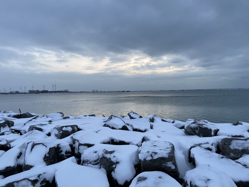 Erie Canalway Trail (Buffalo Harbor State Park to Hertel Avenue)Hiking · ~24 min drivePhoto: btwashburn, CC BY 2.0 (via Flickr)
 Conservation Trail (FLT)Hiking · ~23 min drivePhoto: jdmonin, CC BY-SA 2.0 (via Flickr)
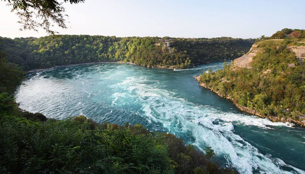 Paisley Janvary-Pool PathwayHiking · ~33 min drivePhoto: Mark Wordy, CC BY 2.0 (via Flickr)
 Conservation TrailHiking · ~27 min drivePhoto: javajoe6, CC BY-SA 3.0 (via Wikimedia Commons)
 Conservation Trail (FLT)Hiking · ~35 min drivePhoto: javajoe6, CC BY-SA 3.0 (via Wikimedia Commons)
 Conservation TrailHiking · ~29 min drivePhoto: javajoe6, CC BY-SA 3.0 (via Wikimedia Commons)
- Erie Canalway Trail (Amherst to Lockport)Hiking · ~8 min drive
 Shotgun Ridge 1Hiking · ~30 min drivePhoto: javajoe6, CC BY-SA 3.0 (via Wikimedia Commons)
- Erie Canalway Trail (Hertel Avenue to Tonawanda)Hiking · ~18 min drive
Best time to visit Peanut Line Trail
Best months: June–September. Best months have typical highs of 55–85 °F, lows of 30 °F or warmer (32 °F where the station doesn't record snow), at most one snowy day and no more than 12 wet days.
Jan
32° / 19°
19 wet
Feb
33° / 19°
16 wet
Mar
42° / 26°
15 wet
Apr
55° / 37°
13 wet
May
67° / 48°
13 wet
Jun
76° / 58°
11 wet
Jul
80° / 63°
11 wet
Aug
79° / 62°
10 wet
Sep
72° / 55°
11 wet
Oct
60° / 44°
14 wet
Nov
48° / 34°
15 wet
Dec
37° / 26°
18 wet
Typical high / low (°F) and days with rain or snow, 1991–2020. Measured at Buffalo, NY, 5 mi away at 693 ft. This station doesn't record snowfall. Source: NOAA NCEI U.S. Climate Normals 1991–2020.
Map and trail data © OpenStreetMap contributors
