Conservation Trail (FLT)
 Photo: javajoe6, CC BY-SA 3.0 (via Wikimedia Commons)
- 2.6 mi
- round trip
- 1,050 ft
- climb
- 1,242 ft
- high point
- Out and back
- route
- Jun–Sep
- best months
Conservation Trail (FLT) is a 2.56-mile moderate hike on County of Erie land in New York, about 5 miles from the town of Wales. The route is an out-and-back, roughly 5 miles long, with a steady climb from a low of 1,007 feet to a high of 1,242 feet. The total gain and loss are each about 1,050 feet, and the steepest stretch comes at about 1.8 miles, with a grade of about 13 percent. The trail is set on county-managed land, and the estimated trip takes about 2 hours. The most comfortable months for a visit are summer and early fall. Typical averages from a nearby weather station in Wales, NY, run from highs around 75°F in June to about 72°F in September, while winter brings highs near freezing and several snow days a month from December through February. The closest neighbors are the Mossy Point White and Red trails, each about 0.6 miles away, and the Green Blazes Trail at about 1.2 miles. Mountain bikers can find the Hunters Creek Trail about 1.4 miles off.
 Mossy Point White TrailHikingPhoto: javajoe6, CC BY-SA 3.0 (via Wikimedia Commons)0.6 mi
 Mossy Point Red TrailHikingPhoto: javajoe6, CC BY-SA 3.0 (via Wikimedia Commons)0.6 mi
 Green Blazes TrailHikingPhoto: javajoe6, CC BY-SA 3.0 (via Wikimedia Commons)1.2 mi
- Hunters Creek TrailMountain biking1.4 mi
- Sargent Mark TrailMountain biking1.6 mi
- Outer Loop TrailHiking5.2 mi
- Long TrailHiking9.8 mi
Source: Roamze catalog (indexable pages within 10 miles, PostGIS distance)
- Mossy Point White TrailHiking · Next doorPhoto: javajoe6, CC BY-SA 3.0 (via Wikimedia Commons)
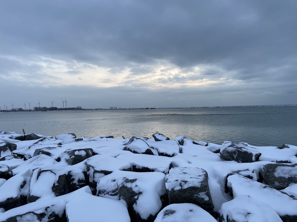 Erie Canalway Trail (Buffalo Harbor State Park to Hertel Avenue)Hiking · ~30 min drivePhoto: btwashburn, CC BY 2.0 (via Flickr)
- Erie Cattaraugus Rail TrailHiking · ~36 min drive
- Mossy Point Red TrailHiking · ~1 min drivePhoto: javajoe6, CC BY-SA 3.0 (via Wikimedia Commons)
- Gorge Rim TrailHiking · ~32 min drive
- Groveland Secondary TrailHiking · ~42 min drive
- Green Blazes TrailHiking · ~2 min drivePhoto: javajoe6, CC BY-SA 3.0 (via Wikimedia Commons)
- Erie Canalway Trail (Hertel Avenue to Tonawanda)Hiking · ~39 min drive
 Conservation Trail (FLT)Hiking · ~15 min drivePhoto: javajoe6, CC BY-SA 3.0 (via Wikimedia Commons)
- Erie Canalway Trail (Amherst to Lockport)Hiking · ~42 min drive
Best time to visit Conservation Trail (FLT)
Best months: June–September. Best months have typical highs of 55–85 °F, lows of 30 °F or warmer (32 °F where the station doesn't record snow), at most one snowy day and no more than 12 wet days.
Jan
32° / 15°
18 wet · 13 snow
Feb
33° / 15°
15 wet · 11 snow
Mar
42° / 22°
14 wet · 7 snow
Apr
55° / 33°
13 wet · 2 snow
May
67° / 44°
13 wet
Jun
75° / 54°
12 wet
Jul
79° / 58°
11 wet
Aug
78° / 57°
11 wet
Sep
72° / 50°
11 wet
Oct
59° / 40°
13 wet · 1 snow
Nov
47° / 31°
14 wet · 4 snow
Dec
37° / 22°
17 wet · 10 snow
Typical high / low (°F) and days with rain or snow, 1991–2020. Measured at Wales, NY, 3.1 mi away at 1,135 ft. Source: NOAA NCEI U.S. Climate Normals 1991–2020.
Map and trail data © OpenStreetMap contributors
