Erie Canalway Trail (Tonawanda to Amherst)
- 10.0 mi
- one way
- 10 ft
- climb
- 585 ft
- high point
- Point to point
- route
- Jun–Sep
- best months
The Erie Canalway Trail from Tonawanda to Amherst is a 10-mile point-to-point route in western New York, running between the two towns along the canal corridor. The trail is rated easy, with a total elevation gain of just 10 feet, and it passes within about half a mile of Park Village, the nearest town. The route is nearly flat, with the high point at 585 feet and the low at 565 feet. The steepest stretch comes at about 9.4 miles, where the grade reaches 4 percent. Bikes are allowed, so the trail works for both walking and riding. Late spring and early fall are the most comfortable times to go. Typical averages from a nearby weather station in Tonawanda show May highs around 70°F and September highs around 74°F, while winter brings frequent snow days. Several other trails sit within a few miles. The Yellow Trail is about 2.7 miles away, and the Scenic Woods blue trail is about 3.1 miles away. The Erie Canalway Trail from Hertel Avenue to Tonawanda is about 6.1 miles away, and the Peanut Line Trail is about 4.6 miles away.
- Yellow TrailHiking2.7 mi
- Scenic Woods blue trailHiking3.1 mi
- Scenic Woods TrailsHiking3.9 mi
- Peanut Line TrailHiking4.6 mi
- Erie Canalway Trail (Hertel Avenue to Tonawanda)Hiking6.1 mi
- Loop TrailHiking7.6 mi
- Nike Base - White TrailHiking7.6 mi
- Nike Base TrailsHiking7.6 mi
Source: Roamze catalog (indexable pages within 10 miles, PostGIS distance)
 North Tonawanda Canalway TrailHiking · ~2 min drivePhoto: U. S. Fish and Wildlife Service - Northeast Region, Public domain (via Wikimedia Commons)
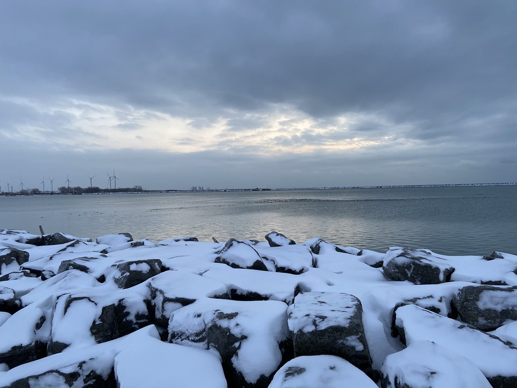 Erie Canalway Trail (Buffalo Harbor State Park to Hertel Avenue)Hiking · ~21 min drivePhoto: btwashburn, CC BY 2.0 (via Flickr)
 Upper Canada Heritage TrailHiking · ~33 min drivePhoto: Kenneth A W Gansel, CC BY-SA 4.0 (via Wikimedia Commons)
 Laura Secord Legacy TrailHiking · ~38 min drivePhoto: Mustang Joe, Public Domain Dedication (CC0) (via Flickr)
 Dr. Henry G. Acres PathwayHiking · ~23 min drivePhoto: Brian Desrosiers Photography from Fort Erie, Canada, CC BY 2.0 (via Wikimedia Commons)
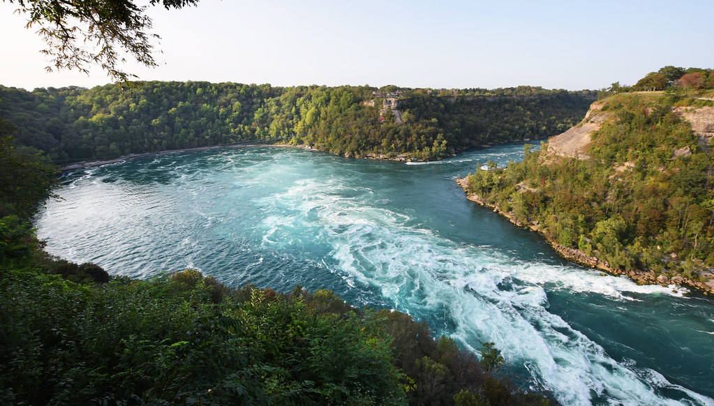 Paisley Janvary-Pool PathwayHiking · ~23 min drivePhoto: Mark Wordy, CC BY 2.0 (via Flickr)
- Bruce Trail - Niagara SectionHiking · ~29 min drive
 Canada 150 PathwayHiking · ~24 min drivePhoto: calix, CC BY 2.0 (via Flickr)
- Erie Canalway Trail (Hertel Avenue to Tonawanda)Hiking · ~10 min drive
 Conservation Trail (FLT)Hiking · ~33 min drivePhoto: jdmonin, CC BY-SA 2.0 (via Flickr)
Best time to visit Erie Canalway Trail (Tonawanda to Amherst)
Best months: June–September. Best months have typical highs of 55–85 °F, lows of 30 °F or warmer (32 °F where the station doesn't record snow), at most one snowy day and no more than 12 wet days.
Jan
33° / 17°
19 wet · 16 snow
Feb
36° / 17°
16 wet · 13 snow
Mar
44° / 24°
16 wet · 9 snow
Apr
57° / 33°
14 wet · 3 snow
May
70° / 45°
13 wet
Jun
79° / 55°
12 wet
Jul
83° / 59°
11 wet
Aug
81° / 58°
11 wet
Sep
74° / 50°
11 wet
Oct
61° / 40°
14 wet · 1 snow
Nov
49° / 31°
15 wet · 5 snow
Dec
38° / 23°
18 wet · 11 snow
Typical high / low (°F) and days with rain or snow, 1991–2020. Measured at N Tonawanda, NY, 2.7 mi away at 578 ft. Source: NOAA NCEI U.S. Climate Normals 1991–2020.

Map and trail data © OpenStreetMap contributors
