Erie Canalway Trail (Amherst to Lockport)
- 7.2 mi
- one way
- 88 ft
- climb
- 615 ft
- high point
- Point to point
- route
- Jun–Sep
- best months
The Erie Canalway Trail from Amherst to Lockport is a 7.2-mile point-to-point route in western New York, running from the town of Pendleton, about 0.1 mile away, to Lockport. The trail rises from 585 feet to 615 feet, with the steepest stretch at about 3.4 miles in, where the grade reaches 6 percent. The climb is modest, with an elevation gain of 88 feet, and the route is rated moderate. Late spring and early fall are the most comfortable times to go. Typical averages from a nearby weather station in Tonawanda show May highs around 70°F and September highs around 74°F, while winter brings frequent snow days from December through February. Bikes are allowed on this section. The trail is part of the Erie Canalway Trail network, and the Tonawanda to Amherst segment lies about 7.8 miles away. The Peanut Line Trail is about 4.5 miles off, and the Erie Canalway Trail from Lockport to Middleport is about 6.1 miles away.
Best time to go · Jun–Sep
Best time to visit Erie Canalway Trail (Amherst to Lockport)
Best months: June–September. Best months have typical highs of 55–85 °F, lows of 30 °F or warmer (32 °F where the station doesn't record snow), at most one snowy day and no more than 12 wet days.
Jan
33° / 17°
19 wet · 16 snow
Feb
36° / 17°
16 wet · 13 snow
Mar
44° / 24°
16 wet · 9 snow
Apr
57° / 33°
14 wet · 3 snow
May
70° / 45°
13 wet
Jun
79° / 55°
12 wet
Jul
83° / 59°
11 wet
Aug
81° / 58°
11 wet
Sep
74° / 50°
11 wet
Oct
61° / 40°
14 wet · 1 snow
Nov
49° / 31°
15 wet · 5 snow
Dec
38° / 23°
18 wet · 11 snow
Typical high / low (°F) and days with rain or snow, 1991–2020. Measured at N Tonawanda, NY, 7 mi away at 578 ft. Source: NOAA NCEI U.S. Climate Normals 1991–2020.
Keep exploring — more trails worth the drive
 Photo: U. S. Fish and Wildlife Service - Northeast Region, Public domain (via Wikimedia Commons)
North Tonawanda Canalway Trail
~11 min drive
Easy waterfront out-and-back walk along the historic Erie Canal.
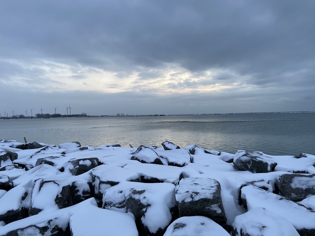 Photo: btwashburn, CC BY 2.0 (via Flickr)
Erie Canalway Trail (Buffalo Harbor State Park to Hertel Avenue)
~31 min drive
7.98-mile point-to-point trail from Buffalo Harbor State Park to Hertel Avenue
 Photo: Kenneth A W Gansel, CC BY-SA 4.0 (via Wikimedia Commons)
Upper Canada Heritage Trail
~36 min drive
An out-and-back trail, 0.7 miles each way (1.3 miles round trip) in Ontario, Canada.
HIKE
Bruce Trail - Niagara Section
~36 min drive
A demanding 49-mile point-to-point trail in New York's Niagara region, perfect for experienced hikers seeking a serious backcountry challenge.
 Photo: jdmonin, CC BY-SA 2.0 (via Flickr)
Conservation Trail (FLT)
~24 min drive
3.44-mile out-and-back trail in New York with 21 ft elevation gain
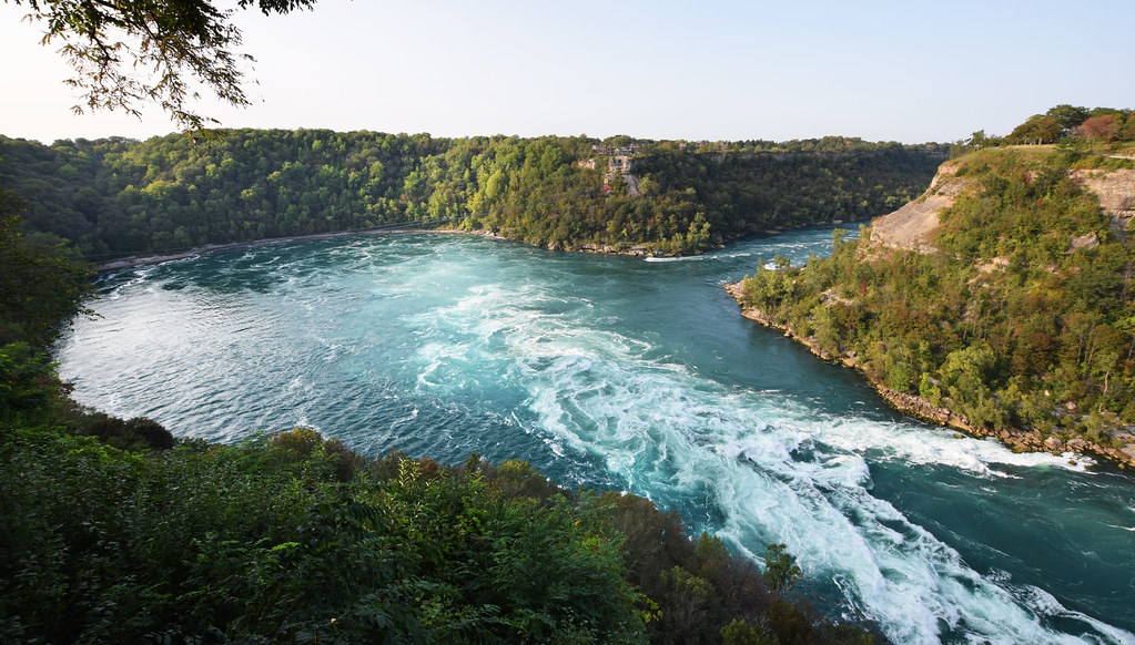 Photo: Mark Wordy, CC BY 2.0 (via Flickr)
Paisley Janvary-Pool Pathway
~31 min drive
A moderate 0.84-mile paved lollipop trail in New York that connects to multiple regional pathways for extended hiking opportunities.
 Photo: Russ Nelson, CC BY-SA 2.0 (via Wikimedia Commons)
Erie Canalway Trail (Middleport to Albion)
~27 min drive
18.8-mile point-to-point trail from Middleport to Albion on the Erie Canalway.
HIKE
Erie Canalway Trail (Hertel Avenue to Tonawanda)
~23 min drive
9.44-mile point-to-point trail on the Erie Canalway in New York.
 Photo: javajoe6, CC BY-SA 3.0 (via Wikimedia Commons)
Conservation Trail
~30 min drive
2.56-mile out-and-back trail in New York with 136 ft elevation gain
 Photo: javajoe6, CC BY-SA 3.0 (via Wikimedia Commons)
Conservation Trail
~33 min drive
0.35-mile out-and-back hike in New York with 30 ft elevation gain.
Map and trail data © OpenStreetMap contributors
