Erie Canalway Trail (Buffalo Harbor State Park to Hertel Avenue)
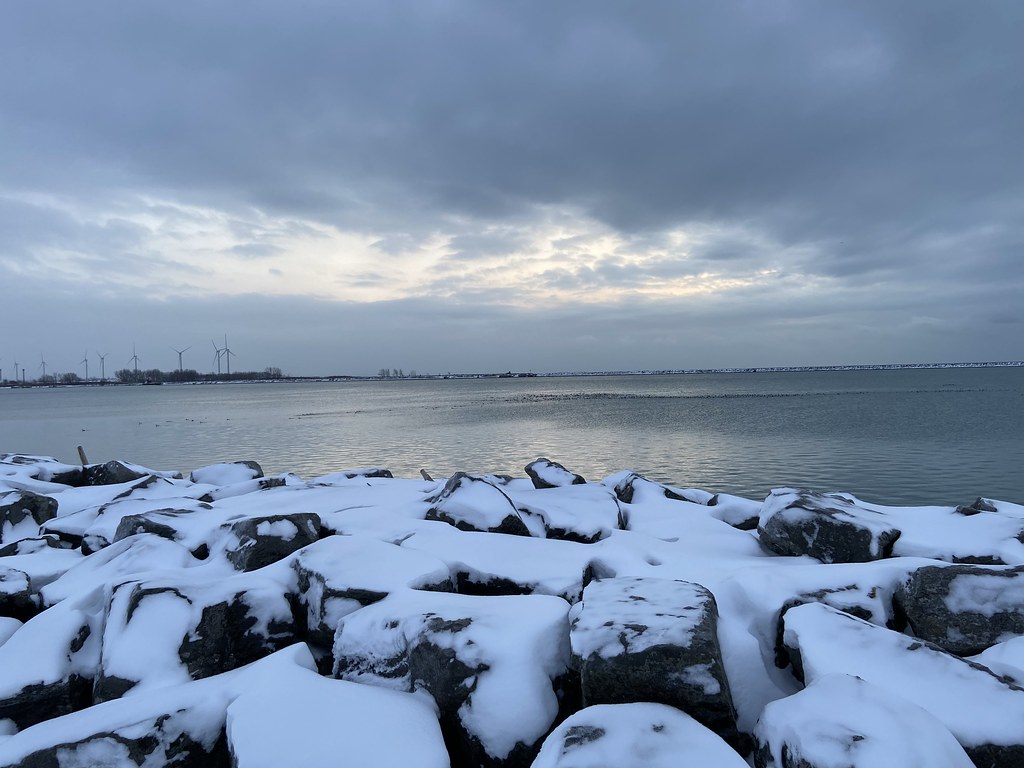 Photo: btwashburn, CC BY 2.0 (via Flickr)
- 8.0 mi
- one way
- 73 ft
- climb
- 632 ft
- high point
- Point to point
- route
- Jun–Sep
- best months
The Erie Canalway Trail from Buffalo Harbor State Park to Hertel Avenue is a 7.98-mile point-to-point hike in Buffalo, New York, managed by State Park and Recreation. It starts within Buffalo Harbor State Park and ends at Hertel Avenue, with a total elevation gain of 73 feet over the course of the route. The trail is rated moderate. The climb is gentle, with the steepest stretch at about 2.5 miles in, where the grade reaches 7 percent. The route runs from a low of about 573 feet to a high of about 632 feet, and the start sits at roughly 583 feet. Summer is the most comfortable time to go. Typical averages from a nearby weather station in Buffalo show July highs around 80°F with lows near 63°F, while winter highs stay around freezing. Bikes are allowed on this section of the trail. The Buffalo Blueway, a canoeing route, lies about 1.8 miles away. The Erie Canalway Trail continues from Hertel Avenue to Tonawanda, about 6.9 miles off, and the Gorge Rim Trail is about 9.7 miles away.
Best time to go · Jun–Sep
Best time to visit Erie Canalway Trail (Buffalo Harbor State Park to Hertel Avenue)
Best months: June–September. Best months have typical highs of 55–85 °F, lows of 30 °F or warmer (32 °F where the station doesn't record snow), at most one snowy day and no more than 12 wet days.
Jan
32° / 19°
19 wet
Feb
33° / 19°
16 wet
Mar
42° / 26°
15 wet
Apr
55° / 37°
13 wet
May
67° / 48°
13 wet
Jun
76° / 58°
11 wet
Jul
80° / 63°
11 wet
Aug
79° / 62°
10 wet
Sep
72° / 55°
11 wet
Oct
60° / 44°
14 wet
Nov
48° / 34°
15 wet
Dec
37° / 26°
18 wet
Typical high / low (°F) and days with rain or snow, 1991–2020. Measured at Buffalo, NY, 9.5 mi away at 693 ft. This station doesn't record snowfall. Source: NOAA NCEI U.S. Climate Normals 1991–2020.
Keep exploring — more trails worth the drive
 Photo: amerune, CC BY 2.0 (via Flickr)
Orienteering Trail
~18 min drive
2.6-mile out-and-back trail in New York with 831 ft elevation gain
 Photo: javajoe6, CC BY-SA 3.0 (via Wikimedia Commons)
Conservation Trail (FLT)
~30 min drive
5.12-mile out-and-back trail in New York with 1,050 ft elevation gain
 Photo: Carrotflower Productions International, CC BY-SA 2.0 (via Flickr)
Boy Scout Trail
~18 min drive
2.18-mile out-and-back hike in New York with 364 ft elevation gain
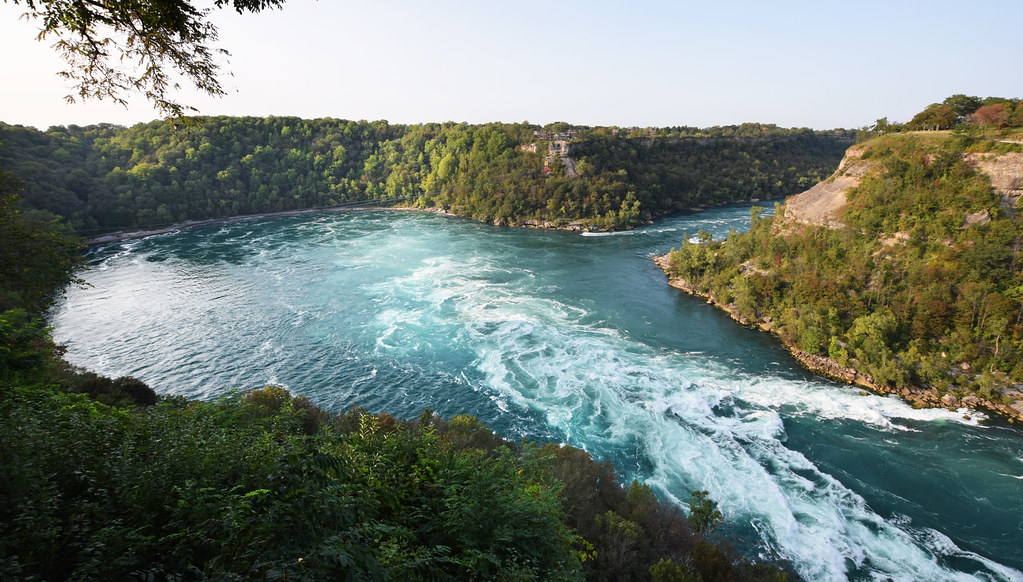 Photo: Mark Wordy, CC BY 2.0 (via Flickr)
Paisley Janvary-Pool Pathway
~38 min drive
A moderate 0.84-mile paved lollipop trail in New York that connects to multiple regional pathways for extended hiking opportunities.
 Photo: daveynin, CC BY 2.0 (via Flickr)
Ward Hill Trail
~20 min drive
Ward Hill Trail is a 1.12-mile point-to-point trail in New York.
HIKE
Erie Canalway Trail (Hertel Avenue to Tonawanda)
~12 min drive
9.44-mile point-to-point trail on the Erie Canalway in New York.
 Photo: Andre Carrotflower, CC BY-SA 4.0 (via Wikimedia Commons)
Eternal Flame Trail
~20 min drive
0.54-mile point-to-point trail in New York with 166 ft gain
HIKE
Gorge Rim Trail
~17 min drive
2.53-mile out-and-back hike in New York with 916 ft of elevation gain.
 Photo: U. S. Fish and Wildlife Service - Northeast Region, Public domain (via Wikimedia Commons)
North Tonawanda Canalway Trail
~22 min drive
Easy waterfront out-and-back walk along the historic Erie Canal.
HIKE
Erie Canalway Trail (Amherst to Lockport)
~31 min drive
7.24-mile point-to-point trail from Amherst to Lockport on the Erie Canalway in New York.

Map and trail data © OpenStreetMap contributors
